951 Pottstown Pike West Chester, PA 19380
Estimated Value: $727,000 - $922,129
3
Beds
4
Baths
2,680
Sq Ft
$299/Sq Ft
Est. Value
About This Home
This home is located at 951 Pottstown Pike, West Chester, PA 19380 and is currently estimated at $801,532, approximately $299 per square foot. 951 Pottstown Pike is a home located in Chester County with nearby schools including Fern Hill Elementary School, E.N. Peirce Middle School, and Henderson High School.
Ownership History
Date
Name
Owned For
Owner Type
Purchase Details
Closed on
Mar 13, 1998
Sold by
Friedlander Irving R and Friedlander Elaine M P
Bought by
Clark Andrew and Clark Laurie
Current Estimated Value
Home Financials for this Owner
Home Financials are based on the most recent Mortgage that was taken out on this home.
Original Mortgage
$200,000
Outstanding Balance
$36,265
Interest Rate
6.92%
Estimated Equity
$765,267
Purchase Details
Closed on
Dec 29, 1997
Sold by
Blue Rock Realty Corp Ii
Bought by
Friedlander Irving R and Friedlander Elaine M P
Home Financials for this Owner
Home Financials are based on the most recent Mortgage that was taken out on this home.
Original Mortgage
$133,000
Interest Rate
7.11%
Create a Home Valuation Report for This Property
The Home Valuation Report is an in-depth analysis detailing your home's value as well as a comparison with similar homes in the area
Home Values in the Area
Average Home Value in this Area
Purchase History
| Date | Buyer | Sale Price | Title Company |
|---|---|---|---|
| Clark Andrew | $250,000 | -- | |
| Friedlander Irving R | $165,000 | -- |
Source: Public Records
Mortgage History
| Date | Status | Borrower | Loan Amount |
|---|---|---|---|
| Open | Clark Andrew | $200,000 | |
| Previous Owner | Friedlander Irving R | $133,000 | |
| Closed | Clark Andrew | $25,000 |
Source: Public Records
Tax History Compared to Growth
Tax History
| Year | Tax Paid | Tax Assessment Tax Assessment Total Assessment is a certain percentage of the fair market value that is determined by local assessors to be the total taxable value of land and additions on the property. | Land | Improvement |
|---|---|---|---|---|
| 2025 | $6,104 | $268,530 | $91,560 | $176,970 |
| 2024 | $6,104 | $268,530 | $91,560 | $176,970 |
| 2023 | $7,784 | $268,530 | $91,560 | $176,970 |
| 2022 | $7,683 | $268,530 | $91,560 | $176,970 |
| 2021 | $7,576 | $268,530 | $91,560 | $176,970 |
| 2020 | $7,527 | $268,530 | $91,560 | $176,970 |
| 2019 | $7,423 | $268,530 | $91,560 | $176,970 |
| 2018 | $7,265 | $268,530 | $91,560 | $176,970 |
| 2017 | $7,107 | $268,530 | $91,560 | $176,970 |
| 2016 | $5,933 | $268,530 | $91,560 | $176,970 |
| 2015 | $5,933 | $268,530 | $91,560 | $176,970 |
| 2014 | $5,933 | $268,530 | $91,560 | $176,970 |
Source: Public Records
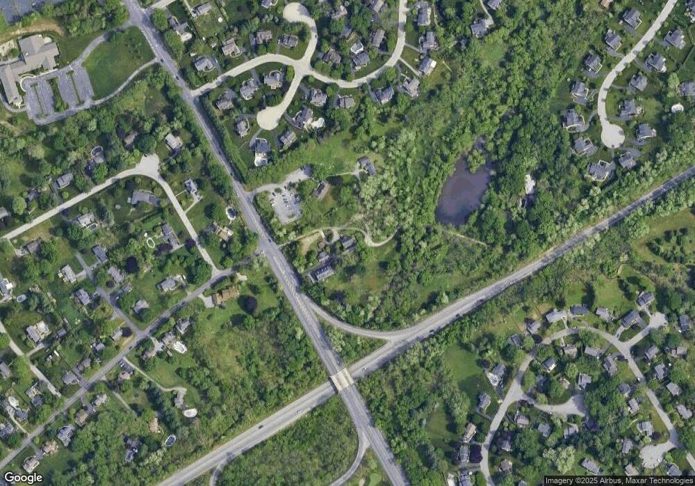
Map
Nearby Homes
- 112 Crosspointe Dr
- 1103 Judson Dr
- 911 Baylowell Dr
- 723 Hillside Dr
- 626 N Matlack St
- 204 Ford Cir
- 904 Sylvania Ln
- 347 E Biddle St
- 751 Mccardle Dr Unit 27
- 505 S Maryland Ave
- 530 Legion Dr
- 744 Mccardle Dr Unit 35
- 303 W Washington St
- 14 Greenhill Rd
- 233 E Market St
- 333 Hannum Ave
- 418 Hannum Ave
- 145 E Miner St
- 1614 Phillips Dr
- 306 Greenhill Rd
- 1113 Judson Dr
- 1115 Judson Dr
- 1111 Judson Dr
- 1109 Judson Dr
- 921 Baylowell Dr
- 919 Baylowell Dr
- 1106 Judson Dr
- 1108 Judson Dr
- 923 Baylowell Dr
- 1107 Judson Dr
- 116 Crosspointe Dr
- 917 Baylowell Dr
- 114 Crosspointe Dr
- 1104 Judson Dr
- 211 James Dr
- 925 Baylowell Dr
- 1105 Judson Dr
- 124 Crosspointe Dr
- 915 Baylowell Dr
- 920 Baylowell Dr