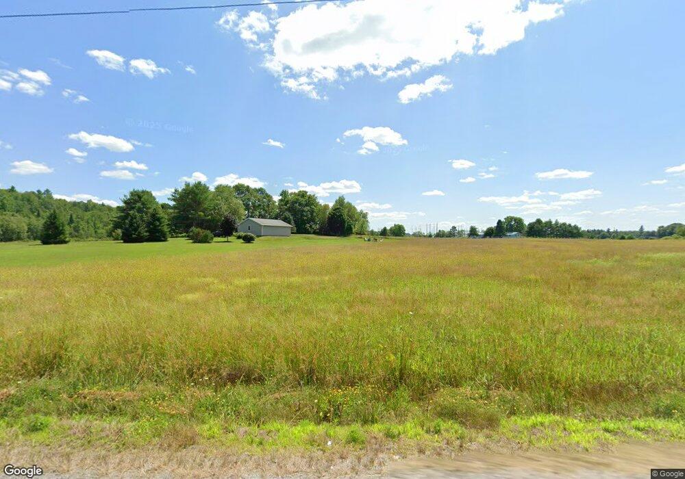
951 S Belfast Rd Windsor, ME 04363
Estimated Value: $223,000 - $449,000
--
Bed
--
Bath
--
Sq Ft
5.25
Acres
About This Home
This home is located at 951 S Belfast Rd, Windsor, ME 04363 and is currently estimated at $323,016. 951 S Belfast Rd is a home with nearby schools including Windsor Elementary School.
Ownership History
Date
Name
Owned For
Owner Type
Purchase Details
Closed on
Jul 5, 2005
Sold by
Whitaker Doris L
Bought by
Whitaker Lee A
Current Estimated Value
Home Financials for this Owner
Home Financials are based on the most recent Mortgage that was taken out on this home.
Original Mortgage
$110,500
Interest Rate
5.83%
Mortgage Type
Commercial
Purchase Details
Closed on
Jun 2, 2005
Sold by
Whitaker Lee A
Bought by
Whitaker Kristina M and Whitaker Lee A
Home Financials for this Owner
Home Financials are based on the most recent Mortgage that was taken out on this home.
Original Mortgage
$110,500
Interest Rate
5.83%
Mortgage Type
Commercial
Create a Home Valuation Report for This Property
The Home Valuation Report is an in-depth analysis detailing your home's value as well as a comparison with similar homes in the area
Home Values in the Area
Average Home Value in this Area
Purchase History
| Date | Buyer | Sale Price | Title Company |
|---|---|---|---|
| Whitaker Lee A | -- | -- | |
| Whitaker Kristina M | -- | -- |
Source: Public Records
Mortgage History
| Date | Status | Borrower | Loan Amount |
|---|---|---|---|
| Closed | Whitaker Kristina M | $110,500 |
Source: Public Records
Tax History Compared to Growth
Tax History
| Year | Tax Paid | Tax Assessment Tax Assessment Total Assessment is a certain percentage of the fair market value that is determined by local assessors to be the total taxable value of land and additions on the property. | Land | Improvement |
|---|---|---|---|---|
| 2024 | $2,509 | $272,700 | $39,600 | $233,100 |
| 2023 | $1,643 | $113,300 | $24,500 | $88,800 |
| 2022 | $1,552 | $113,300 | $24,500 | $88,800 |
| 2021 | $1,473 | $113,300 | $24,500 | $88,800 |
| 2020 | $5,036 | $113,300 | $24,500 | $88,800 |
| 2019 | $1,439 | $113,300 | $24,500 | $88,800 |
| 2018 | $1,462 | $113,300 | $24,500 | $88,800 |
| 2017 | $4,446 | $113,300 | $24,500 | $88,800 |
| 2016 | $1,439 | $113,300 | $24,500 | $88,800 |
| 2015 | $1,348 | $113,300 | $24,500 | $88,800 |
| 2014 | $1,473 | $113,300 | $24,500 | $88,800 |
| 2013 | $1,496 | $113,300 | $24,500 | $88,800 |
Source: Public Records
Map
Nearby Homes
- 70 Greeley Rd
- 25 Rockwood Estates
- 21 Rockwood Estates
- 295 Coopers Mills Rd
- 3 Howards Ln
- 206 Maxcy's Mill Rd
- 24 Taylor Rd
- 216 Windsor Neck Rd
- Lot 38-D Choate Rd
- 20 Pitt Rd
- 329 Reed Rd
- 3 Elmwood Ave
- 10 Ridge Rd
- 814 Augusta-Rockland Rd
- 57 Elm Ln
- 119 Main St
- 214 Augusta Rockland Rd
- Off Munsey Rd
- 18 South Rd
- 140 Ingraham Rd
- 960 S Belfast Rd
- 936 S Belfast Rd
- 944 S Belfast Rd
- 22 Coopers Mills Rd
- 7 Coopers Mills Rd
- 1 Sampson Rd
- Lot 11 Sampson Rd
- 14 Sampson Rd
- Lot 10 Sampson Rd
- 48 Coopers Mills Rd
- 48 Coopers Mills
- 1008 S Belfast Rd
- 1008 S Belfast Rd
- Lot 86-1 Coopers Mills Rd
- 63 Sampson Rd
- 892 S Belfast Rd
- 1014 S Belfast Rd
- 880 S Belfast Rd
- TBD S Belfast Ave
- 95 Coopers Mills Rd