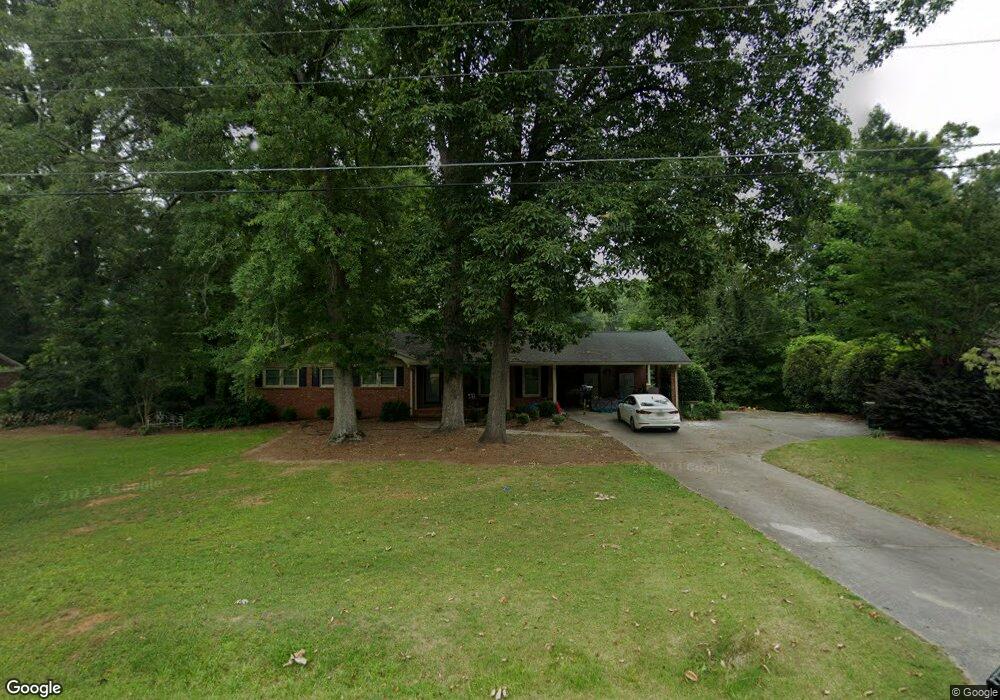
951 William St Madison, GA 30650
Estimated Value: $429,615 - $638,000
4
Beds
2
Baths
1,725
Sq Ft
$309/Sq Ft
Est. Value
About This Home
This home is located at 951 William St, Madison, GA 30650 and is currently estimated at $532,654, approximately $308 per square foot. 951 William St is a home located in Morgan County with nearby schools including Morgan County Primary School, Morgan County Elementary School, and Morgan County Middle School.
Ownership History
Date
Name
Owned For
Owner Type
Purchase Details
Closed on
Apr 17, 2018
Sold by
Coody V Cameron V
Bought by
Long Ashley E and Long Joshua R
Current Estimated Value
Home Financials for this Owner
Home Financials are based on the most recent Mortgage that was taken out on this home.
Original Mortgage
$266,000
Outstanding Balance
$228,809
Interest Rate
4.45%
Mortgage Type
New Conventional
Estimated Equity
$303,845
Purchase Details
Closed on
Aug 26, 2002
Sold by
Coody Cameron V
Bought by
Coody Cameron V
Purchase Details
Closed on
Jun 28, 1996
Sold by
Black Brian C
Bought by
Norris Paul H
Purchase Details
Closed on
Aug 28, 1990
Sold by
Treadwell Dorothy H N and Treadwell K
Bought by
Black Brian C
Create a Home Valuation Report for This Property
The Home Valuation Report is an in-depth analysis detailing your home's value as well as a comparison with similar homes in the area
Home Values in the Area
Average Home Value in this Area
Purchase History
| Date | Buyer | Sale Price | Title Company |
|---|---|---|---|
| Long Ashley E | $280,000 | -- | |
| Coody Cameron V | -- | -- | |
| Coody Cameron V | $170,000 | -- | |
| Norris Paul H | $135,000 | -- | |
| Black Brian C | $92,500 | -- |
Source: Public Records
Mortgage History
| Date | Status | Borrower | Loan Amount |
|---|---|---|---|
| Open | Long Ashley E | $266,000 |
Source: Public Records
Tax History Compared to Growth
Tax History
| Year | Tax Paid | Tax Assessment Tax Assessment Total Assessment is a certain percentage of the fair market value that is determined by local assessors to be the total taxable value of land and additions on the property. | Land | Improvement |
|---|---|---|---|---|
| 2024 | $3,434 | $122,197 | $22,000 | $100,197 |
| 2023 | $3,287 | $113,634 | $22,000 | $91,634 |
| 2022 | $3,229 | $107,574 | $20,000 | $87,574 |
| 2021 | $3,181 | $105,574 | $18,000 | $87,574 |
| 2020 | $3,213 | $105,574 | $18,000 | $87,574 |
| 2019 | $3,264 | $105,574 | $18,000 | $87,574 |
| 2018 | $3,308 | $105,574 | $18,000 | $87,574 |
| 2017 | $2,819 | $88,610 | $18,000 | $70,610 |
| 2016 | $2,610 | $80,095 | $18,000 | $62,095 |
| 2015 | $2,641 | $79,960 | $18,000 | $61,960 |
| 2014 | $2,493 | $77,440 | $20,000 | $57,440 |
| 2013 | -- | $72,520 | $20,000 | $52,520 |
Source: Public Records
Map
Nearby Homes
- 1033 Crawford St
- 991 Crawford St
- .78 +/- acres Poplar St
- 1000 Jacob Prickett Ln
- 1291 Spinnaker Rd
- 1001 Alaina Ave
- 1041 Alaina Ave Unit 69
- 1001 Alaina Ave Unit 71
- 1041 Alaina Ave
- 691 Skyline Dr
- 811 Foster St
- 665 E Walton St
- 1.19 +/- ACRES Poplar St
- 757 Markhams Dr
- 426 Poplar St
- 411 Old Post Rd
- 617 Dixie Ave
- 690 Foster Park Ln
- 601 Foster Park Ln
- 855 Meadow Ridge Dr