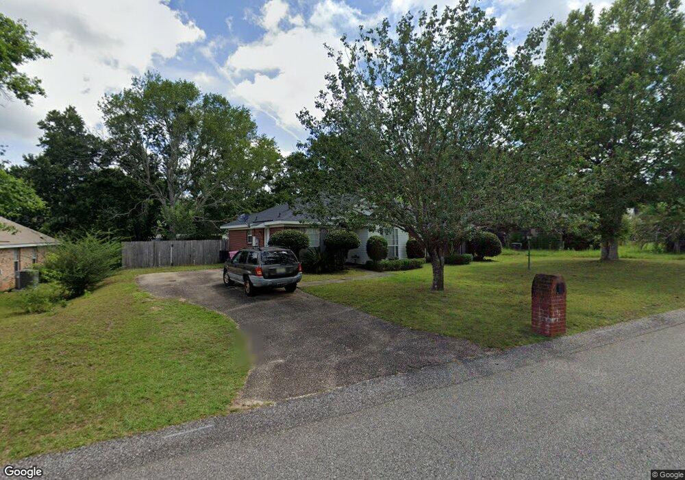
9510 Oak Forrest Dr Mobile, AL 36695
Baker NeighborhoodEstimated Value: $213,474 - $254,000
4
Beds
2
Baths
1,659
Sq Ft
$142/Sq Ft
Est. Value
About This Home
This home is located at 9510 Oak Forrest Dr, Mobile, AL 36695 and is currently estimated at $234,869, approximately $141 per square foot. 9510 Oak Forrest Dr is a home located in Mobile County with nearby schools including Elsie Collier Elementary School, Bernice J Causey Middle School, and Baker High School.
Ownership History
Date
Name
Owned For
Owner Type
Purchase Details
Closed on
Apr 8, 2013
Sold by
Perrington Carol K and Mccurdy Ian M
Bought by
Perrington Carol K
Current Estimated Value
Home Financials for this Owner
Home Financials are based on the most recent Mortgage that was taken out on this home.
Original Mortgage
$181,500
Interest Rate
3.59%
Mortgage Type
Reverse Mortgage Home Equity Conversion Mortgage
Purchase Details
Closed on
May 7, 2009
Sold by
Perrington Carol K
Bought by
Perrington Carol K and Mccurdy Ian M
Create a Home Valuation Report for This Property
The Home Valuation Report is an in-depth analysis detailing your home's value as well as a comparison with similar homes in the area
Home Values in the Area
Average Home Value in this Area
Purchase History
| Date | Buyer | Sale Price | Title Company |
|---|---|---|---|
| Perrington Carol K | -- | Dst | |
| Perrington Carol K | -- | At |
Source: Public Records
Mortgage History
| Date | Status | Borrower | Loan Amount |
|---|---|---|---|
| Closed | Perrington Carol K | $181,500 |
Source: Public Records
Tax History
| Year | Tax Paid | Tax Assessment Tax Assessment Total Assessment is a certain percentage of the fair market value that is determined by local assessors to be the total taxable value of land and additions on the property. | Land | Improvement |
|---|---|---|---|---|
| 2025 | -- | $16,660 | $4,000 | $12,660 |
| 2024 | -- | $15,530 | $4,000 | $11,530 |
| 2023 | $0 | $15,030 | $4,000 | $11,030 |
| 2022 | $0 | $13,490 | $4,000 | $9,490 |
| 2021 | $0 | $13,290 | $4,000 | $9,290 |
| 2020 | $0 | $13,640 | $3,200 | $10,440 |
| 2019 | $0 | $13,700 | $0 | $0 |
| 2018 | $0 | $13,960 | $0 | $0 |
| 2017 | $0 | $12,780 | $0 | $0 |
| 2016 | $501 | $12,900 | $0 | $0 |
| 2013 | $638 | $13,660 | $0 | $0 |
Source: Public Records
Map
Nearby Homes
- 9410 Ashwood Ct
- 9375 Ashwood Ct
- 9613 Oak Forrest Place
- 9630 Oak Forrest Dr Unit 2
- 9650 Oak Forrest Dr
- 0 New Neck Rd Unit 387066
- 860 Trailwood Dr E
- 835 Royal Woods Dr E
- 9633 Royal Woods Dr S
- 801 Copperfield Dr E
- 9751 Pine Knoll Rd
- 1170 Wellington Ct S
- 750 Hale Rd
- 10635 Burlington Estates Dr
- 11905 Airport Blvd
- 11905 Airport Blvd Unit 3
- 1145 Dominion Dr E
- 9841 Shadow Wood Dr
- 653 Begeman Rd
- 1235 Wakefield Dr E
- 9520 Oak Forest Dr
- 9520 Oak Forrest Dr
- 9511 Ashwood Dr
- 9491 Ashwood Dr
- 9490 Oak Forrest Dr
- 10453 Heritance Rd
- 15120 Private Rd Unit 368
- 9530 Oak Forrest Dr
- 9521 Oak Forrest Dr
- 9511 Oak Forrest Dr
- 9501 Oak Forrest Dr
- 9521 Ashwood Dr
- 9531 Oak Forrest Dr
- 9481 Ashwood Dr
- 9480 Oak Forrest Dr Unit 2
- 9491 Oak Forrest Dr
- 9535 Seymour Ct
- 9541 Oak Forrest Dr
- 9481 Oak Forrest Dr
- 9470 Oak Forrest Dr
Your Personal Tour Guide
Ask me questions while you tour the home.