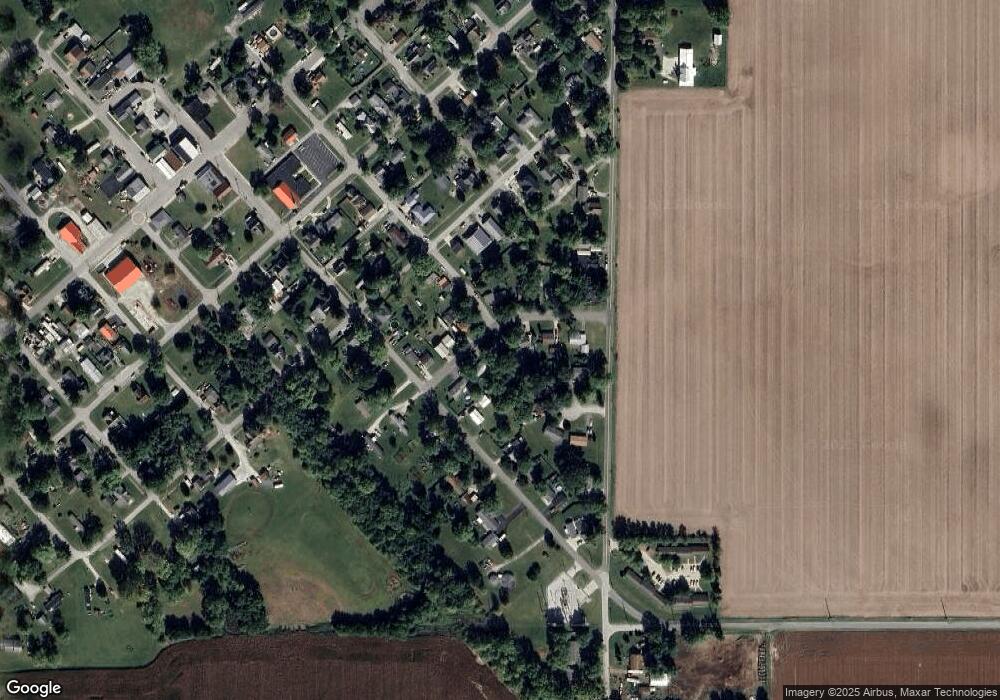
9513 Hudson Dr Clarks Hill, IN 47930
Estimated Value: $143,986 - $170,000
3
Beds
1
Bath
957
Sq Ft
$160/Sq Ft
Est. Value
About This Home
This home is located at 9513 Hudson Dr, Clarks Hill, IN 47930 and is currently estimated at $152,747, approximately $159 per square foot. 9513 Hudson Dr is a home located in Tippecanoe County with nearby schools including James Cole Elementary School, Wainwright Middle School, and McCutcheon High School.
Ownership History
Date
Name
Owned For
Owner Type
Purchase Details
Closed on
Nov 17, 2014
Sold by
Dudley Robert J
Bought by
Alsup Ralph A
Current Estimated Value
Home Financials for this Owner
Home Financials are based on the most recent Mortgage that was taken out on this home.
Original Mortgage
$43,400
Outstanding Balance
$14,741
Interest Rate
3.97%
Mortgage Type
New Conventional
Estimated Equity
$138,006
Create a Home Valuation Report for This Property
The Home Valuation Report is an in-depth analysis detailing your home's value as well as a comparison with similar homes in the area
Home Values in the Area
Average Home Value in this Area
Purchase History
| Date | Buyer | Sale Price | Title Company |
|---|---|---|---|
| Alsup Ralph A | -- | Louis Klatch | |
| Alsup Ralph A | -- | -- |
Source: Public Records
Mortgage History
| Date | Status | Borrower | Loan Amount |
|---|---|---|---|
| Open | Alsup Ralph A | $43,400 | |
| Closed | Alsup Ralph A | $43,400 |
Source: Public Records
Tax History Compared to Growth
Tax History
| Year | Tax Paid | Tax Assessment Tax Assessment Total Assessment is a certain percentage of the fair market value that is determined by local assessors to be the total taxable value of land and additions on the property. | Land | Improvement |
|---|---|---|---|---|
| 2024 | $346 | $69,500 | $18,200 | $51,300 |
| 2023 | $325 | $66,900 | $18,200 | $48,700 |
| 2022 | $257 | $57,300 | $18,200 | $39,100 |
| 2021 | $230 | $51,000 | $18,200 | $32,800 |
| 2020 | $218 | $49,100 | $18,200 | $30,900 |
| 2019 | $217 | $49,600 | $18,200 | $31,400 |
| 2018 | $204 | $48,200 | $18,200 | $30,000 |
| 2017 | $200 | $47,100 | $18,200 | $28,900 |
| 2016 | $202 | $47,900 | $13,200 | $34,700 |
| 2014 | $187 | $46,100 | $13,200 | $32,900 |
| 2013 | $256 | $45,800 | $13,200 | $32,600 |
Source: Public Records
Map
Nearby Homes
- 11818 Madison St
- 9315 High St
- 9305 Main St
- 8900 Cornell Ct
- 9205 Yorktown St
- 7858 E 800 S
- 406 W Linden St
- 304 W Jefferson St
- 404 W Franklin St
- 200 E Park St
- 208 E Midway St
- 504 S Clark St
- 7916 E 700 S
- 4927 E 900 Rd S
- 4875 E 900 Rd S
- 5778 W County Road 300 S
- 4851 E 900 Rd S
- 4801 E 900 Rd S
- 5478 W State Road 28
- 0 S 800 E Unit 202536919
- 9517 Hudson Dr
- 9505 Hudson Dr
- 9521 Hudson Dr
- 9501 Hudson Dr
- 11921 Division St
- 9510 Hudson Dr
- 30 Lauramie Ct
- 9506 Hudson Dr
- 9514 Hudson Dr
- 9525 Hudson Dr
- 9522 Hudson Dr
- 9502 Hudson Dr
- 9518 Hudson Dr
- 11931 Division St
- 11742 S 975 E
- 11742 S Cr 975 E
- 9509 Main St
- 50 Lauramie Ct
- 9517 Main St
- 9521 Main St
