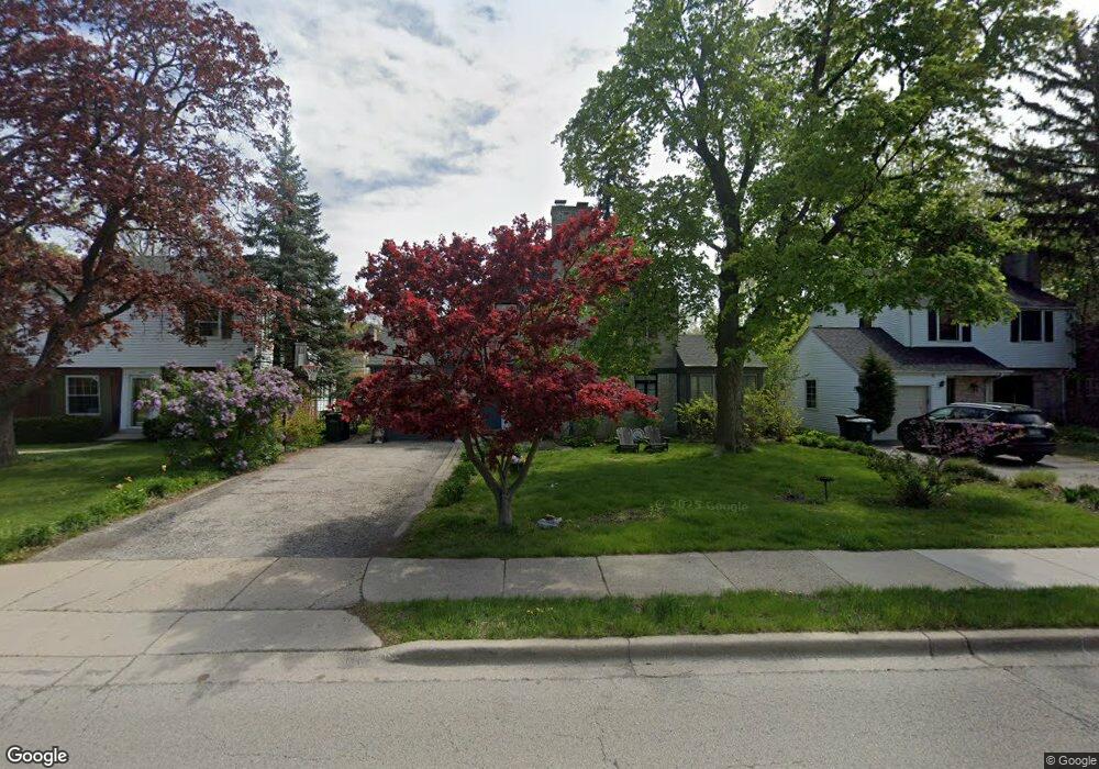
9515 Crawford Ave Evanston, IL 60203
North Skokie NeighborhoodEstimated Value: $549,317 - $633,000
3
Beds
2
Baths
1,742
Sq Ft
$338/Sq Ft
Est. Value
About This Home
This home is located at 9515 Crawford Ave, Evanston, IL 60203 and is currently estimated at $588,329, approximately $337 per square foot. 9515 Crawford Ave is a home located in Cook County with nearby schools including Walker Elementary School, Chute Middle School, and Evanston Township High School.
Ownership History
Date
Name
Owned For
Owner Type
Purchase Details
Closed on
Oct 28, 2005
Sold by
Chojnowski Richard A and Chojnowski Shizuyo
Bought by
Kimmel Stephanie L and Conroy Michael R
Current Estimated Value
Home Financials for this Owner
Home Financials are based on the most recent Mortgage that was taken out on this home.
Original Mortgage
$375,900
Outstanding Balance
$207,094
Interest Rate
6.13%
Mortgage Type
Fannie Mae Freddie Mac
Estimated Equity
$381,235
Create a Home Valuation Report for This Property
The Home Valuation Report is an in-depth analysis detailing your home's value as well as a comparison with similar homes in the area
Home Values in the Area
Average Home Value in this Area
Purchase History
| Date | Buyer | Sale Price | Title Company |
|---|---|---|---|
| Kimmel Stephanie L | $470,000 | Atg Search |
Source: Public Records
Mortgage History
| Date | Status | Borrower | Loan Amount |
|---|---|---|---|
| Open | Kimmel Stephanie L | $375,900 |
Source: Public Records
Tax History Compared to Growth
Tax History
| Year | Tax Paid | Tax Assessment Tax Assessment Total Assessment is a certain percentage of the fair market value that is determined by local assessors to be the total taxable value of land and additions on the property. | Land | Improvement |
|---|---|---|---|---|
| 2024 | $1,989 | $8,859 | $3,499 | $5,360 |
| 2023 | $1,906 | $8,859 | $3,499 | $5,360 |
| 2022 | $1,906 | $8,859 | $3,499 | $5,360 |
| 2021 | $1,944 | $7,953 | $3,228 | $4,725 |
| 2020 | $1,922 | $7,953 | $3,228 | $4,725 |
| 2019 | $1,849 | $8,536 | $3,228 | $5,308 |
| 2018 | $2,071 | $8,170 | $2,767 | $5,403 |
| 2017 | $2,125 | $8,544 | $2,767 | $5,777 |
| 2016 | $2,173 | $9,047 | $2,767 | $6,280 |
| 2015 | $1,893 | $7,543 | $2,383 | $5,160 |
| 2014 | $1,875 | $7,543 | $2,383 | $5,160 |
| 2013 | $1,917 | $7,798 | $2,383 | $5,415 |
Source: Public Records
Map
Nearby Homes
- 2633 Crawford Ave
- 9628 Keystone Ave
- 9555 Kildare Ave
- 9833 Keystone Ave
- 9333 Kildare Ave
- 9349 N Lowell Ave
- 9101 Sleeping Bear Rd
- 9246 Kildare Ave
- 4354 Lyons St
- 2501 Crawford Ave
- 2221 Lincolnwood Dr
- 2113 Forestview Rd
- 2555 Gross Point Rd Unit 112
- 2518 Ridgeway Ave
- 3500 Church St Unit 204
- 2951 Colfax St
- 9010 Keeler Ave
- 3233 Central St
- 9445 Kenton Ave Unit P30
- 9445 Kenton Ave Unit P14
- 9515 Crawford Ave
- 9519 Crawford Ave
- 9509 Crawford Ave
- 9509 Crawford Ave
- 3950 Foster St
- 3950 Foster St
- 9525 Crawford Ave
- 9516 Harding Ave
- 9516 Harding Ave
- 9510 Harding Ave
- 9526 Harding Ave
- 9526 Harding Ave
- 9531 Crawford Ave
- 3940 Foster St
- 3940 Foster St
- 9530 Harding Ave
- 9510 Crawford Ave
- 9518 Crawford Ave
- 9506 Crawford Ave
- 9537 Crawford Ave