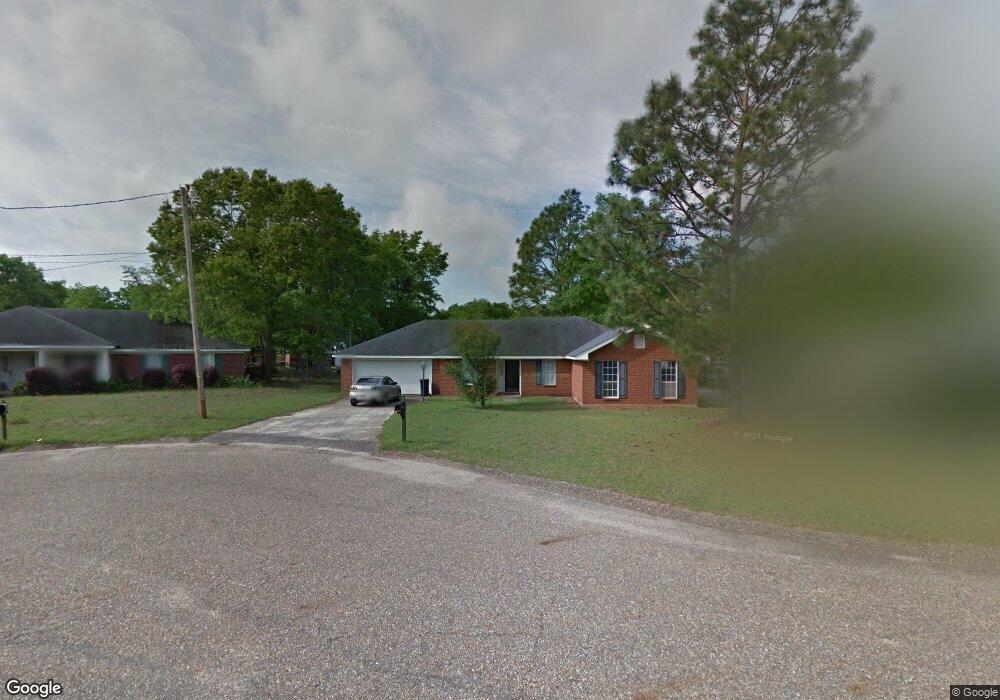
9515 Gaslight Ct Mobile, AL 36695
Baker NeighborhoodEstimated Value: $213,000 - $228,000
3
Beds
2
Baths
1,693
Sq Ft
$129/Sq Ft
Est. Value
About This Home
This home is located at 9515 Gaslight Ct, Mobile, AL 36695 and is currently estimated at $218,300, approximately $128 per square foot. 9515 Gaslight Ct is a home located in Mobile County with nearby schools including Elsie Collier Elementary School, Bernice J Causey Middle School, and Baker High School.
Ownership History
Date
Name
Owned For
Owner Type
Purchase Details
Closed on
Sep 30, 2024
Sold by
Kelso Lina K
Bought by
Abigail Blonnie
Current Estimated Value
Home Financials for this Owner
Home Financials are based on the most recent Mortgage that was taken out on this home.
Original Mortgage
$187,210
Outstanding Balance
$185,242
Interest Rate
6.35%
Mortgage Type
New Conventional
Estimated Equity
$33,058
Purchase Details
Closed on
Jun 21, 2005
Sold by
Kelso Michael D
Bought by
Kelso Lina K
Home Financials for this Owner
Home Financials are based on the most recent Mortgage that was taken out on this home.
Original Mortgage
$100,800
Interest Rate
5.46%
Mortgage Type
Fannie Mae Freddie Mac
Create a Home Valuation Report for This Property
The Home Valuation Report is an in-depth analysis detailing your home's value as well as a comparison with similar homes in the area
Home Values in the Area
Average Home Value in this Area
Purchase History
| Date | Buyer | Sale Price | Title Company |
|---|---|---|---|
| Abigail Blonnie | $193,000 | None Listed On Document | |
| Kelso Lina K | $163,800 | -- |
Source: Public Records
Mortgage History
| Date | Status | Borrower | Loan Amount |
|---|---|---|---|
| Open | Abigail Blonnie | $187,210 | |
| Closed | Abigail Blonnie | $7,720 | |
| Previous Owner | Kelso Lina K | $100,800 |
Source: Public Records
Tax History Compared to Growth
Tax History
| Year | Tax Paid | Tax Assessment Tax Assessment Total Assessment is a certain percentage of the fair market value that is determined by local assessors to be the total taxable value of land and additions on the property. | Land | Improvement |
|---|---|---|---|---|
| 2024 | $956 | $17,290 | $4,000 | $13,290 |
| 2023 | $795 | $16,310 | $4,000 | $12,310 |
| 2022 | $632 | $14,420 | $4,000 | $10,420 |
| 2021 | $623 | $14,210 | $4,000 | $10,210 |
| 2020 | $629 | $14,350 | $4,000 | $10,350 |
| 2019 | $623 | $14,220 | $4,000 | $10,220 |
| 2018 | $629 | $14,360 | $0 | $0 |
| 2017 | $708 | $14,540 | $0 | $0 |
| 2016 | $613 | $14,020 | $0 | $0 |
| 2013 | $679 | $14,520 | $0 | $0 |
Source: Public Records
Map
Nearby Homes
- 0 New Neck Rd Unit 387066
- 9425 Yorktowne Way
- 9410 Ashwood Ct
- 9556 Bridgeton Ct
- 1111 Valley View Ct
- 860 Trailwood Dr E
- 821 Copperfield Dr W
- 9751 Pine Knoll Rd
- 11900 Airport Blvd
- 790 Hale Rd
- 0 Twelve Oaks Dr Unit 7603591
- 791 Copperfield Dr W
- 789 Royal Woods Dr W Unit 7
- 781 Copperfield Dr W
- 11905 Airport Blvd
- 11905 Airport Blvd Unit 3
- 1235 Wakefield Dr E
- 750 Hale Rd
- 10061 Sasser Ln
- 9721 Royal Woods Dr N
- 9525 Gaslight Ct
- 9475 Gaslight Ct
- 1382 Lexington Way
- 1384 Lexington Way
- 9485 Gaslight Ct
- 1380 Lexington Way
- 1315 Smokerise Dr
- 1339 Smokerise Dr
- 9500 Gaslight Ct
- 1370 Lexington Way
- 9490 Gaslight Ct
- 1349 Smokerise Dr
- 1360 Lexington Way
- 1295 Smokerise Dr
- 1386 Lexington Way
- 1350 Lexington Way
- 1359 Smokerise Dr
- 1330 Lexington Way
- 9485 Yorktowne Way
- 9475 Yorktowne Way