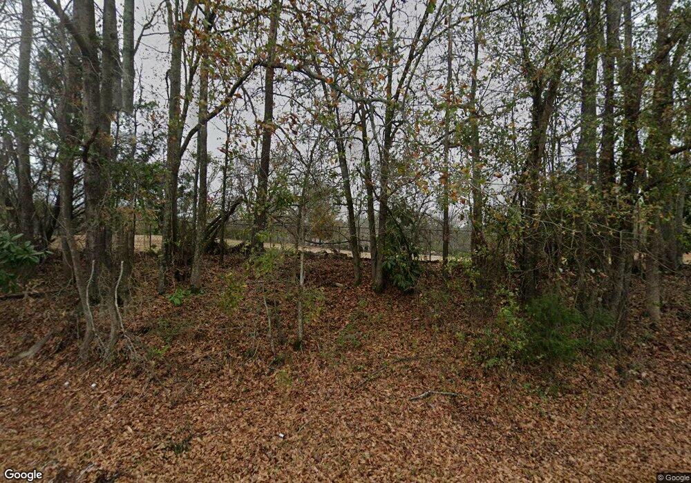
9515 Whitesville Rd Columbus, GA 31904
Northern Columbus NeighborhoodEstimated Value: $453,000 - $561,000
5
Beds
4
Baths
3,683
Sq Ft
$135/Sq Ft
Est. Value
About This Home
This home is located at 9515 Whitesville Rd, Columbus, GA 31904 and is currently estimated at $498,750, approximately $135 per square foot. 9515 Whitesville Rd is a home located in Muscogee County with nearby schools including Double Churches Elementary School, Veterans Memorial Middle School, and Northside High School.
Ownership History
Date
Name
Owned For
Owner Type
Purchase Details
Closed on
Mar 23, 2015
Sold by
Oravic Eileen K
Bought by
Oravic Eileen K and Oravic Jeffrey R
Current Estimated Value
Home Financials for this Owner
Home Financials are based on the most recent Mortgage that was taken out on this home.
Original Mortgage
$294,871
Outstanding Balance
$225,340
Interest Rate
3.62%
Mortgage Type
FHA
Estimated Equity
$273,410
Create a Home Valuation Report for This Property
The Home Valuation Report is an in-depth analysis detailing your home's value as well as a comparison with similar homes in the area
Home Values in the Area
Average Home Value in this Area
Purchase History
| Date | Buyer | Sale Price | Title Company |
|---|---|---|---|
| Oravic Eileen K | -- | -- |
Source: Public Records
Mortgage History
| Date | Status | Borrower | Loan Amount |
|---|---|---|---|
| Open | Oravic Eileen K | $294,871 |
Source: Public Records
Tax History Compared to Growth
Tax History
| Year | Tax Paid | Tax Assessment Tax Assessment Total Assessment is a certain percentage of the fair market value that is determined by local assessors to be the total taxable value of land and additions on the property. | Land | Improvement |
|---|---|---|---|---|
| 2025 | $4,180 | $132,768 | $13,432 | $119,336 |
| 2024 | $4,179 | $132,768 | $13,432 | $119,336 |
| 2023 | $3,511 | $132,768 | $13,432 | $119,336 |
| 2022 | $4,359 | $135,852 | $13,432 | $122,420 |
| 2021 | $4,352 | $124,208 | $13,432 | $110,776 |
| 2020 | $4,353 | $124,208 | $13,432 | $110,776 |
| 2019 | $4,369 | $124,208 | $13,432 | $110,776 |
| 2018 | $4,369 | $124,208 | $13,432 | $110,776 |
| 2017 | $4,384 | $124,208 | $13,432 | $110,776 |
| 2016 | $4,402 | $146,123 | $10,454 | $135,669 |
| 2015 | $4,409 | $146,123 | $10,454 | $135,669 |
| 2014 | $1,766 | $146,123 | $10,454 | $135,669 |
| 2013 | -- | $146,123 | $10,454 | $135,669 |
Source: Public Records
Map
Nearby Homes
- 706 Moore Rd
- 609 Moore Rd
- Belmont Plan at Heiferhorn Farms
- Cypress Plan at Heiferhorn Farms
- Harrison Plan at Heiferhorn Farms
- Oakwood Plan at Heiferhorn Farms
- Maple Plan at Heiferhorn Farms
- Spruce Plan at Heiferhorn Farms
- Aspen Plan at Heiferhorn Farms
- Jackson Plan at Heiferhorn Farms
- Alder Plan at Heiferhorn Farms
- Ash II Plan at Heiferhorn Farms
- Camden Plan at Heiferhorn Farms
- Cannaberra Plan at Heiferhorn Farms
- 8935 A N Moore Rd
- 4015 Holstein Hill
- 4023 Holstein Hill Unit 180
- 4023 Holstein Hill
- 4102 Holstein Hill
- 4094 Holstein Hill
- 9521 Whitesville Rd
- 9437 Whitesville Rd
- 9537 Whitesville Rd
- 9409 Whitesville Rd
- 9520 Whitesville Rd
- 1838 Biggers Rd
- 9526 Whitesville Rd
- 9520 Chickasaw Ct
- 9530 Whitesville Rd
- 9448 Whitesville Rd
- 9538 Whitesville Rd
- 919 Arapaho Ct
- 9510 Chickasaw Ct
- 1836 Biggers Rd
- 915 Arapaho Ct
- 925 Arapaho Ct
- 9500 Chickasaw Ct
- 1839 Biggers Rd
- 1816 Biggers Rd
- 909 Arapaho Ct
