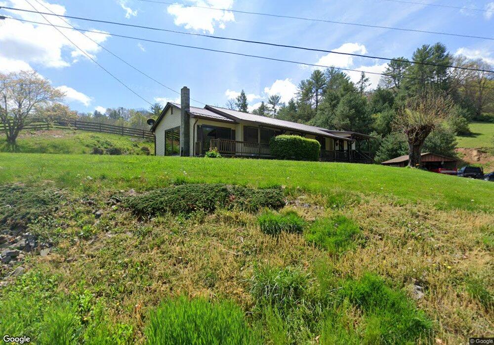
952 Banks Creek Rd Burnsville, NC 28714
Estimated Value: $256,683 - $335,000
3
Beds
1
Bath
1,056
Sq Ft
$288/Sq Ft
Est. Value
About This Home
This home is located at 952 Banks Creek Rd, Burnsville, NC 28714 and is currently estimated at $303,671, approximately $287 per square foot. 952 Banks Creek Rd is a home located in Yancey County with nearby schools including Mountain Heritage High School.
Ownership History
Date
Name
Owned For
Owner Type
Purchase Details
Closed on
Aug 17, 2023
Sold by
Loudon Patrick D and Loudon Linda J
Bought by
Weber Paul and Weber Megan
Current Estimated Value
Purchase Details
Closed on
Jun 29, 2006
Sold by
Penland Roger K and Penland Linda F
Bought by
Sinclair Joseph William and Sinclair Karen Elaine
Home Financials for this Owner
Home Financials are based on the most recent Mortgage that was taken out on this home.
Original Mortgage
$150,143
Interest Rate
6.6%
Mortgage Type
FHA
Create a Home Valuation Report for This Property
The Home Valuation Report is an in-depth analysis detailing your home's value as well as a comparison with similar homes in the area
Home Values in the Area
Average Home Value in this Area
Purchase History
| Date | Buyer | Sale Price | Title Company |
|---|---|---|---|
| Weber Paul | $338,000 | None Listed On Document | |
| Sinclair Joseph William | $152,500 | None Available |
Source: Public Records
Mortgage History
| Date | Status | Borrower | Loan Amount |
|---|---|---|---|
| Previous Owner | Sinclair Joseph William | $150,143 |
Source: Public Records
Tax History Compared to Growth
Tax History
| Year | Tax Paid | Tax Assessment Tax Assessment Total Assessment is a certain percentage of the fair market value that is determined by local assessors to be the total taxable value of land and additions on the property. | Land | Improvement |
|---|---|---|---|---|
| 2025 | $1,109 | $198,000 | $50,300 | $147,700 |
| 2024 | $1,109 | $198,000 | $50,300 | $147,700 |
| 2023 | $1,023 | $159,780 | $23,400 | $136,380 |
| 2022 | $1,002 | $159,780 | $23,400 | $136,380 |
| 2021 | $1,023 | $159,780 | $23,400 | $136,380 |
| 2020 | $1,023 | $159,780 | $23,400 | $136,380 |
| 2019 | $1,023 | $159,780 | $23,400 | $136,380 |
| 2018 | $1,023 | $159,780 | $23,400 | $136,380 |
| 2017 | $1,023 | $159,780 | $23,400 | $136,380 |
| 2016 | $1,023 | $159,780 | $23,400 | $136,380 |
| 2015 | $857 | $158,620 | $28,000 | $130,620 |
| 2014 | $857 | $158,620 | $28,000 | $130,620 |
Source: Public Records
Map
Nearby Homes
- 71 Banks Creek Rd
- TBD Banks Creek Rd
- 00 Prices Creek Rd
- 300 Dogwood Ln
- 000 Mountain Air Dr
- 124 W Dogwood Cir
- 456 Maney Branch Rd
- 000 Maney Branch Rd
- 456 & 000 Maney Branch Rd
- 124 Shootout Ln
- LOT 13 Austin Mountain Dr Unit 13/3
- 456 Spring House Dr
- 222 Creekside Way Unit D-101
- 222 Creekside Way Unit D-102
- 47 Creekside Way Unit H/102
- 47 Creekside Way Unit H/301
- 00 Riverside Hills Rd Unit 9
- Lot 53 Mountain Air Dr Unit 53/1
- 324 Austin Mountain Dr
- 296 Austin Mountain Dr
- 925 Banks Creek Rd
- 73 Will Anglin Rd
- 1064 Banks Creek Rd
- 1014 Banks Creek Rd
- 771 Banks Creek Rd
- 1178 Banks Creek Rd
- 115 Tranquility Dr
- 728 Banks Creek Rd
- 340 Tranquility Dr
- 174 Will Anglin Rd
- 00 Will Anglin Rd
- 381 Will Anglin Rd
- 45 Bitterroot Dr
- 235 Daddy Bobs Dr
- 11 Truckers Ln
- 1784 Phipps Creek Rd
- 41 Mystic Dr
- 531 Banks Creek Rd
- 1537 Banks Creek Rd
- 27 Cottonwood Rd