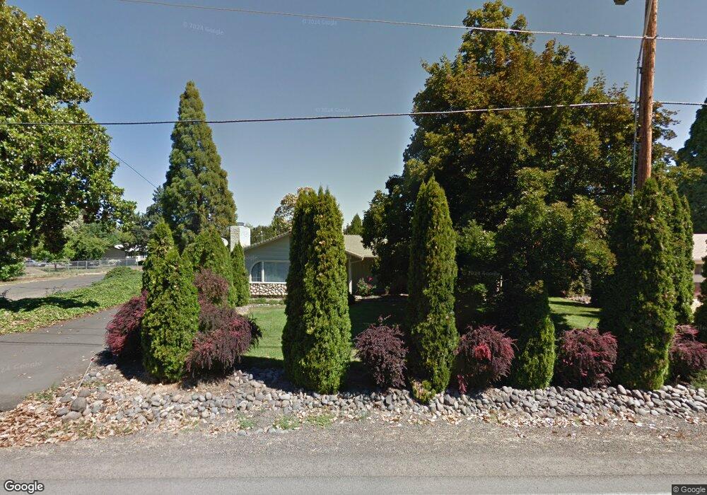
952 Beall Ln Central Point, OR 97502
Estimated Value: $348,475 - $404,000
3
Beds
2
Baths
1,388
Sq Ft
$270/Sq Ft
Est. Value
About This Home
This home is located at 952 Beall Ln, Central Point, OR 97502 and is currently estimated at $374,619, approximately $269 per square foot. 952 Beall Ln is a home located in Jackson County with nearby schools including Central Point Elementary School, Scenic Middle School, and Crater High School.
Ownership History
Date
Name
Owned For
Owner Type
Purchase Details
Closed on
Feb 19, 2020
Sold by
Wicks Kenneth Wayne and Wicks Karin K
Bought by
Wicks Kenneth Wayne and Wicks Karin Kay
Current Estimated Value
Purchase Details
Closed on
Jun 21, 2007
Sold by
Marvin Donald L and Wicks Karin K
Bought by
Wicks Karin K and Wicks Kenneth Wayne
Purchase Details
Closed on
Jun 1, 2006
Sold by
Marvin Kenneth L
Bought by
Marvin Joan L
Purchase Details
Closed on
May 26, 2006
Sold by
Marvin Joan L
Bought by
Marvin Joan L and The Joan L Marvin Trust
Create a Home Valuation Report for This Property
The Home Valuation Report is an in-depth analysis detailing your home's value as well as a comparison with similar homes in the area
Purchase History
| Date | Buyer | Sale Price | Title Company |
|---|---|---|---|
| Wicks Kenneth Wayne | -- | None Available | |
| Wicks Karin K | $105,000 | Lawyers Title Ins | |
| Marvin Joan L | -- | None Available | |
| Marvin Joan L | -- | None Available |
Source: Public Records
Tax History
| Year | Tax Paid | Tax Assessment Tax Assessment Total Assessment is a certain percentage of the fair market value that is determined by local assessors to be the total taxable value of land and additions on the property. | Land | Improvement |
|---|---|---|---|---|
| 2026 | $2,698 | $220,970 | -- | -- |
| 2025 | $2,636 | $214,540 | $88,490 | $126,050 |
| 2024 | $2,636 | $208,300 | $85,910 | $122,390 |
| 2023 | $2,548 | $202,240 | $83,410 | $118,830 |
| 2022 | $2,494 | $202,240 | $83,410 | $118,830 |
| 2021 | $2,423 | $196,350 | $80,980 | $115,370 |
| 2020 | $2,353 | $190,640 | $78,630 | $112,010 |
| 2019 | $2,298 | $179,700 | $74,100 | $105,600 |
| 2018 | $2,227 | $174,470 | $71,940 | $102,530 |
| 2017 | $2,174 | $174,470 | $71,940 | $102,530 |
| 2016 | $2,111 | $164,460 | $67,820 | $96,640 |
| 2015 | $2,013 | $164,460 | $67,820 | $96,640 |
| 2014 | $1,899 | $153,210 | $49,140 | $104,070 |
Source: Public Records
Map
Nearby Homes
- 3358 Bursell Rd
- 1065 Edwina Ave
- 3364 Bursell Rd
- 3600 N Pacific Hwy
- 14 Scholarship Way
- 887 Silver Fox Dr
- 959 Westrop Dr
- 736 Hemlock Ave
- 659 Herman Ave
- 1258 Joshua Ct
- 739 S Haskell St
- 921 Pittview Ave
- 851 Juanita Way
- 755 S 4th St
- 831 Isherwood Dr
- 827 Isherwood Dr
- 2717 Elliott Ave
- 2727 Connell Ave
- 2841 Howard Ave
- 918 Brandi Way