952 High Point Dr Breckenridge, CO 80424
Estimated Value: $1,496,800 - $1,908,000
3
Beds
2
Baths
1,606
Sq Ft
$1,104/Sq Ft
Est. Value
About This Home
This home is located at 952 High Point Dr, Breckenridge, CO 80424 and is currently estimated at $1,773,700, approximately $1,104 per square foot. 952 High Point Dr is a home with nearby schools including Breckenridge Elementary School, Summit Middle School, and Summit High School.
Ownership History
Date
Name
Owned For
Owner Type
Purchase Details
Closed on
Dec 18, 2017
Sold by
Perez Cruet Miguelangelo and Roggenbuck Donna
Bought by
Timberlake Breckenridge Llc
Current Estimated Value
Purchase Details
Closed on
Sep 30, 2011
Sold by
Lessow Marty
Bought by
Perez Cruet Miguelangelo and Roggenbuck Donna
Home Financials for this Owner
Home Financials are based on the most recent Mortgage that was taken out on this home.
Original Mortgage
$417,000
Interest Rate
4.24%
Mortgage Type
New Conventional
Create a Home Valuation Report for This Property
The Home Valuation Report is an in-depth analysis detailing your home's value as well as a comparison with similar homes in the area
Home Values in the Area
Average Home Value in this Area
Purchase History
| Date | Buyer | Sale Price | Title Company |
|---|---|---|---|
| Timberlake Breckenridge Llc | -- | None Available | |
| Perez Cruet Miguelangelo | $618,000 | Land Title Guarantee Company |
Source: Public Records
Mortgage History
| Date | Status | Borrower | Loan Amount |
|---|---|---|---|
| Previous Owner | Perez Cruet Miguelangelo | $417,000 |
Source: Public Records
Tax History Compared to Growth
Tax History
| Year | Tax Paid | Tax Assessment Tax Assessment Total Assessment is a certain percentage of the fair market value that is determined by local assessors to be the total taxable value of land and additions on the property. | Land | Improvement |
|---|---|---|---|---|
| 2024 | $5,498 | $115,448 | -- | -- |
| 2023 | $5,498 | $111,763 | $0 | $0 |
| 2022 | $3,781 | $71,939 | $0 | $0 |
| 2021 | $3,851 | $74,010 | $0 | $0 |
| 2020 | $3,724 | $70,977 | $0 | $0 |
| 2019 | $3,671 | $70,977 | $0 | $0 |
| 2018 | $3,608 | $67,583 | $0 | $0 |
| 2017 | $3,300 | $67,583 | $0 | $0 |
| 2016 | $2,456 | $49,530 | $0 | $0 |
| 2015 | $2,377 | $49,530 | $0 | $0 |
| 2014 | $2,477 | $50,924 | $0 | $0 |
| 2013 | -- | $50,924 | $0 | $0 |
Source: Public Records
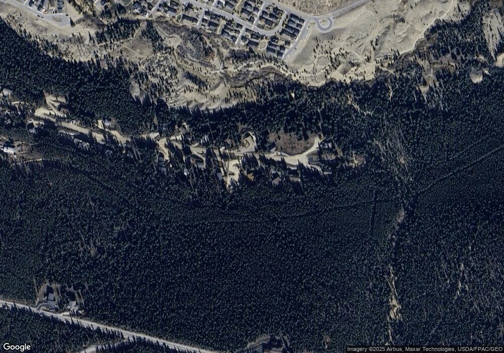
Map
Nearby Homes
- 861 High Point Dr
- 285 Green Jay Ln
- 378 Juniata Cir
- 250 Sallie Barber Rd
- 57 Apex Cir
- 115 Sallie Barber Rd
- 86 Grey Jay Ln
- 38 Huckleberry Green
- 14 Dunkin Dr
- 0190 Berlin Placer Rd
- 158 Stallion Loop Unit 37
- 175 Stallion Loop Unit 42
- 0260 Fuller Placer Rd
- 137 Stallion Loop Unit 34
- 147 Stallion Loop Unit 36
- 145 Stallion Loop Unit 35
- 180 Stallion Loop Unit 43
- 290 N Fuller Placer Rd
- 160 N Fuller Placer Rd
- 105 Stallion Loop Unit 25
- 982 High Point Dr
- 971 High Point Dr
- 941 High Point Dr
- 912 High Point Dr
- 921 High Point Dr
- 1002 High Point Dr
- 892 High Point Dr
- 891 High Point Dr
- 872 High Point Dr
- 1012 High Point Dr
- 1091 High Point Dr
- 1011 High Point Dr
- 852 High Point Dr
- 841 High Point Dr
- 812 High Point Dr
- 23 Paradise Green
- 21 Paradise Green
- 14 Paradise Green
- 11 Walker Green Ct
- 19 Paradise Green