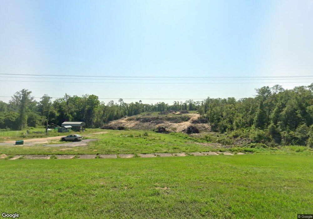
952 Highway 231 Alford, FL 32420
Estimated Value: $68,000
34
Beds
1
Bath
1,040
Sq Ft
$65/Sq Ft
Est. Value
About This Home
This home is located at 952 Highway 231, Alford, FL 32420 and is currently estimated at $68,000, approximately $65 per square foot. 952 Highway 231 is a home located in Jackson County.
Ownership History
Date
Name
Owned For
Owner Type
Purchase Details
Closed on
Oct 28, 2020
Sold by
Mcmullon Betty Dubbs and Dubbs Betty L
Bought by
Henderson William and Henderson Serena
Current Estimated Value
Purchase Details
Closed on
Feb 19, 2018
Sold by
An Vatana and Chan Boravy
Bought by
Dubbs Betty L
Purchase Details
Closed on
Apr 6, 2017
Sold by
U S Bank N A
Bought by
An Vatana and Chan Boravy
Purchase Details
Closed on
Apr 1, 2017
Bought by
An Vantana and Boravy Chan
Purchase Details
Closed on
Jul 13, 2016
Sold by
Padilla Ruth
Bought by
Us Bank National Association
Purchase Details
Closed on
Jul 1, 2016
Bought by
An Vantana and Boravy Chan
Create a Home Valuation Report for This Property
The Home Valuation Report is an in-depth analysis detailing your home's value as well as a comparison with similar homes in the area
Home Values in the Area
Average Home Value in this Area
Purchase History
| Date | Buyer | Sale Price | Title Company |
|---|---|---|---|
| Henderson William | $23,000 | South Oak Title | |
| Dubbs Betty L | $18,000 | Oceanside Title Inc | |
| An Vatana | $11,750 | Attorney | |
| An Vatana | $11,750 | Attorney | |
| An Vantana | $11,800 | -- | |
| Us Bank National Association | -- | None Available | |
| An Vantana | $100 | -- |
Source: Public Records
Tax History Compared to Growth
Tax History
| Year | Tax Paid | Tax Assessment Tax Assessment Total Assessment is a certain percentage of the fair market value that is determined by local assessors to be the total taxable value of land and additions on the property. | Land | Improvement |
|---|---|---|---|---|
| 2024 | $352 | $26,952 | $25,000 | $1,952 |
| 2023 | $327 | $26,952 | $25,000 | $1,952 |
| 2022 | $280 | $24,452 | $22,500 | $1,952 |
| 2021 | $250 | $19,452 | $17,500 | $1,952 |
| 2020 | $268 | $20,400 | $17,500 | $2,900 |
| 2019 | $282 | $20,400 | $17,500 | $2,900 |
| 2018 | $282 | $20,400 | $17,500 | $2,900 |
| 2017 | $388 | $28,011 | $17,500 | $10,511 |
| 2016 | $380 | $27,954 | $17,500 | $10,454 |
| 2015 | $433 | $30,997 | $22,500 | $8,497 |
| 2014 | $434 | $30,806 | $22,500 | $8,306 |
Source: Public Records
Map
Nearby Homes
- 952 Highway 231
- 0 Sorrento Ave Unit 24333907
- 0 Momence Ct
- 0 Breese Ct Unit Lot 29
- 1065 Highlands Cir
- 1102 Highlands Cir
- 0 Hocking St Unit R10989320
- 0 Hocking St
- 00 Powder Cir
- 0 Castle Cr Cir Unit 776461
- 0 Fargo Dr Unit Lot 14 767943
- 855 Fairborn Ave
- 0 Xx Pike Pond Rd Unit LotWP001
- Lot 13 Noble Cir
- x Pike Pond Rd
- Xx Rincon Unit LotWP001
- 2192 Pike Pond Rd
- L35 B239 Olivia Dr Unit 6
- 0 Genesso Ave
- 2424 White Pond Church Rd
- 956 Sorrento Ave
- 0 Sherry Cir Unit 715393
- Lot 14 Sorrento Ave
- Lot 15 Sorrento Ave
- 00 Sorrento Ave
- 0 Sorrento Ave Unit 742164
- 0 Sorrento Ave Unit 728136
- 0 Sorrento Ave Unit 672978
- 0 Sorrento Ave Unit 641911
- 955 Sorrento Ave
- 1000 U S 231
- 2433 Sherry Cir
- 908 Lakepoint Rd
- 2366 Pike Pond Rd
- 2448 Sherry Cir
- 902 Lakepoint Rd
- LOT 10 Lot 10 Sorrento Ave
- TBD Tbd Sorrento Ave
- LOT 48 Lot 48 Highlands Cir
- 0 Tbd Highway 231
