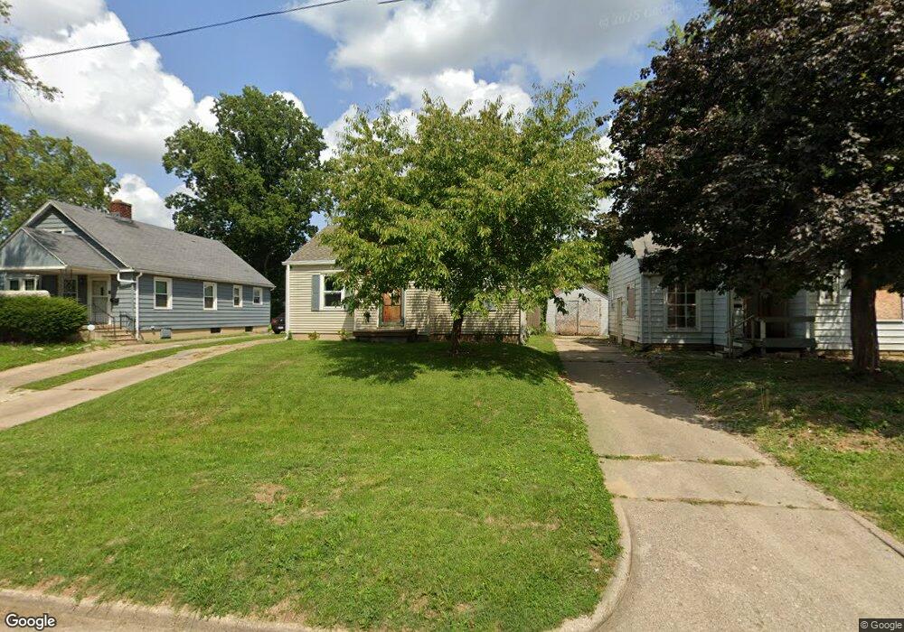
952 N University Ave Decatur, IL 62522
Garfield Park NeighborhoodEstimated Value: $43,957 - $57,000
3
Beds
1
Bath
1,372
Sq Ft
$39/Sq Ft
Est. Value
About This Home
This home is located at 952 N University Ave, Decatur, IL 62522 and is currently estimated at $53,489, approximately $38 per square foot. 952 N University Ave is a home located in Macon County with nearby schools including Stephen Decatur Middle School, St. Patrick School, and Teen Challenge-Home For Girls.
Ownership History
Date
Name
Owned For
Owner Type
Purchase Details
Closed on
Mar 26, 2008
Sold by
Peters Aaron M and Israel Amanda K
Bought by
Schilawski Kyle
Current Estimated Value
Home Financials for this Owner
Home Financials are based on the most recent Mortgage that was taken out on this home.
Original Mortgage
$57,449
Outstanding Balance
$36,049
Interest Rate
5.79%
Mortgage Type
FHA
Estimated Equity
$17,440
Purchase Details
Closed on
Feb 1, 2000
Create a Home Valuation Report for This Property
The Home Valuation Report is an in-depth analysis detailing your home's value as well as a comparison with similar homes in the area
Home Values in the Area
Average Home Value in this Area
Purchase History
| Date | Buyer | Sale Price | Title Company |
|---|---|---|---|
| Schilawski Kyle | $58,000 | None Available | |
| -- | $33,000 | -- |
Source: Public Records
Mortgage History
| Date | Status | Borrower | Loan Amount |
|---|---|---|---|
| Open | Schilawski Kyle | $57,449 |
Source: Public Records
Tax History Compared to Growth
Tax History
| Year | Tax Paid | Tax Assessment Tax Assessment Total Assessment is a certain percentage of the fair market value that is determined by local assessors to be the total taxable value of land and additions on the property. | Land | Improvement |
|---|---|---|---|---|
| 2024 | $801 | $14,274 | $436 | $13,838 |
| 2023 | $773 | $13,769 | $421 | $13,348 |
| 2022 | $677 | $12,619 | $389 | $12,230 |
| 2021 | $672 | $11,785 | $364 | $11,421 |
| 2020 | $694 | $11,239 | $348 | $10,891 |
| 2019 | $694 | $11,239 | $348 | $10,891 |
| 2018 | $686 | $12,382 | $241 | $12,141 |
| 2017 | $703 | $12,712 | $247 | $12,465 |
| 2016 | $723 | $12,842 | $250 | $12,592 |
| 2015 | $676 | $12,615 | $246 | $12,369 |
| 2014 | $809 | $14,439 | $1,357 | $13,082 |
| 2013 | $857 | $14,981 | $1,408 | $13,573 |
Source: Public Records
Map
Nearby Homes
- 917 N Wilder Ave
- 1065 W Green St
- 1451 W Marietta St
- 1319 W Waggoner St
- 837 W Grand Ave
- 958 W William St
- 266 Cobb Ave
- 1645 W Center St
- 1535 N Mcclellan Ave
- 1530 W Cushing St
- 1675 W Center St
- 1415 N Dennis Ave
- 875 N Monroe St
- 933 W Division St
- 1005 W Main St
- 254 N Pine St
- 925 W Olive St
- 899 W Main St
- 415 W Green St
- 609 W William St
- 946 N University Ave
- 956 N University Ave
- 932 N University Ave
- 964 N University Ave
- 924 N University Ave
- 974 N University Ave
- 947 N Hill Ave
- 965 N University Ave
- 939 N Hill Ave
- 953 N Hill Ave
- 980 N University Ave
- 961 N University Ave
- 931 N Hill Ave
- 955 N University Ave
- 961 N Hill Ave
- 945 N University Ave
- 923 N Hill Ave
- 1180 W King St
- 1174 W King St
- 1190 W King St