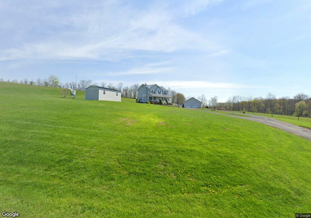
9520 Oneil Rd Port Byron, NY 13140
Estimated Value: $268,000 - $304,000
3
Beds
3
Baths
2,080
Sq Ft
$138/Sq Ft
Est. Value
About This Home
This home is located at 9520 Oneil Rd, Port Byron, NY 13140 and is currently estimated at $286,767, approximately $137 per square foot. 9520 Oneil Rd is a home located in Cayuga County with nearby schools including A.A. Gates Elementary School, Port Byron Senior High School, and Conquest Parochial School.
Ownership History
Date
Name
Owned For
Owner Type
Purchase Details
Closed on
May 1, 2020
Sold by
Burke Andrew and Burke Melissa
Bought by
Burke Andrew
Current Estimated Value
Home Financials for this Owner
Home Financials are based on the most recent Mortgage that was taken out on this home.
Original Mortgage
$169,600
Interest Rate
3.3%
Mortgage Type
New Conventional
Purchase Details
Closed on
Oct 11, 2001
Sold by
Burke Andrew
Bought by
Burke Andrew C
Create a Home Valuation Report for This Property
The Home Valuation Report is an in-depth analysis detailing your home's value as well as a comparison with similar homes in the area
Home Values in the Area
Average Home Value in this Area
Purchase History
| Date | Buyer | Sale Price | Title Company |
|---|---|---|---|
| Burke Andrew | -- | None Available | |
| Burke Andrew C | -- | David A Contiguglia |
Source: Public Records
Mortgage History
| Date | Status | Borrower | Loan Amount |
|---|---|---|---|
| Previous Owner | Burke Andrew | $169,600 |
Source: Public Records
Tax History Compared to Growth
Tax History
| Year | Tax Paid | Tax Assessment Tax Assessment Total Assessment is a certain percentage of the fair market value that is determined by local assessors to be the total taxable value of land and additions on the property. | Land | Improvement |
|---|---|---|---|---|
| 2024 | $4,380 | $161,500 | $20,700 | $140,800 |
| 2023 | $4,653 | $161,500 | $20,700 | $140,800 |
| 2022 | $4,436 | $161,500 | $20,700 | $140,800 |
| 2021 | $4,490 | $161,500 | $20,700 | $140,800 |
| 2020 | $4,746 | $168,100 | $15,800 | $152,300 |
| 2019 | $1,825 | $168,100 | $15,800 | $152,300 |
| 2018 | $4,607 | $168,100 | $15,800 | $152,300 |
| 2017 | $4,601 | $168,100 | $15,800 | $152,300 |
| 2016 | $4,571 | $168,100 | $15,800 | $152,300 |
| 2015 | -- | $151,500 | $15,900 | $135,600 |
| 2014 | -- | $151,500 | $15,900 | $135,600 |
Source: Public Records
Map
Nearby Homes
- 1261 Stickles Ln
- 1218 Hard Point Rd
- 179 Main St
- 5 Canal St
- 5 First Hill St
- 2653 Washington St
- 2336 Turner Rd
- 2732 Green St
- 8914 Jackson St
- 2757 Green St
- 2756 Green St
- 8299 State Street Rd
- 2809 Sharon St
- 00 Hickory Island
- 2808 Sharon St
- 10846 Baker Rd
- 2919 E Brutus Street Rd
- 10896 Baker Rd
- 2917 Ryan Rd
- 8048 Lasher Rd