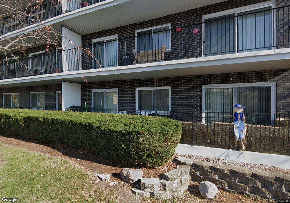
9529 Bronx Ave Unit 406 Skokie, IL 60077
North Skokie NeighborhoodEstimated Value: $215,000 - $292,000
1
Bed
--
Bath
114,880
Sq Ft
$2/Sq Ft
Est. Value
About This Home
This home is located at 9529 Bronx Ave Unit 406, Skokie, IL 60077 and is currently estimated at $247,128, approximately $2 per square foot. 9529 Bronx Ave Unit 406 is a home located in Cook County with nearby schools including Old Orchard Jr High School, Jane Stenson School, and Niles North High School.
Ownership History
Date
Name
Owned For
Owner Type
Purchase Details
Closed on
Aug 22, 2003
Sold by
Trzaska Marek
Bought by
Kouris Katherine
Current Estimated Value
Home Financials for this Owner
Home Financials are based on the most recent Mortgage that was taken out on this home.
Original Mortgage
$167,400
Outstanding Balance
$71,835
Interest Rate
5.27%
Mortgage Type
Unknown
Estimated Equity
$175,293
Purchase Details
Closed on
Apr 24, 2001
Sold by
Lasalle Bank National Assn
Bought by
Trzaska Marek
Home Financials for this Owner
Home Financials are based on the most recent Mortgage that was taken out on this home.
Original Mortgage
$131,400
Interest Rate
7.02%
Create a Home Valuation Report for This Property
The Home Valuation Report is an in-depth analysis detailing your home's value as well as a comparison with similar homes in the area
Home Values in the Area
Average Home Value in this Area
Purchase History
| Date | Buyer | Sale Price | Title Company |
|---|---|---|---|
| Kouris Katherine | $186,000 | Stewart Title Guaranty Compa | |
| Trzaska Marek | $146,000 | -- |
Source: Public Records
Mortgage History
| Date | Status | Borrower | Loan Amount |
|---|---|---|---|
| Open | Kouris Katherine | $167,400 | |
| Previous Owner | Trzaska Marek | $131,400 |
Source: Public Records
Tax History Compared to Growth
Tax History
| Year | Tax Paid | Tax Assessment Tax Assessment Total Assessment is a certain percentage of the fair market value that is determined by local assessors to be the total taxable value of land and additions on the property. | Land | Improvement |
|---|---|---|---|---|
| 2024 | $3,910 | $15,652 | $589 | $15,063 |
| 2023 | $3,806 | $15,652 | $589 | $15,063 |
| 2022 | $3,806 | $15,652 | $589 | $15,063 |
| 2021 | $3,337 | $12,194 | $441 | $11,753 |
| 2020 | $3,304 | $12,194 | $441 | $11,753 |
| 2019 | $3,333 | $13,530 | $441 | $13,089 |
| 2018 | $2,528 | $9,382 | $389 | $8,993 |
| 2017 | $2,546 | $9,382 | $389 | $8,993 |
| 2016 | $2,434 | $9,382 | $389 | $8,993 |
| 2015 | $2,080 | $7,452 | $336 | $7,116 |
| 2014 | $2,032 | $7,452 | $336 | $7,116 |
| 2013 | $2,027 | $7,452 | $336 | $7,116 |
Source: Public Records
Map
Nearby Homes
- 9529 Bronx Ave Unit 102
- 9449 Lavergne Ave
- 4901 Golf Rd Unit 310
- 4840 Foster St Unit 304
- 4840 Foster St Unit 303
- 4840 Foster St Unit 107
- 9244 Gross Point Rd Unit A103
- 9508 Leamington Ave
- 9242 Gross Point Rd Unit B402
- 4949 Church St Unit 107
- 9457 Kenton Ave Unit F
- 9445 Kenton Ave Unit P30
- 9445 Kenton Ave Unit P14
- 9161 Kilpatrick Ave
- 9715 Woods Dr Unit 903
- 9715 Woods Dr Unit 1104
- 9655 Woods Dr Unit P350
- 9655 Woods Dr Unit 1809
- 9725 Woods Dr Unit 1913
- 9725 Woods Dr Unit 309
- 9529 Bronx Ave Unit 308
- 9529 Bronx Ave Unit 309
- 9529 Bronx Ave Unit 304
- 9529 Bronx Ave Unit 220
- 9529 Bronx Ave Unit 302
- 9529 Bronx Ave Unit 402
- 9529 Bronx Ave Unit 203
- 9529 Bronx Ave Unit 404
- 9529 Bronx Ave Unit 119
- 9529 Bronx Ave Unit 312
- 9529 Bronx Ave Unit 311
- 9529 Bronx Ave Unit 420
- 9529 Bronx Ave Unit 419
- 9529 Bronx Ave Unit 318
- 9529 Bronx Ave Unit 208
- 9529 Bronx Ave Unit 115
- 9529 Bronx Ave Unit 102
- 9529 Bronx Ave Unit 103
- 9529 Bronx Ave Unit 407
- 9529 Bronx Ave Unit 417