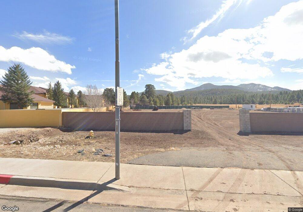
953 & 975 W Route 66 Williams, AZ 86046
Estimated Value: $482,433
--
Bed
--
Bath
--
Sq Ft
1.22
Acres
About This Home
This home is located at 953 & 975 W Route 66, Williams, AZ 86046 and is currently estimated at $482,433. 953 & 975 W Route 66 is a home located in Coconino County with nearby schools including Williams Elementary/Middle School, Williams High School, and Heritage Elementary - Williams.
Ownership History
Date
Name
Owned For
Owner Type
Purchase Details
Closed on
May 3, 2022
Sold by
M1 Society Llc
Bought by
Jamaica Properties Llc
Current Estimated Value
Home Financials for this Owner
Home Financials are based on the most recent Mortgage that was taken out on this home.
Original Mortgage
$292,500
Interest Rate
5.23%
Mortgage Type
New Conventional
Purchase Details
Closed on
Jan 3, 2014
Sold by
Dilullo Dean
Bought by
M1 Society Llc
Purchase Details
Closed on
Jul 1, 2004
Sold by
Nord Donald and Nord Paula
Bought by
Dilullo Dean
Home Financials for this Owner
Home Financials are based on the most recent Mortgage that was taken out on this home.
Original Mortgage
$228,000
Interest Rate
6.27%
Mortgage Type
Seller Take Back
Purchase Details
Closed on
Aug 24, 1999
Sold by
Crain John L
Bought by
Nord Donald and Nord Paula
Create a Home Valuation Report for This Property
The Home Valuation Report is an in-depth analysis detailing your home's value as well as a comparison with similar homes in the area
Home Values in the Area
Average Home Value in this Area
Purchase History
| Date | Buyer | Sale Price | Title Company |
|---|---|---|---|
| Jamaica Properties Llc | $450,000 | Pioneer Title | |
| M1 Society Llc | -- | None Available | |
| Dilullo Dean | $285,000 | Pioneer Title Agency Inc | |
| Nord Donald | $135,000 | Pioneer Title Agency Inc |
Source: Public Records
Mortgage History
| Date | Status | Borrower | Loan Amount |
|---|---|---|---|
| Previous Owner | Jamaica Properties Llc | $292,500 | |
| Previous Owner | Dilullo Dean | $228,000 |
Source: Public Records
Tax History Compared to Growth
Tax History
| Year | Tax Paid | Tax Assessment Tax Assessment Total Assessment is a certain percentage of the fair market value that is determined by local assessors to be the total taxable value of land and additions on the property. | Land | Improvement |
|---|---|---|---|---|
| 2025 | $1,549 | $19,034 | -- | -- |
| 2024 | $1,549 | $18,121 | -- | -- |
| 2023 | $1,512 | $18,121 | $0 | $0 |
| 2022 | $1,512 | $18,121 | $0 | $0 |
| 2021 | $1,459 | $18,121 | $0 | $0 |
| 2020 | $1,429 | $15,748 | $0 | $0 |
| 2019 | $1,456 | $15,748 | $0 | $0 |
| 2018 | $1,441 | $15,748 | $0 | $0 |
| 2017 | $1,412 | $14,606 | $0 | $0 |
| 2016 | $1,403 | $14,606 | $0 | $0 |
| 2015 | $1,502 | $15,580 | $0 | $0 |
Source: Public Records
Map
Nearby Homes
- 304 S 4th St
- 407 S 7th St
- 411 S 6th St
- 215 W Hancock Ave
- 106 W Sherman Ave
- 00 W Fulton Ave
- 1011 W Sheridan Ave
- 500 W Meade Ave
- 1021 W Sheridan Ave
- 530 W Mcpherson Ave
- 412 S 1st St
- 1030 W Hancock Ave
- 911 W Oak St
- 165 Pinecrest Trail
- 1111 W Sheridan Ave
- 509 S 11th St
- 500 Grand Canyon Ave
- 277 Pinecrest Trail Unit 59
- 733 S 3rd St
- 201 S Slagel St
- 624 W Route 66
- 533 W Route 66
- 530 W Route 66
- 9045 W Route 66
- 111 S 6th St
- 0 N Seventh
- 614 W Grant Ave
- 120 S 6th St
- 516 W Grant Ave
- 612 W Grant Ave
- 101 N 5th St
- 112 S 5th St
- 116 S 5th St
- 510 W Grant Ave
- 0 N 5th St Unit 118877
- 0 N 5th St Unit 149755
- 200 S 6th St
- 500 W Grant Ave
- 529 W Grant Ave
- 442 W Route 66