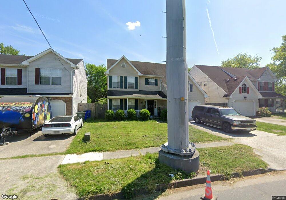
953 Avenue E Norfolk, VA 23513
Colonial Heights NeighborhoodEstimated Value: $374,000 - $392,000
4
Beds
3
Baths
2,245
Sq Ft
$171/Sq Ft
Est. Value
About This Home
This home is located at 953 Avenue E, Norfolk, VA 23513 and is currently estimated at $383,668, approximately $170 per square foot. 953 Avenue E is a home located in Norfolk City with nearby schools including Crossroads School, Norview Middle School, and Norview High School.
Ownership History
Date
Name
Owned For
Owner Type
Purchase Details
Closed on
Feb 23, 2007
Sold by
Walston Lyndon B and Simons Walston Valerie
Bought by
Rudolph Paul J
Current Estimated Value
Home Financials for this Owner
Home Financials are based on the most recent Mortgage that was taken out on this home.
Original Mortgage
$44,160
Outstanding Balance
$26,788
Interest Rate
6.3%
Mortgage Type
Credit Line Revolving
Estimated Equity
$356,880
Create a Home Valuation Report for This Property
The Home Valuation Report is an in-depth analysis detailing your home's value as well as a comparison with similar homes in the area
Home Values in the Area
Average Home Value in this Area
Purchase History
| Date | Buyer | Sale Price | Title Company |
|---|---|---|---|
| Rudolph Paul J | $223,000 | -- |
Source: Public Records
Mortgage History
| Date | Status | Borrower | Loan Amount |
|---|---|---|---|
| Open | Rudolph Paul J | $44,160 | |
| Open | Rudolph Paul J | $178,400 |
Source: Public Records
Tax History
| Year | Tax Paid | Tax Assessment Tax Assessment Total Assessment is a certain percentage of the fair market value that is determined by local assessors to be the total taxable value of land and additions on the property. | Land | Improvement |
|---|---|---|---|---|
| 2025 | $4,110 | $328,800 | $64,500 | $264,300 |
| 2024 | $3,833 | $306,600 | $64,500 | $242,100 |
| 2023 | $3,728 | $298,200 | $58,500 | $239,700 |
| 2022 | $3,613 | $289,000 | $49,300 | $239,700 |
| 2021 | $3,158 | $252,600 | $36,500 | $216,100 |
| 2020 | $2,971 | $237,700 | $27,500 | $210,200 |
| 2019 | $2,940 | $235,200 | $25,000 | $210,200 |
| 2018 | $2,764 | $221,100 | $23,000 | $198,100 |
| 2017 | $2,523 | $219,400 | $23,000 | $196,400 |
| 2016 | $2,482 | $210,400 | $23,000 | $187,400 |
| 2015 | $2,420 | $210,400 | $23,000 | $187,400 |
| 2014 | $2,420 | $210,400 | $23,000 | $187,400 |
Source: Public Records
Map
Nearby Homes
- 7416 Pomona St
- 7417 Evelyn T Butts Ave
- 7409 Hooper St
- 1077 Kittrell St
- 909 Workwood Rd
- 809 Craten Rd
- 6804 Thaxton St
- 968 Wolcott Ave
- 936 Widgeon Rd
- 977 Wolcott Ave
- 920 Widgeon Rd
- 6618 Palem Rd
- 837 Tifton St
- 6841 Cedarwood Ct
- 805 Tifton St
- 1005 Marietta Ave
- 7449 Fenner St
- 974 Philpotts Rd
- 7948 Merritt St
- 6456 Palem Rd
Your Personal Tour Guide
Ask me questions while you tour the home.