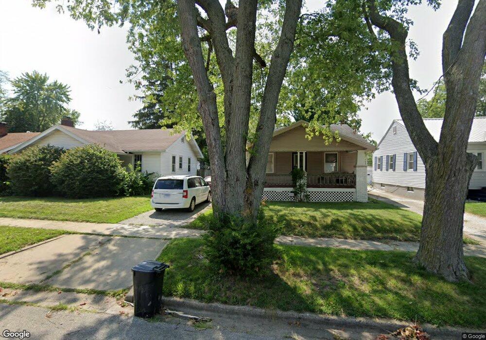
953 N Hill Ave Decatur, IL 62522
Garfield Park NeighborhoodEstimated Value: $39,000 - $52,000
--
Bed
1
Bath
884
Sq Ft
$50/Sq Ft
Est. Value
About This Home
This home is located at 953 N Hill Ave, Decatur, IL 62522 and is currently estimated at $44,506, approximately $50 per square foot. 953 N Hill Ave is a home located in Macon County with nearby schools including Stephen Decatur Middle School, St. Patrick School, and Teen Challenge-Home For Girls.
Ownership History
Date
Name
Owned For
Owner Type
Purchase Details
Closed on
Nov 13, 2024
Sold by
Brown Mildred
Bought by
Bass M Kersey
Current Estimated Value
Purchase Details
Closed on
Mar 24, 2008
Sold by
Mcclinton Tamara Lee P and Mcclinton Loman C
Bought by
Brown Mildred
Purchase Details
Closed on
Jul 16, 2007
Sold by
Bering Wilson M and Bering Wilson M
Bought by
Mcclinton Tamara Lee P and Mcclinton Loman C
Purchase Details
Closed on
Mar 8, 2001
Sold by
Bering Catherine E and Brown Catherine E
Bought by
Bering Wilson M
Create a Home Valuation Report for This Property
The Home Valuation Report is an in-depth analysis detailing your home's value as well as a comparison with similar homes in the area
Home Values in the Area
Average Home Value in this Area
Purchase History
| Date | Buyer | Sale Price | Title Company |
|---|---|---|---|
| Bass M Kersey | -- | None Listed On Document | |
| Brown Mildred | -- | None Available | |
| Mcclinton Tamara Lee P | $32,000 | None Available | |
| Bering Wilson M | -- | None Available |
Source: Public Records
Tax History Compared to Growth
Tax History
| Year | Tax Paid | Tax Assessment Tax Assessment Total Assessment is a certain percentage of the fair market value that is determined by local assessors to be the total taxable value of land and additions on the property. | Land | Improvement |
|---|---|---|---|---|
| 2024 | $936 | $9,666 | $436 | $9,230 |
| 2023 | $23 | $9,324 | $421 | $8,903 |
| 2022 | $23 | $8,546 | $389 | $8,157 |
| 2021 | $23 | $7,982 | $364 | $7,618 |
| 2020 | $24 | $7,612 | $348 | $7,264 |
| 2019 | $24 | $7,612 | $348 | $7,264 |
| 2018 | $24 | $8,339 | $241 | $8,098 |
| 2017 | $24 | $8,561 | $247 | $8,314 |
| 2016 | $24 | $8,649 | $250 | $8,399 |
| 2015 | $23 | $8,496 | $246 | $8,250 |
| 2014 | $22 | $9,741 | $1,357 | $8,384 |
| 2013 | $18 | $10,107 | $1,408 | $8,699 |
Source: Public Records
Map
Nearby Homes
- 917 N Wilder Ave
- 1065 W Green St
- 1451 W Marietta St
- 1319 W Waggoner St
- 837 W Grand Ave
- 958 W William St
- 1535 N Mcclellan Ave
- 1645 W Center St
- 1530 W Cushing St
- 266 Cobb Ave
- 875 N Monroe St
- 1675 W Center St
- 933 W Division St
- 1415 N Dennis Ave
- 925 W Olive St
- 254 N Pine St
- 1005 W Main St
- 415 W Green St
- 1653 N Maple Ave
- 1545 N Monroe St
- 947 N Hill Ave
- 961 N Hill Ave
- 939 N Hill Ave
- 969 N Hill Ave
- 942 N Hill Ave
- 931 N Hill Ave
- 938 N Hill Ave
- 977 N Hill Ave
- 946 N Hill Ave
- 948 N Hill Ave
- 930 N Hill Ave
- 923 N Hill Ave
- 950 N Hill Ave
- 952 N University Ave
- 946 N University Ave
- 954 N Hill Ave
- 956 N University Ave
- 1165 W Marietta St
- 964 N University Ave
- 1167 W Marietta St