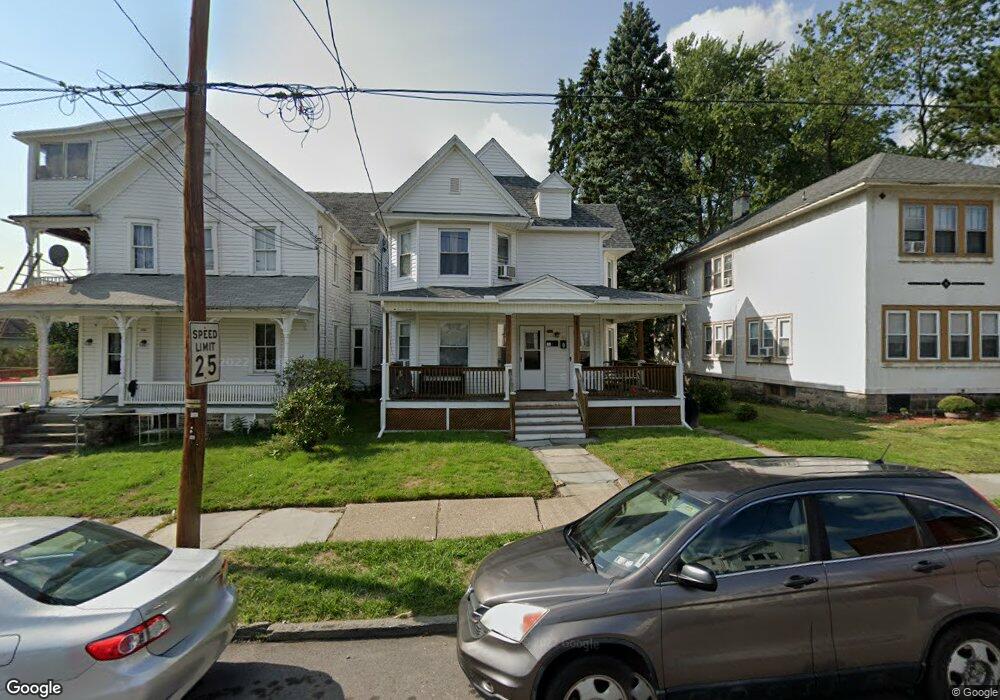
953 N Irving Ave Scranton, PA 18510
Hill Section NeighborhoodEstimated Value: $207,587 - $268,000
2
Beds
1
Bath
--
Sq Ft
6,534
Sq Ft Lot
About This Home
This home is located at 953 N Irving Ave, Scranton, PA 18510 and is currently estimated at $240,147. 953 N Irving Ave is a home located in Lackawanna County with nearby schools including Lakeside Elementary School, Pinchbeck Elementary School, and William Prescott School.
Ownership History
Date
Name
Owned For
Owner Type
Purchase Details
Closed on
Aug 27, 2021
Sold by
Wotanis Charles L and Wotanis Rene B
Bought by
Kolatis Philip J
Current Estimated Value
Home Financials for this Owner
Home Financials are based on the most recent Mortgage that was taken out on this home.
Original Mortgage
$160,000
Outstanding Balance
$145,371
Interest Rate
2.7%
Mortgage Type
Purchase Money Mortgage
Estimated Equity
$94,776
Purchase Details
Closed on
Dec 1, 1995
Bought by
Wotanis Charles L and Wotanis Rene B
Create a Home Valuation Report for This Property
The Home Valuation Report is an in-depth analysis detailing your home's value as well as a comparison with similar homes in the area
Home Values in the Area
Average Home Value in this Area
Purchase History
| Date | Buyer | Sale Price | Title Company |
|---|---|---|---|
| Kolatis Philip J | $170,000 | Keystone Abst Services Inc | |
| Wotanis Charles L | $32,000 | -- |
Source: Public Records
Mortgage History
| Date | Status | Borrower | Loan Amount |
|---|---|---|---|
| Open | Kolatis Philip J | $160,000 |
Source: Public Records
Tax History Compared to Growth
Tax History
| Year | Tax Paid | Tax Assessment Tax Assessment Total Assessment is a certain percentage of the fair market value that is determined by local assessors to be the total taxable value of land and additions on the property. | Land | Improvement |
|---|---|---|---|---|
| 2025 | $4,454 | $13,000 | $3,450 | $9,550 |
| 2024 | $4,088 | $13,000 | $3,450 | $9,550 |
| 2023 | $4,088 | $13,000 | $3,450 | $9,550 |
| 2022 | $3,999 | $13,000 | $3,450 | $9,550 |
| 2021 | $3,999 | $13,000 | $3,450 | $9,550 |
| 2020 | $3,929 | $13,000 | $3,450 | $9,550 |
| 2019 | $3,702 | $13,000 | $3,450 | $9,550 |
| 2018 | $3,702 | $13,000 | $3,450 | $9,550 |
| 2017 | $3,641 | $13,000 | $3,450 | $9,550 |
| 2016 | $1,285 | $13,000 | $3,450 | $9,550 |
| 2015 | $2,781 | $13,000 | $3,450 | $9,550 |
| 2014 | -- | $13,000 | $3,450 | $9,550 |
Source: Public Records
Map
Nearby Homes
- 1406 Ash St
- 1017 Prescott Ave
- 900 Taylor Ave
- 826 N Irving Ave
- 1112 Ridge Ave
- 805-807 N Irving Ave
- 139 William St
- 715 Prescott Ave Unit L17
- 825 827 Quincy Ave Unit 825-827
- 615-617 Quincy Ave
- 0 Colfax and Gibson Ave Unit GSBSC255175
- 1207 N Webster Ave
- 832 Monroe Ave
- 929 Monroe Ave
- 7 Oakwood Place
- 627 S Blakely St
- 1119 1121 Monroe Ave
- 1210 Monroe Ave
- 1018 Madison Ave
- 1028-1030 Madison Ave
- 955 N Irving Ave Unit 957
- 945 N Irving Ave
- 1318 Ash St
- 1322 Ash St
- 941 N Irving Ave
- 947 Buenzli Ct
- 1326 Ash St
- 1316 Ash St
- 935 N Irving Ave Unit R
- 935 N Irving Ave Unit Rear
- 958 N Irving Ave
- 944 Taylor Ave
- 938 - 940 Taylor Ave
- 938 Taylor Ave
- 950 Taylor Ave
- 1404 Ash St
- 934 Taylor Ave
- 933 N Irving Ave
- 946 Taylor Ave
- 1302 Ash St