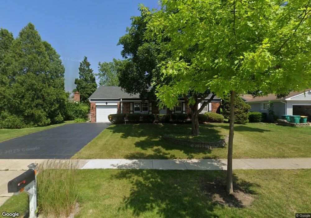
953 Parker Ln Unit 12 Buffalo Grove, IL 60089
Estimated Value: $345,000 - $412,000
--
Bed
2
Baths
1,176
Sq Ft
$325/Sq Ft
Est. Value
About This Home
This home is located at 953 Parker Ln Unit 12, Buffalo Grove, IL 60089 and is currently estimated at $382,453, approximately $325 per square foot. 953 Parker Ln Unit 12 is a home located in Lake County with nearby schools including Ivy Hall Elementary School, Twin Groves Middle School, and Adlai E Stevenson High School.
Ownership History
Date
Name
Owned For
Owner Type
Purchase Details
Closed on
Jun 26, 2019
Sold by
Kotecki Machell K and Kerber Machell K
Bought by
Kotecki Machell K and Machell K Kotecki Trust
Current Estimated Value
Purchase Details
Closed on
Jul 1, 1998
Sold by
Renik Michael A
Bought by
Kotecki Paul C and Kerber Machell K
Home Financials for this Owner
Home Financials are based on the most recent Mortgage that was taken out on this home.
Original Mortgage
$85,000
Interest Rate
7.17%
Purchase Details
Closed on
Aug 23, 1995
Sold by
Renik Andrew
Bought by
Renik Andrew and Renik Michael A
Create a Home Valuation Report for This Property
The Home Valuation Report is an in-depth analysis detailing your home's value as well as a comparison with similar homes in the area
Home Values in the Area
Average Home Value in this Area
Purchase History
| Date | Buyer | Sale Price | Title Company |
|---|---|---|---|
| Kotecki Machell K | -- | Attorney | |
| Kotecki Paul C | $140,000 | Collar Counties Title Plant | |
| Renik Andrew | -- | -- |
Source: Public Records
Mortgage History
| Date | Status | Borrower | Loan Amount |
|---|---|---|---|
| Previous Owner | Kotecki Paul C | $85,000 |
Source: Public Records
Tax History Compared to Growth
Tax History
| Year | Tax Paid | Tax Assessment Tax Assessment Total Assessment is a certain percentage of the fair market value that is determined by local assessors to be the total taxable value of land and additions on the property. | Land | Improvement |
|---|---|---|---|---|
| 2024 | $5,688 | $103,834 | $37,805 | $66,029 |
| 2023 | $6,304 | $97,975 | $35,672 | $62,303 |
| 2022 | $6,304 | $86,366 | $31,445 | $54,921 |
| 2021 | $6,134 | $85,435 | $31,106 | $54,329 |
| 2020 | $5,968 | $85,726 | $31,212 | $54,514 |
| 2019 | $5,827 | $85,410 | $31,097 | $54,313 |
| 2018 | $5,797 | $86,643 | $30,733 | $55,910 |
| 2017 | $5,759 | $84,621 | $30,016 | $54,605 |
| 2016 | $6,800 | $81,032 | $28,743 | $52,289 |
| 2015 | $6,571 | $75,780 | $26,880 | $48,900 |
| 2014 | $6,223 | $71,453 | $28,870 | $42,583 |
| 2012 | $6,090 | $71,596 | $28,928 | $42,668 |
Source: Public Records
Map
Nearby Homes
- 12 Cloverdale Ct
- 800 Clohesey Dr
- 950 Belmar Ln
- 1141 Devonshire Rd
- 931 Shady Grove Ln
- 887 Saybrook Ln Unit 2
- 1032 Courtland Dr Unit 9
- 1325 Fairfax Ln
- 1324 Fairfax Ln Unit B32
- 610 Checker Dr
- 1265 Devonshire Rd
- 5107 N Arlington Heights Rd
- 711 Woodhollow Ln
- 890 Knollwood Dr
- 1514 Sumter Dr
- 1357 Bristol Ln Unit Q4
- 390 Springside Ln
- 327 Lasalle Ln
- 1118 Larraway Dr
- 1545 Chickamauga Ln