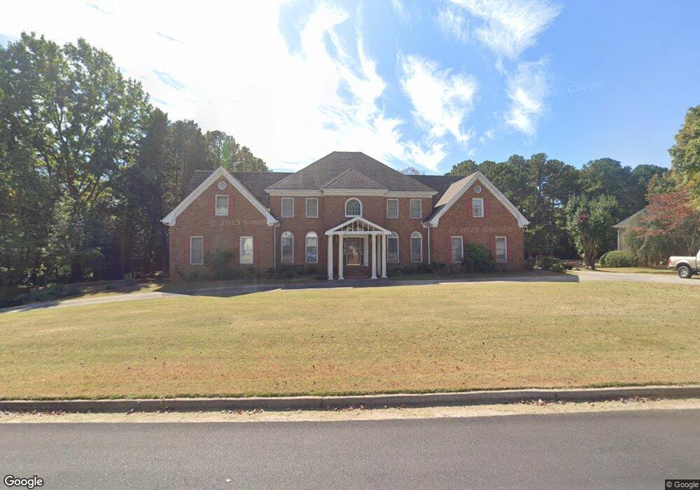
953 Sundew Dr SE Unit 7 Conyers, GA 30013
Estimated Value: $504,000 - $649,000
5
Beds
5
Baths
4,766
Sq Ft
$122/Sq Ft
Est. Value
About This Home
This home is located at 953 Sundew Dr SE Unit 7, Conyers, GA 30013 and is currently estimated at $583,380, approximately $122 per square foot. 953 Sundew Dr SE Unit 7 is a home located in Rockdale County with nearby schools including Flat Shoals Elementary School, Memorial Middle School, and Rockdale County High School.
Ownership History
Date
Name
Owned For
Owner Type
Purchase Details
Closed on
Jul 11, 2024
Sold by
Lewis James E
Bought by
Lewis James E and Lewis James E
Current Estimated Value
Purchase Details
Closed on
Jul 7, 1995
Sold by
Mckenzie Therman and Mckenzie Miranda Mack
Bought by
Lewis James E Barbara H
Create a Home Valuation Report for This Property
The Home Valuation Report is an in-depth analysis detailing your home's value as well as a comparison with similar homes in the area
Home Values in the Area
Average Home Value in this Area
Purchase History
| Date | Buyer | Sale Price | Title Company |
|---|---|---|---|
| Lewis James E | -- | -- | |
| Lewis James E Barbara H | $347,600 | -- |
Source: Public Records
Mortgage History
| Date | Status | Borrower | Loan Amount |
|---|---|---|---|
| Closed | Lewis James E Barbara H | $0 |
Source: Public Records
Tax History Compared to Growth
Tax History
| Year | Tax Paid | Tax Assessment Tax Assessment Total Assessment is a certain percentage of the fair market value that is determined by local assessors to be the total taxable value of land and additions on the property. | Land | Improvement |
|---|---|---|---|---|
| 2024 | $6,206 | $269,160 | $39,400 | $229,760 |
| 2023 | $5,071 | $235,280 | $35,240 | $200,040 |
| 2022 | $5,463 | $227,800 | $35,240 | $192,560 |
| 2021 | $4,541 | $183,560 | $25,200 | $158,360 |
| 2020 | $4,246 | $165,800 | $24,560 | $141,240 |
| 2019 | $3,873 | $149,680 | $15,000 | $134,680 |
| 2018 | $3,892 | $149,560 | $15,000 | $134,560 |
| 2017 | $3,421 | $133,720 | $15,000 | $118,720 |
| 2016 | $2,656 | $117,240 | $15,880 | $101,360 |
| 2015 | $2,656 | $117,240 | $15,880 | $101,360 |
| 2014 | $2,335 | $116,120 | $13,400 | $102,720 |
| 2013 | -- | $139,720 | $21,600 | $118,120 |
Source: Public Records
Map
Nearby Homes
- 952 Jimson Dr SE
- 1242 Saxony Dr SE
- 1408 Aramore Dr SE
- 2197 Boxwood Cir
- 2474 Harvest Dr SE
- 1135 Vineyard Dr SE
- Astrid Plan at Alder Park
- Harrison Plan at Alder Park
- Baker Plan at Alder Park
- Oliver Plan at Alder Park
- 2165 Old Salem Rd SE
- 1180 Azalea Cir SE
- 2130 Weatherstone Cir SE
- 2259 Old Salem Rd SE
- Boston Plan at Millers Pointe
- 1911 Colestock Ave SE
- Atlanta Plan at Millers Pointe
- Columbus Plan at Millers Pointe
- 2464 Lennox Rd SE
- 0 Georgia 20 Unit 10439576
- 949 Sundew Dr SE Unit 7
- 955 Sundew Dr SE
- 0 Sundew Dr SE Unit 8707313
- 0 Sundew Dr SE Unit 8648041
- 0 Sundew Dr SE Unit 8205545
- 0 Sundew Dr SE Unit 8159409
- 0 Sundew Dr SE Unit 7583529
- 0 Sundew Dr SE Unit 7577341
- 0 Sundew Dr SE Unit 8586275
- 0 Sundew Dr SE Unit 7560809
- 0 Sundew Dr SE Unit 8309528
- 0 Sundew Dr SE Unit 8620297
- 0 Sundew Dr SE Unit 8607524
- 0 Sundew Dr SE Unit 8542485
- 0 Sundew Dr SE Unit 8742348
- 0 Sundew Dr SE Unit 3159607
- 954 Sundew Dr SE
- 956 Sundew Dr SE
- 959 Sundew Dr SE
- 947 Sundew Dr SE