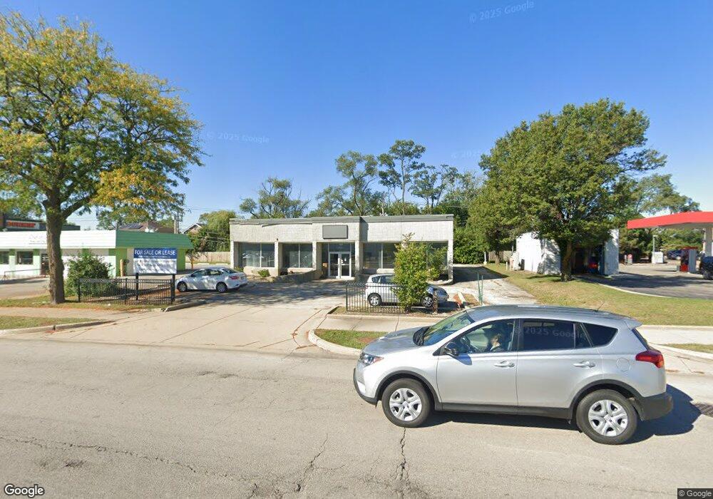
9530 Waukegan Rd Morton Grove, IL 60053
Estimated Value: $1,166,981
--
Bed
--
Bath
--
Sq Ft
9,060
Sq Ft Lot
About This Home
This home is located at 9530 Waukegan Rd, Morton Grove, IL 60053 and is currently estimated at $1,166,981. 9530 Waukegan Rd is a home located in Cook County with nearby schools including Hynes Elementary School, Golf Middle School, and Niles North High School.
Ownership History
Date
Name
Owned For
Owner Type
Purchase Details
Closed on
Jan 1, 2009
Sold by
Ratic Rade and Ratic Slavojka
Bought by
Fmw Llc
Current Estimated Value
Purchase Details
Closed on
Sep 12, 2008
Sold by
Mpt Holdings Llc
Bought by
Ratic Rade and Ratic Slavojka
Home Financials for this Owner
Home Financials are based on the most recent Mortgage that was taken out on this home.
Original Mortgage
$560,000
Interest Rate
6.57%
Mortgage Type
Commercial
Purchase Details
Closed on
Nov 28, 2006
Sold by
Chicago Title Land Trust Co
Bought by
Mpt Holdings Llc
Create a Home Valuation Report for This Property
The Home Valuation Report is an in-depth analysis detailing your home's value as well as a comparison with similar homes in the area
Home Values in the Area
Average Home Value in this Area
Purchase History
| Date | Buyer | Sale Price | Title Company |
|---|---|---|---|
| Fmw Llc | -- | None Available | |
| Ratic Rade | $800,000 | Cti | |
| Mpt Holdings Llc | -- | Chicago Title Land Trust Co |
Source: Public Records
Mortgage History
| Date | Status | Borrower | Loan Amount |
|---|---|---|---|
| Previous Owner | Ratic Rade | $560,000 |
Source: Public Records
Tax History Compared to Growth
Tax History
| Year | Tax Paid | Tax Assessment Tax Assessment Total Assessment is a certain percentage of the fair market value that is determined by local assessors to be the total taxable value of land and additions on the property. | Land | Improvement |
|---|---|---|---|---|
| 2024 | $34,011 | $125,039 | $31,763 | $93,276 |
| 2023 | $32,496 | $125,039 | $31,763 | $93,276 |
| 2022 | $32,496 | $125,039 | $31,763 | $93,276 |
| 2021 | $23,405 | $79,036 | $31,762 | $47,274 |
| 2020 | $17,137 | $58,928 | $31,762 | $27,166 |
| 2019 | $24,492 | $93,750 | $31,762 | $61,988 |
| 2018 | $17,140 | $58,928 | $24,956 | $33,972 |
| 2017 | $17,204 | $58,928 | $24,956 | $33,972 |
| 2016 | $25,886 | $93,749 | $24,956 | $68,793 |
| 2015 | $16,688 | $55,124 | $23,821 | $31,303 |
| 2014 | $16,367 | $55,124 | $23,821 | $31,303 |
| 2013 | $52,627 | $180,340 | $23,821 | $156,519 |
Source: Public Records
Map
Nearby Homes
- 9421 Sayre Ave
- 7030 Foster St
- 6727 Beckwith Rd
- 6909 Beckwith Rd
- 9244 Newcastle Ave
- 27 Logan Terrace
- 7240 Palma Ln
- 7215 Lyons St
- 7014 Church St
- 6619 Palma Ln
- 6610 Palma Ln
- 9400 Octavia Ave
- 120 Washington St
- 6712 Maple St
- 310 Nottingham Ave
- 229 Harlem Ave
- 7215 Beckwith Rd
- 7324 Palma Ln
- 7302 Ponto Dr
- 7303 Ponto Dr
- 9510 Waukegan Rd
- 9519 Sayre Ave
- 9523 Sayre Ave
- 9500 Waukegan Rd
- 9507 Sayre Ave
- 9527 Sayre Ave
- 9503 Sayre Ave
- 9451 Sayre Ave
- 9531 Sayre Ave
- 9537 Sayre Ave
- 9447 Sayre Ave
- 9506 Sayre Ave
- 9512 Sayre Ave
- 9518 Sayre Ave
- 9432 Waukegan Rd
- 9432 Waukegan Rd Unit 38
- 7007 Golf Rd
- 9434 Waukegan Rd
- 7006 Foster St
- 9441 Sayre Ave