9536 W Highway 70 Durant, OK 74701
Estimated Value: $856,897
--
Bed
--
Bath
14,350
Sq Ft
$60/Sq Ft
Est. Value
About This Home
This home is located at 9536 W Highway 70, Durant, OK 74701 and is currently estimated at $856,897, approximately $59 per square foot. 9536 W Highway 70 is a home located in Bryan County with nearby schools including Northwest Heights Elementary School, Durant Intermediate Elementary School, and Durant Middle School.
Ownership History
Date
Name
Owned For
Owner Type
Purchase Details
Closed on
Mar 31, 2021
Sold by
Wood William Scott
Bought by
W Douglas Distributing Ltd
Current Estimated Value
Purchase Details
Closed on
Apr 24, 2005
Sold by
Wood William Scott and Steward Cami Kay Wood
Bought by
Wood William Scott
Purchase Details
Closed on
Mar 25, 1994
Sold by
American Fireworks Co
Bought by
Wood, C J Rev Trust
Create a Home Valuation Report for This Property
The Home Valuation Report is an in-depth analysis detailing your home's value as well as a comparison with similar homes in the area
Home Values in the Area
Average Home Value in this Area
Purchase History
| Date | Buyer | Sale Price | Title Company |
|---|---|---|---|
| W Douglas Distributing Ltd | $615,000 | Modern Abstract And Title | |
| Wood William Scott | -- | None Available | |
| Wood William Scott | -- | None Available | |
| Wood, C J Rev Trust | $54,000 | -- |
Source: Public Records
Tax History Compared to Growth
Tax History
| Year | Tax Paid | Tax Assessment Tax Assessment Total Assessment is a certain percentage of the fair market value that is determined by local assessors to be the total taxable value of land and additions on the property. | Land | Improvement |
|---|---|---|---|---|
| 2025 | $8,641 | $86,463 | $55,881 | $30,582 |
| 2024 | $8,641 | $88,725 | $55,881 | $32,844 |
| 2023 | $8,641 | $86,369 | $55,881 | $30,488 |
| 2022 | $6,346 | $67,595 | $25,344 | $42,251 |
| 2021 | $2,084 | $21,669 | $10,421 | $11,248 |
| 2020 | $1,982 | $20,637 | $9,591 | $11,046 |
| 2019 | $1,782 | $19,654 | $8,800 | $10,854 |
| 2018 | $1,682 | $18,718 | $8,070 | $10,648 |
| 2017 | $1,592 | $17,828 | $8,298 | $9,530 |
| 2016 | $1,529 | $16,979 | $1,359 | $15,620 |
| 2015 | $1,523 | $16,979 | $1,359 | $15,620 |
| 2014 | $1,449 | $16,170 | $550 | $15,620 |
Source: Public Records
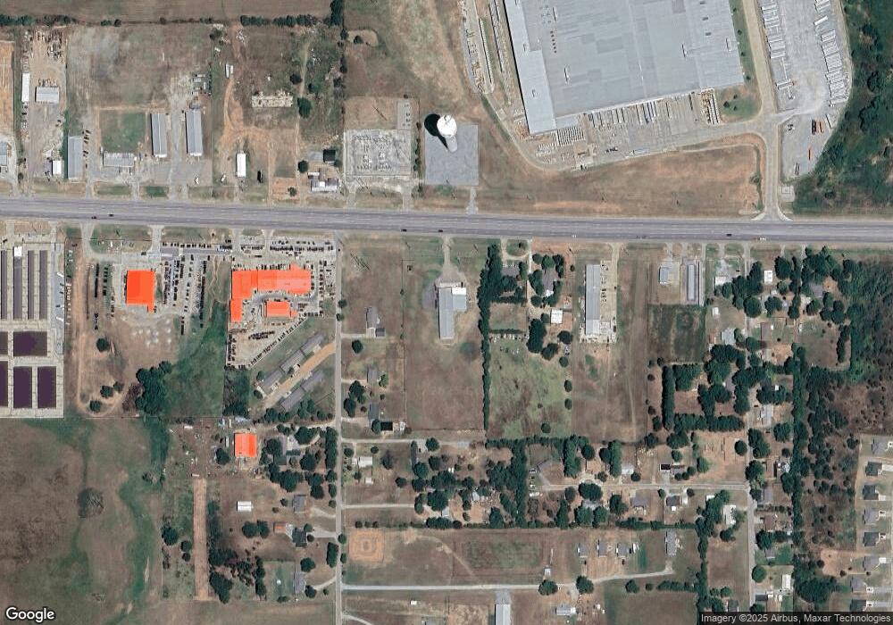
Map
Nearby Homes
- 823 Stoney Bridge Way
- 0 W Highway 70
- 379 Madison St
- 10499 W Highway 70
- 001 Madison Ave
- 5810 Benelli Blvd
- 0 Hwy 70 Rd Unit 2523282
- 849 Beretta Blvd
- 841 Annas Way
- 6063 Wilson St
- 752 Annas Way
- 1407 Colt Dr
- 6065 Wilson St
- 5923 Wilson St
- 5521 Kimberly Rd
- 000 University
- 6735 Wilson St
- 5218 Kimberly Rd
- 1803 Silo Rd
- 327 Wilson Pkwy
- 77 Fisher Station Rd
- 9584 W Highway 70
- 107 Fisher Station Rd
- 135 Fisher Station Rd
- 151 Fisher Station Rd
- 104 Apple Ln
- 170 Fisher Station Rd
- 90 Apple Ln
- 97 Apple Ln
- 204 Fisher Station Rd
- 52 Apple Ln
- 216 Fisher Station Rd
- 253 Fisher Station Rd
- 9415 W Highway 70
- 110 Cherry Ln
- 55 Apple Ln
- 142 Cherry Ln
- 240 Fisher Station Rd
- 45 Cherry Ln
- 2002 Cherry Ln