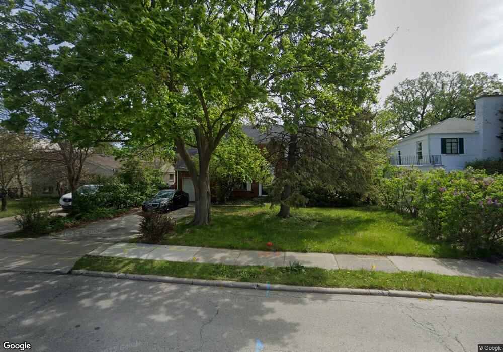
9537 Crawford Ave Evanston, IL 60203
North Skokie NeighborhoodEstimated Value: $610,000 - $722,272
3
Beds
2
Baths
1,856
Sq Ft
$355/Sq Ft
Est. Value
About This Home
This home is located at 9537 Crawford Ave, Evanston, IL 60203 and is currently estimated at $659,068, approximately $355 per square foot. 9537 Crawford Ave is a home located in Cook County with nearby schools including Walker Elementary School, Chute Middle School, and Evanston Township High School.
Ownership History
Date
Name
Owned For
Owner Type
Purchase Details
Closed on
May 13, 2010
Sold by
Oconnor John J
Bought by
Oconnor John J and The John J Oconnor Declaration Of Trust
Current Estimated Value
Purchase Details
Closed on
Apr 26, 1996
Sold by
Oconnor Mary
Bought by
Oconnor John J and Oconnor Mary
Home Financials for this Owner
Home Financials are based on the most recent Mortgage that was taken out on this home.
Original Mortgage
$192,000
Interest Rate
8.07%
Create a Home Valuation Report for This Property
The Home Valuation Report is an in-depth analysis detailing your home's value as well as a comparison with similar homes in the area
Home Values in the Area
Average Home Value in this Area
Purchase History
| Date | Buyer | Sale Price | Title Company |
|---|---|---|---|
| Oconnor John J | -- | Attorneys Title Guaranty Fun | |
| Oconnor John J | -- | -- |
Source: Public Records
Mortgage History
| Date | Status | Borrower | Loan Amount |
|---|---|---|---|
| Closed | Oconnor John J | $192,000 |
Source: Public Records
Tax History Compared to Growth
Tax History
| Year | Tax Paid | Tax Assessment Tax Assessment Total Assessment is a certain percentage of the fair market value that is determined by local assessors to be the total taxable value of land and additions on the property. | Land | Improvement |
|---|---|---|---|---|
| 2024 | $12,056 | $54,000 | $12,915 | $41,085 |
| 2023 | $11,549 | $54,000 | $12,915 | $41,085 |
| 2022 | $11,549 | $54,000 | $12,915 | $41,085 |
| 2021 | $10,021 | $41,746 | $7,749 | $33,997 |
| 2020 | $9,922 | $41,746 | $7,749 | $33,997 |
| 2019 | $9,785 | $45,875 | $7,749 | $38,126 |
| 2018 | $12,548 | $49,810 | $6,642 | $43,168 |
| 2017 | $12,278 | $49,810 | $6,642 | $43,168 |
| 2016 | $12,483 | $49,810 | $6,642 | $43,168 |
| 2015 | $11,786 | $44,510 | $5,719 | $38,791 |
| 2014 | $11,657 | $44,510 | $5,719 | $38,791 |
| 2013 | $10,358 | $44,510 | $5,719 | $38,791 |
Source: Public Records
Map
Nearby Homes
- 2633 Crawford Ave
- 9628 Keystone Ave
- 9833 Keystone Ave
- 9555 Kildare Ave
- 9333 Kildare Ave
- 9349 N Lowell Ave
- 2501 Crawford Ave
- 9246 Kildare Ave
- 9101 Sleeping Bear Rd
- 2555 Gross Point Rd Unit 112
- 2518 Ridgeway Ave
- 2221 Lincolnwood Dr
- 4354 Lyons St
- 2951 Colfax St
- 2113 Forestview Rd
- 3233 Central St
- 3131 Central St
- 3500 Church St Unit 204
- 9010 Keeler Ave
- 9445 Kenton Ave Unit P30
- 9543 Crawford Ave
- 9531 Crawford Ave
- 9547 Crawford Ave
- 9525 Crawford Ave
- 9534 Harding Ave
- 9542 Harding Ave
- 9542 Harding Ave
- 9530 Harding Ave
- 9519 Crawford Ave
- 9556 Harding Ave
- 9556 Harding Ave
- 9526 Harding Ave
- 9526 Harding Ave
- 9538 Crawford Ave
- 9542 Crawford Ave
- 4001 Golf Rd
- 9515 Crawford Ave
- 9515 Crawford Ave
- 9526 Crawford Ave
- 9516 Harding Ave