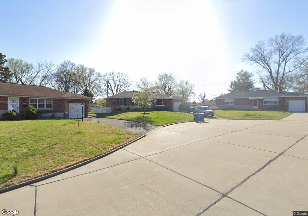
9537 Lindsley Ct Saint Louis, MO 63123
Estimated Value: $238,178 - $283,000
3
Beds
1
Bath
1,283
Sq Ft
$196/Sq Ft
Est. Value
About This Home
This home is located at 9537 Lindsley Ct, Saint Louis, MO 63123 and is currently estimated at $252,045, approximately $196 per square foot. 9537 Lindsley Ct is a home located in St. Louis County with nearby schools including Bayless Elementary School, Bayless Junior High School, and Bayless Senior High School.
Ownership History
Date
Name
Owned For
Owner Type
Purchase Details
Closed on
Aug 9, 2013
Sold by
Wegener Bernell
Bought by
Rustige Patricia L
Current Estimated Value
Home Financials for this Owner
Home Financials are based on the most recent Mortgage that was taken out on this home.
Original Mortgage
$102,600
Outstanding Balance
$76,147
Interest Rate
4.34%
Mortgage Type
New Conventional
Estimated Equity
$175,898
Create a Home Valuation Report for This Property
The Home Valuation Report is an in-depth analysis detailing your home's value as well as a comparison with similar homes in the area
Home Values in the Area
Average Home Value in this Area
Purchase History
| Date | Buyer | Sale Price | Title Company |
|---|---|---|---|
| Rustige Patricia L | $114,000 | Title Partners Agency Llc |
Source: Public Records
Mortgage History
| Date | Status | Borrower | Loan Amount |
|---|---|---|---|
| Open | Rustige Patricia L | $102,600 |
Source: Public Records
Tax History
| Year | Tax Paid | Tax Assessment Tax Assessment Total Assessment is a certain percentage of the fair market value that is determined by local assessors to be the total taxable value of land and additions on the property. | Land | Improvement |
|---|---|---|---|---|
| 2025 | $2,606 | $40,850 | $14,860 | $25,990 |
| 2024 | $2,606 | $35,810 | $7,920 | $27,890 |
| 2023 | $2,565 | $35,810 | $7,920 | $27,890 |
| 2022 | $2,471 | $29,160 | $8,910 | $20,250 |
| 2021 | $2,237 | $29,160 | $8,910 | $20,250 |
| 2020 | $2,289 | $27,660 | $8,720 | $18,940 |
| 2019 | $2,283 | $27,660 | $8,720 | $18,940 |
| 2018 | $2,179 | $23,390 | $6,760 | $16,630 |
| 2017 | $2,046 | $23,390 | $6,760 | $16,630 |
| 2016 | $1,962 | $22,060 | $3,910 | $18,150 |
Source: Public Records
Map
Nearby Homes
- 4469 Mohegan Dr
- 9025 Kickapoo Dr
- 9200 Papoose Dr
- 4423 Little Chief Dr
- 9117 Tiber Ct
- 4294 Kay Ln Unit 6
- 9134 Niger Dr
- 9105 Southview Ln
- 9530 Erie Dr
- 4635 Candace Dr
- 4409 Fatima Dr
- 4618 Weber Rd
- 9821 Zenith Dr
- 9047 Villaridge Ct Unit A
- 9319 Lenard Ct
- 9924 Bunker Hill Dr Unit G
- 9070 Villaridge Ct Unit 38
- 10031 Echoridge Ln Unit A
- 9925 Bunker Hill Dr Unit F
- 10069 N Bunker Hill Dr Unit A
- 9541 Lindsley Ct
- 9533 Lindsley Ct
- 9549 Howerton Dr
- 9538 Breuer Dr
- 9534 Breuer Dr
- 9553 Howerton Dr
- 9546 Breuer Dr
- 9529 Lindsley Ct
- 9525 Lindsley Ct
- 9517 Lindsley Ct
- 9522 Breuer Dr
- 9534 Howerton Dr
- 9528 Howerton Dr
- 9601 Howerton Dr
- 9554 Breuer Dr
- 9522 Howerton Dr
- 4710 Forman Rd
- 9511 Howerton Dr
- 9516 Howerton Dr
- 9605 Howerton Dr
Your Personal Tour Guide
Ask me questions while you tour the home.