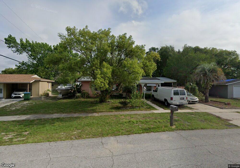
954 Henderson St Deltona, FL 32725
Estimated Value: $206,000 - $238,000
2
Beds
2
Baths
1,065
Sq Ft
$208/Sq Ft
Est. Value
About This Home
This home is located at 954 Henderson St, Deltona, FL 32725 and is currently estimated at $222,009, approximately $208 per square foot. 954 Henderson St is a home located in Volusia County with nearby schools including Discovery Elementary School, Deltona Middle School, and University High School.
Ownership History
Date
Name
Owned For
Owner Type
Purchase Details
Closed on
Feb 6, 2023
Sold by
Byrd Donald Edward Le
Bought by
Wilmot Gerald Russell
Current Estimated Value
Purchase Details
Closed on
Mar 6, 2017
Sold by
Bove Ann M
Bought by
Byrd Patricia and Byrd Donald
Purchase Details
Closed on
Jan 15, 1984
Bought by
Bove Ann M
Purchase Details
Closed on
May 15, 1982
Bought by
Bove Ann M
Purchase Details
Closed on
May 15, 1973
Bought by
Bove Ann M
Create a Home Valuation Report for This Property
The Home Valuation Report is an in-depth analysis detailing your home's value as well as a comparison with similar homes in the area
Home Values in the Area
Average Home Value in this Area
Purchase History
We collect this data history from publicly available records. To have your information removed, we recommend requesting removal directly through your county’s website.
| Date | Buyer | Sale Price | Title Company |
|---|---|---|---|
| Wilmot Gerald Russell | $100 | None Listed On Document | |
| Byrd Donald Edward | $100 | None Listed On Document | |
| Byrd Patricia | $38,000 | Esquity Titl Services Inc | |
| Bove Ann M | $36,000 | -- | |
| Bove Ann M | $32,400 | -- | |
| Bove Ann M | $21,500 | -- |
Source: Public Records
Tax History
| Year | Tax Paid | Tax Assessment Tax Assessment Total Assessment is a certain percentage of the fair market value that is determined by local assessors to be the total taxable value of land and additions on the property. | Land | Improvement |
|---|---|---|---|---|
| 2026 | $740 | $81,606 | -- | -- |
| 2025 | $740 | $79,461 | -- | -- |
| 2024 | $598 | $77,222 | -- | -- |
| 2023 | $598 | $74,973 | $0 | $0 |
| 2022 | $626 | $72,789 | $0 | $0 |
| 2021 | $637 | $70,669 | $0 | $0 |
| 2020 | $639 | $69,693 | $0 | $0 |
| 2019 | $648 | $68,126 | $0 | $0 |
| 2018 | $1,037 | $73,113 | $12,265 | $60,848 |
| 2017 | $1,452 | $52,248 | $7,182 | $45,066 |
| 2016 | $1,353 | $50,379 | $0 | $0 |
| 2015 | $1,275 | $44,323 | $0 | $0 |
| 2014 | $1,142 | $36,814 | $0 | $0 |
Source: Public Records
Map
Nearby Homes
- 1454 Stillwater Ave
- 1509 Sunbird Terrace
- 1519 Sunbird Terrace
- 1430 Stillwater Ave Unit 30
- 898 Merrimac St
- 1534 Merrimac Ln
- 895 Superior St
- 1051 Eva St
- 1060 Eva St
- 1378 Bailey Ave
- 1571 Urbana Ave
- 1412 Independence Ave
- 1627 Saxon Blvd
- 899 Horizon St Unit 24
- 1120 Baton Dr
- 1079 Alladin Dr
- 1648 Urbana Ave
- 944 Halstead St
- 789 N Midland Dr
- 824 Fruitland Dr
- 1474 E Hancock Dr
- 1480 E Hancock Dr
- 1468 E Hancock Dr
- 975 Merrimac St
- 967 Merrimac St
- 1486 E Hancock Dr
- 983 Merrimac St
- 961 Merrimac St
- 1465 E Hancock Dr
- 1479 E Hancock Dr
- 989 Merrimac St
- 946 Henderson St
- 953 Merrimac St
- 1492 E Hancock Dr
- 1458 E Hancock Dr
- 964 Merrimac St
- 1455 E Hancock Dr
- 958 Merrimac St
- 1489 E Hancock Dr
- 995 Merrimac St
Your Personal Tour Guide
Ask me questions while you tour the home.