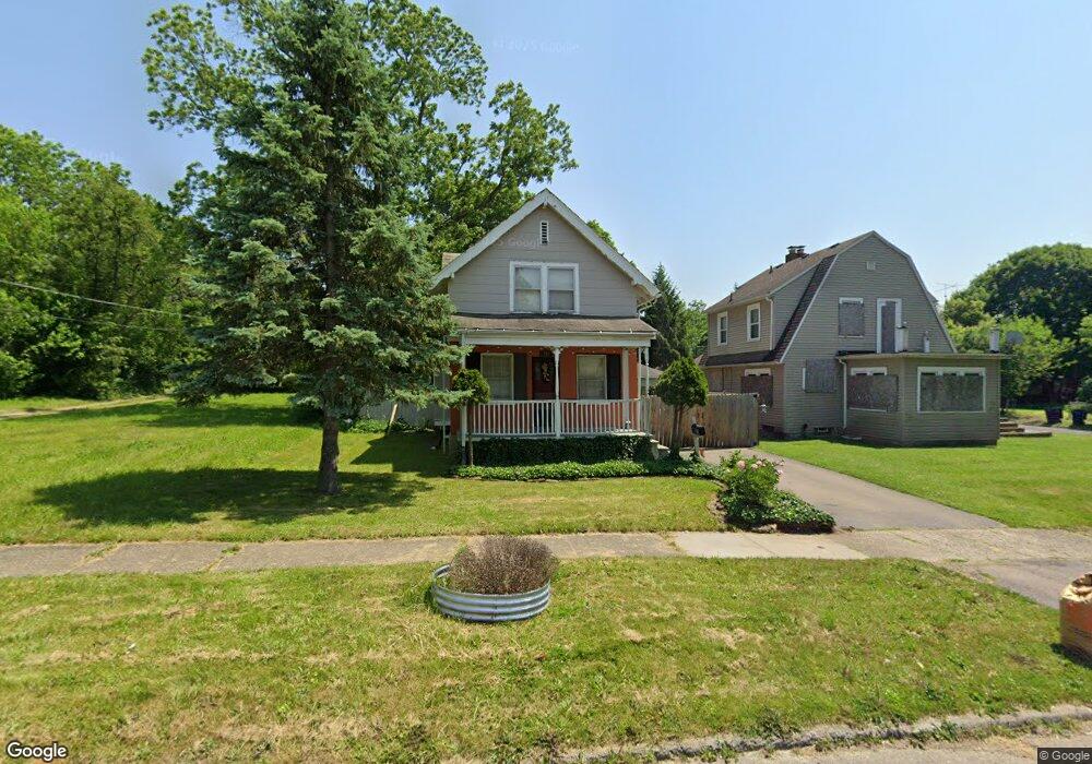
954 Perry St Flint, MI 48504
Mott Park NeighborhoodEstimated Value: $48,262 - $69,000
2
Beds
1
Bath
1,000
Sq Ft
$60/Sq Ft
Est. Value
About This Home
This home is located at 954 Perry St, Flint, MI 48504 and is currently estimated at $60,316, approximately $60 per square foot. 954 Perry St is a home located in Genesee County with nearby schools including Durant-Tuuri-Mott Elementary School, St John Vianney Catholic School, and St. Paul Lutheran School.
Ownership History
Date
Name
Owned For
Owner Type
Purchase Details
Closed on
Mar 7, 2024
Sold by
Genesee Cnty Land Bk Authority
Bought by
Alan Jeremy and Treece Lisa Marie
Current Estimated Value
Purchase Details
Closed on
Jul 26, 2018
Sold by
The Genesee County Land Bank Authority
Bought by
Alan Jeremy and Treece Lisa Marie
Purchase Details
Closed on
Dec 20, 2017
Sold by
Cherry Deborah L
Bought by
Genesee County Land Authority
Purchase Details
Closed on
Sep 26, 2011
Sold by
Atchison Mark S and Atchinson Delores L
Bought by
Vanorden Stephanie
Create a Home Valuation Report for This Property
The Home Valuation Report is an in-depth analysis detailing your home's value as well as a comparison with similar homes in the area
Home Values in the Area
Average Home Value in this Area
Purchase History
| Date | Buyer | Sale Price | Title Company |
|---|---|---|---|
| Alan Jeremy | $13,000 | None Listed On Document | |
| Alan Jeremy | $13,000 | None Listed On Document | |
| Alan Jeremy | $13,000 | None Available | |
| Genesee County Land Authority | -- | None Available | |
| Vanorden Stephanie | $19,000 | Mason Burgess Title Agency |
Source: Public Records
Mortgage History
| Date | Status | Borrower | Loan Amount |
|---|---|---|---|
| Closed | Alan Jeremy | $0 |
Source: Public Records
Tax History
| Year | Tax Paid | Tax Assessment Tax Assessment Total Assessment is a certain percentage of the fair market value that is determined by local assessors to be the total taxable value of land and additions on the property. | Land | Improvement |
|---|---|---|---|---|
| 2025 | $988 | $21,900 | $0 | $0 |
| 2024 | $919 | $20,200 | $0 | $0 |
| 2023 | $901 | $16,100 | $0 | $0 |
| 2022 | $0 | $14,100 | $0 | $0 |
| 2021 | $911 | $12,500 | $0 | $0 |
| 2020 | $842 | $10,700 | $0 | $0 |
| 2019 | $826 | $8,600 | $0 | $0 |
| 2018 | $221 | $0 | $0 | $0 |
| 2017 | $1,138 | $0 | $0 | $0 |
| 2016 | $767 | $0 | $0 | $0 |
| 2015 | -- | $0 | $0 | $0 |
| 2014 | -- | $0 | $0 | $0 |
| 2012 | -- | $10,700 | $0 | $0 |
Source: Public Records
Map
Nearby Homes
- 913 Perry St
- 2023 Cadillac St
- 1900 Cadillac St
- 1016 Dupont St
- 2026 Monteith St
- 751 Dupont St
- 971 N Chevrolet Ave
- 1025 Frost St
- 1717 Wolcott St
- 825 Frank St
- 2410 Sloan St
- 2008 University Ave
- 1409 Prospect St
- 2513 Tiffin St
- 2001 Mackin Rd
- 2602 Sloan St
- 2540 Altoona St
- 2547 Altoona St
- 314 Sheffield Ave
- 320 Sheffield Ave
Your Personal Tour Guide
Ask me questions while you tour the home.