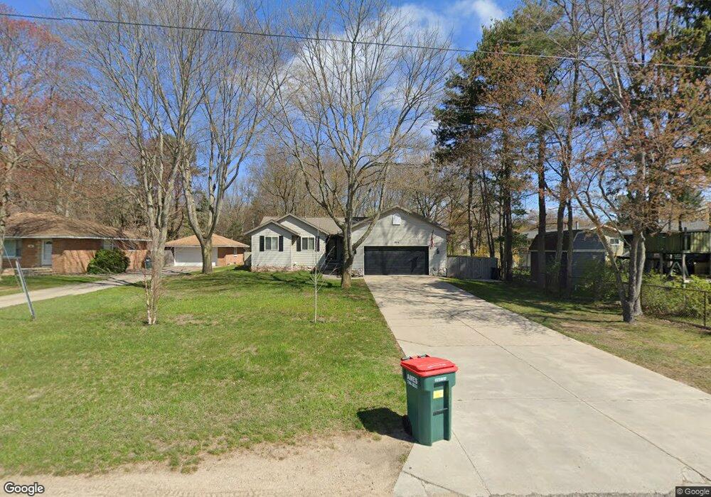
954 Porter Rd Norton Shores, MI 49441
Estimated Value: $323,125 - $363,000
3
Beds
2
Baths
1,203
Sq Ft
$286/Sq Ft
Est. Value
About This Home
This home is located at 954 Porter Rd, Norton Shores, MI 49441 and is currently estimated at $343,531, approximately $285 per square foot. 954 Porter Rd is a home located in Muskegon County with nearby schools including Mona Shores High School, Michigan Dunes Montessori School, and West Shore Lutheran School.
Ownership History
Date
Name
Owned For
Owner Type
Purchase Details
Closed on
Aug 25, 2011
Sold by
Konrad Marguerite L and Pallas Kathryn
Bought by
Mcpherson Shawn B
Current Estimated Value
Home Financials for this Owner
Home Financials are based on the most recent Mortgage that was taken out on this home.
Original Mortgage
$114,000
Outstanding Balance
$78,304
Interest Rate
4.4%
Mortgage Type
New Conventional
Estimated Equity
$265,227
Create a Home Valuation Report for This Property
The Home Valuation Report is an in-depth analysis detailing your home's value as well as a comparison with similar homes in the area
Home Values in the Area
Average Home Value in this Area
Purchase History
| Date | Buyer | Sale Price | Title Company |
|---|---|---|---|
| Mcpherson Shawn B | $120,000 | Woodland Title Agency Llc |
Source: Public Records
Mortgage History
| Date | Status | Borrower | Loan Amount |
|---|---|---|---|
| Open | Mcpherson Shawn B | $114,000 |
Source: Public Records
Tax History Compared to Growth
Tax History
| Year | Tax Paid | Tax Assessment Tax Assessment Total Assessment is a certain percentage of the fair market value that is determined by local assessors to be the total taxable value of land and additions on the property. | Land | Improvement |
|---|---|---|---|---|
| 2025 | $3,491 | $150,700 | $0 | $0 |
| 2024 | $2,737 | $141,500 | $0 | $0 |
| 2023 | $2,614 | $123,000 | $0 | $0 |
| 2022 | $3,186 | $106,000 | $0 | $0 |
| 2021 | $3,096 | $99,500 | $0 | $0 |
| 2020 | $2,639 | $81,800 | $0 | $0 |
| 2019 | $2,591 | $76,000 | $0 | $0 |
| 2018 | $2,530 | $74,300 | $0 | $0 |
| 2017 | $2,471 | $73,000 | $0 | $0 |
| 2016 | $1,914 | $67,600 | $0 | $0 |
| 2015 | -- | $64,900 | $0 | $0 |
| 2014 | $2,296 | $62,800 | $0 | $0 |
| 2013 | -- | $59,600 | $0 | $0 |
Source: Public Records
Map
Nearby Homes
- 5128 Henry St
- 5153 Shady Creek Dr
- 608 Porter Rd
- 5085 Gay St
- 516 Hendrick Rd
- 4666 Heinicke St
- 4655 Henry St
- 1087 W Mount Garfield Rd
- 1103 W Mount Garfield Rd
- 5075 Wickham Dr
- 263 Churchill Dr
- 1558 Brookwood Dr
- 6023 Henry St
- 1769 Bayview Dr
- 4676 Earl St
- 1887 Hendrick Rd
- 5473 Martin Rd
- 5579 Martin Rd
- 5043 Maranatha Dr
- 740 Bridgeview Bay Dr
- 960 Porter Rd
- 5171 Melmax St
- 5159 Melmax St
- 978 Porter Rd
- 5195 Melmax St
- 5186 Melmax St
- 5147 Melmax St
- 996 Porter Rd
- 5168 Melmax St
- 5133 Melmax St
- 1008 Porter Rd
- 5150 Melmax St
- 5140 Melmax St
- 5105 Melmax St
- 1017 Porter Rd
- 5119 Melmax St
- 5191 Chanick St
- 5167 Chanick St
- 5122 Melmax St
- 5182 Pine Ridge Dr