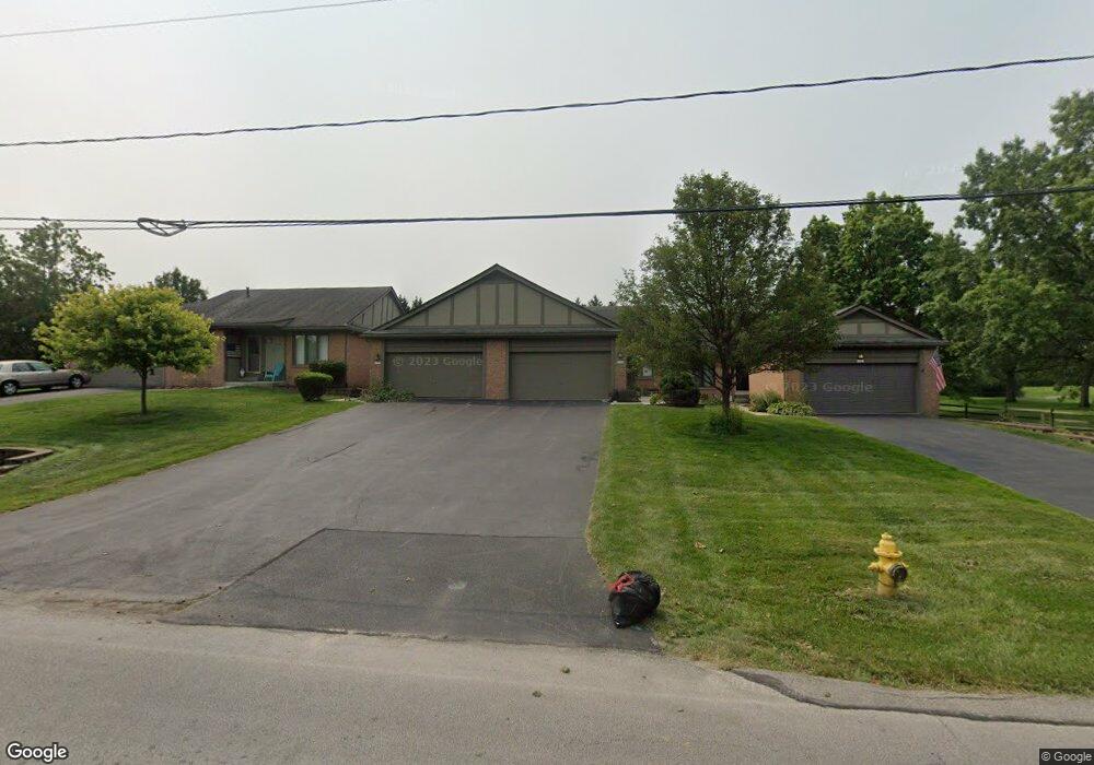
9541 Ford Rd Unit 10 Perrysburg, OH 43551
Belmont Farms NeighborhoodEstimated Value: $215,373 - $259,000
3
Beds
2
Baths
1,550
Sq Ft
$151/Sq Ft
Est. Value
About This Home
This home is located at 9541 Ford Rd Unit 10, Perrysburg, OH 43551 and is currently estimated at $233,343, approximately $150 per square foot. 9541 Ford Rd Unit 10 is a home located in Wood County with nearby schools including Rossford Elementary School, Rossford Junior High School, and Rossford High School.
Ownership History
Date
Name
Owned For
Owner Type
Purchase Details
Closed on
Jul 29, 2004
Sold by
Gray Christine T
Bought by
Musteric John M and Musteric Deborah J
Current Estimated Value
Home Financials for this Owner
Home Financials are based on the most recent Mortgage that was taken out on this home.
Original Mortgage
$150,100
Outstanding Balance
$73,715
Interest Rate
6.4%
Mortgage Type
Purchase Money Mortgage
Estimated Equity
$159,628
Purchase Details
Closed on
Oct 20, 2003
Sold by
Gray Fred
Bought by
Gray Christine T
Purchase Details
Closed on
Apr 27, 2001
Sold by
Losonsky Norman R and Losonsky Kathleen T
Bought by
Gray Fred and Gray Christine T
Purchase Details
Closed on
May 10, 1993
Bought by
Church & Church Inc
Create a Home Valuation Report for This Property
The Home Valuation Report is an in-depth analysis detailing your home's value as well as a comparison with similar homes in the area
Home Values in the Area
Average Home Value in this Area
Purchase History
| Date | Buyer | Sale Price | Title Company |
|---|---|---|---|
| Musteric John M | -- | Northwest Title Agency Of Oh | |
| Gray Christine T | -- | -- | |
| Gray Fred | $155,000 | Northwest Title Agency Compa | |
| Church & Church Inc | -- | -- |
Source: Public Records
Mortgage History
| Date | Status | Borrower | Loan Amount |
|---|---|---|---|
| Open | Musteric John M | $150,100 |
Source: Public Records
Tax History
| Year | Tax Paid | Tax Assessment Tax Assessment Total Assessment is a certain percentage of the fair market value that is determined by local assessors to be the total taxable value of land and additions on the property. | Land | Improvement |
|---|---|---|---|---|
| 2025 | $3,336 | $56,490 | $14,000 | $42,490 |
| 2024 | $3,172 | $56,490 | $14,000 | $42,490 |
| 2023 | $3,172 | $56,490 | $14,000 | $42,490 |
| 2021 | $3,629 | $52,430 | $10,500 | $41,930 |
| 2020 | $3,655 | $52,430 | $10,500 | $41,930 |
| 2019 | $3,603 | $48,620 | $10,500 | $38,120 |
| 2018 | $3,602 | $48,620 | $10,500 | $38,120 |
| 2017 | $3,133 | $48,620 | $10,500 | $38,120 |
| 2016 | $3,278 | $43,720 | $10,500 | $33,220 |
| 2015 | $3,278 | $43,720 | $10,500 | $33,220 |
| 2014 | $2,532 | $43,720 | $10,500 | $33,220 |
| 2013 | $2,667 | $43,720 | $10,500 | $33,220 |
Source: Public Records
Map
Nearby Homes
- 9520 Sheffield Rd
- 29078 Belmont Farm Rd
- 29099 Belmont Farm Rd
- 29311 Belmont Lake Rd
- 9853 Mandell Rd
- 719 W Ironwood Dr
- 725 W Ironwood Dr
- 727 W Ironwood Dr
- 29570 Gleneagles Rd
- 29610 Gleneagles Rd Unit 45-C
- 30266 Jacqueline Place
- 30039 Morningside Dr
- 30363 Jacqueline Place
- 10106 Wyandot Place
- 10325 Cliffwood Rd
- 11085 Riverbend Ct E Unit 11085
- 28741 White Rd
- 29633 Shelbourne Rd
- 28345 White Rd
- 29038 E River Rd
- 9535 Ford Rd Unit 9
- 9523 Ford Rd Unit 7
- 9529 Ford Rd
- 29341 Bates Rd Unit 6
- 29329 Bates Rd Unit 4
- 29311 Bates Rd Unit 1
- 29335 Bates Rd Unit 5
- 29317 Bates Rd
- 29301 Bates Rd
- 29293 Bates Rd
- 29271 Bates Rd
- 29285 Bates Rd Unit 29279
- 9601 Ford Rd
- 29279 Bates Rd
- 29462 Bates Rd
- 29402 Bates Rd
- 29255 Bates Rd
- 29241 Bates Rd Unit 29241
- 29235 Bates Rd Unit 29235
Your Personal Tour Guide
Ask me questions while you tour the home.