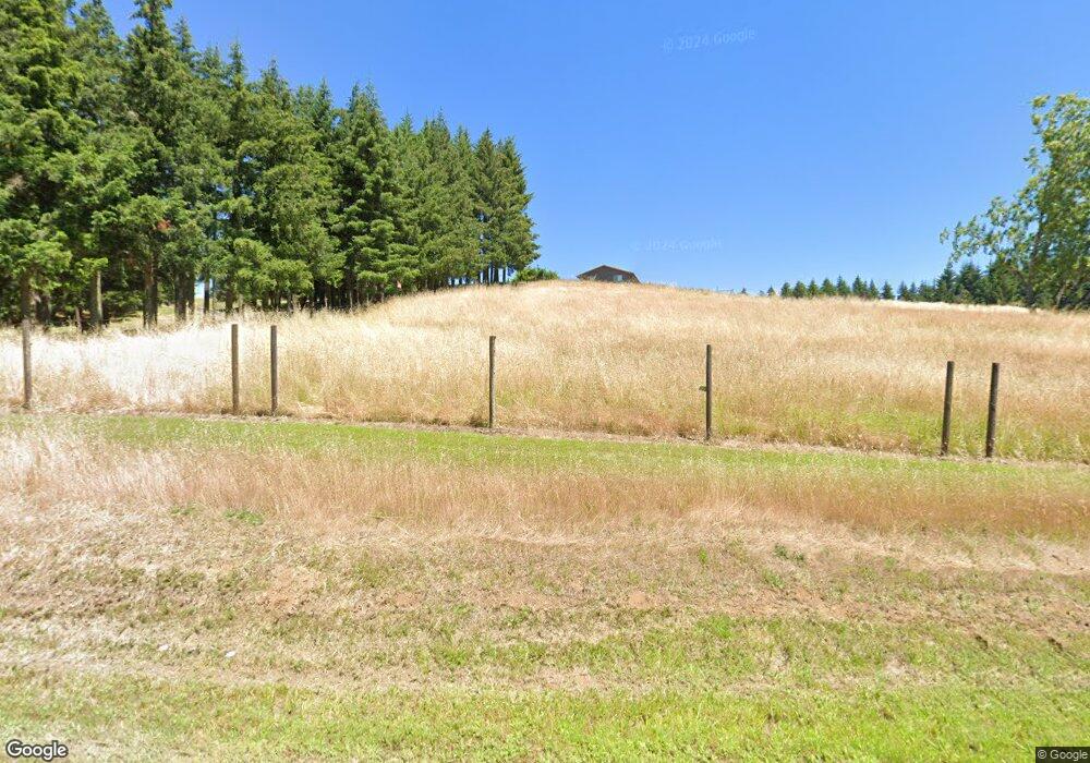
95421 Territorial Hwy Junction City, OR 97448
Estimated Value: $743,000 - $807,000
3
Beds
2
Baths
1,648
Sq Ft
$470/Sq Ft
Est. Value
About This Home
This home is located at 95421 Territorial Hwy, Junction City, OR 97448 and is currently estimated at $774,800, approximately $470 per square foot. 95421 Territorial Hwy is a home located in Lane County with nearby schools including Junction City High School.
Ownership History
Date
Name
Owned For
Owner Type
Purchase Details
Closed on
Oct 28, 2016
Sold by
Tracer Brandon and Tracer Michele
Bought by
Stevenson Taylor Elizabeth and Detering Pam
Current Estimated Value
Purchase Details
Closed on
May 2, 2007
Sold by
Long Kenneth I and Long Julie Ann
Bought by
Tracer Brandon and Tracer Michele
Home Financials for this Owner
Home Financials are based on the most recent Mortgage that was taken out on this home.
Original Mortgage
$272,000
Interest Rate
6.15%
Mortgage Type
Purchase Money Mortgage
Create a Home Valuation Report for This Property
The Home Valuation Report is an in-depth analysis detailing your home's value as well as a comparison with similar homes in the area
Home Values in the Area
Average Home Value in this Area
Purchase History
| Date | Buyer | Sale Price | Title Company |
|---|---|---|---|
| Stevenson Taylor Elizabeth | $410,000 | Western Title & Escrow Co | |
| Tracer Brandon | $432,000 | Cascade Title Co |
Source: Public Records
Mortgage History
| Date | Status | Borrower | Loan Amount |
|---|---|---|---|
| Previous Owner | Tracer Brandon | $272,000 |
Source: Public Records
Tax History Compared to Growth
Tax History
| Year | Tax Paid | Tax Assessment Tax Assessment Total Assessment is a certain percentage of the fair market value that is determined by local assessors to be the total taxable value of land and additions on the property. | Land | Improvement |
|---|---|---|---|---|
| 2024 | $3,087 | $287,296 | -- | -- |
| 2023 | $3,087 | $278,929 | $0 | $0 |
| 2022 | $2,862 | $270,805 | $0 | $0 |
| 2021 | $2,821 | $262,918 | $0 | $0 |
| 2020 | $2,726 | $255,261 | $0 | $0 |
| 2019 | $2,620 | $247,827 | $0 | $0 |
| 2018 | $2,545 | $233,601 | $0 | $0 |
| 2017 | $2,447 | $233,601 | $0 | $0 |
| 2016 | $2,381 | $226,797 | $0 | $0 |
| 2015 | $1,985 | $220,191 | $0 | $0 |
| 2014 | $2,038 | $213,778 | $0 | $0 |
Source: Public Records
Map
Nearby Homes
- 96100 Territorial Hwy
- 23900 Territorial Hwy
- 23900 Territorial Hwy Unit 2
- 23900 Territorial Hwy Unit 1
- 23900 Territorial Hwy Unit 3
- 15511AA017 W Highway 99
- 0 Hwy 99 W
- 15511AA016 W Highway 99
- 23741 Hwy 99
- 23900 Territorial (Parcel 2) Hwy
- 23900 Territorial (Parcel 3) Hwy
- 2708 W 15th Ave
- 2663 W 15th Ave
- 1447 Gladiola Dr
- 1346 Echo Valley Dr
- 887 Darlington Dr
- 2447 W 13th Ave
- 987 Farmington Dr
- The 1783 Plan at Rolling Meadows
- The 2096 Plan at Rolling Meadows
- 95505 Territorial Hwy
- 95429 Territorial Hwy
- 27033 Ferguson Rd
- 95545 Territorial Hwy
- 26985 Ferguson Rd
- 95450 Territorial Hwy
- 26899 Ferguson Rd
- 26877 Berg Dr
- 26920 Ferguson Rd
- 26790 Berg Dr
- 95296 Territorial Hwy
- 26835 Berg Dr
- 26825 Berg Dr
- 26754 Berg Dr
- 26795 Berg Dr
- 95218 Territorial Hwy
- 26716 Berg Dr
- 26740 Ferguson Rd
- 26721 Berg Dr
- 27387 Ferguson Rd