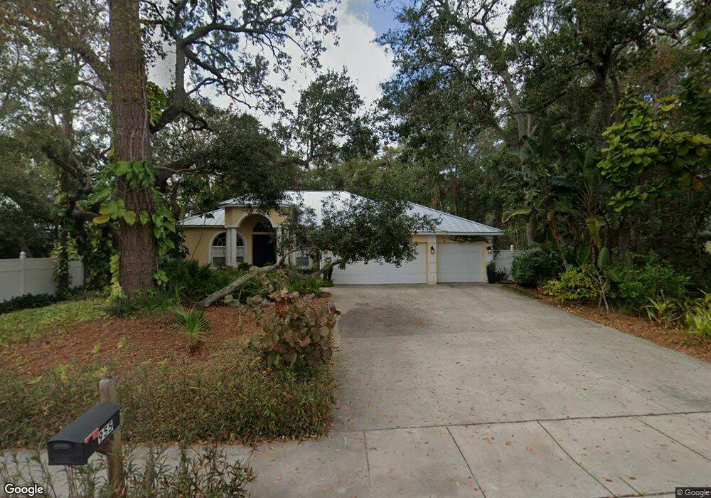
955 9th Ave N Safety Harbor, FL 34695
Estimated Value: $711,000 - $846,000
--
Bed
--
Bath
2,247
Sq Ft
$346/Sq Ft
Est. Value
About This Home
This home is located at 955 9th Ave N, Safety Harbor, FL 34695 and is currently estimated at $777,459, approximately $345 per square foot. 955 9th Ave N is a home located in Pinellas County with nearby schools including Safety Harbor Elementary School, Countryside High School, and Safety Harbor Middle School.
Ownership History
Date
Name
Owned For
Owner Type
Purchase Details
Closed on
May 26, 2004
Sold by
Xiong Tia and Xiong Ah
Bought by
Conte Yannis and Conte Holly F
Current Estimated Value
Home Financials for this Owner
Home Financials are based on the most recent Mortgage that was taken out on this home.
Original Mortgage
$281,200
Outstanding Balance
$58,793
Interest Rate
3.62%
Mortgage Type
Construction
Estimated Equity
$718,666
Purchase Details
Closed on
Jan 24, 2003
Sold by
Safety Harbor Development Associates Inc
Bought by
Xiong Tia and Xiong Ah
Create a Home Valuation Report for This Property
The Home Valuation Report is an in-depth analysis detailing your home's value as well as a comparison with similar homes in the area
Home Values in the Area
Average Home Value in this Area
Purchase History
| Date | Buyer | Sale Price | Title Company |
|---|---|---|---|
| Conte Yannis | $70,000 | Multiple | |
| Xiong Tia | $65,000 | Anclote Title Services Inc |
Source: Public Records
Mortgage History
| Date | Status | Borrower | Loan Amount |
|---|---|---|---|
| Open | Conte Yannis | $281,200 |
Source: Public Records
Tax History Compared to Growth
Tax History
| Year | Tax Paid | Tax Assessment Tax Assessment Total Assessment is a certain percentage of the fair market value that is determined by local assessors to be the total taxable value of land and additions on the property. | Land | Improvement |
|---|---|---|---|---|
| 2024 | $5,231 | $353,355 | -- | -- |
| 2023 | $5,231 | $343,063 | $0 | $0 |
| 2022 | $5,091 | $333,071 | $0 | $0 |
| 2021 | $5,165 | $323,370 | $0 | $0 |
| 2020 | $5,157 | $318,905 | $0 | $0 |
| 2019 | $4,984 | $307,011 | $0 | $0 |
| 2018 | $4,920 | $301,287 | $0 | $0 |
| 2017 | $4,883 | $295,090 | $0 | $0 |
| 2016 | $4,848 | $289,021 | $0 | $0 |
| 2015 | $4,950 | $287,012 | $0 | $0 |
| 2014 | $4,927 | $284,734 | $0 | $0 |
Source: Public Records
Map
Nearby Homes
- 1009 Wyndham Way
- 1155 7th St N
- 1119 Huntington Ln
- 720 Earls Ct
- 1103 Kensington Ct
- 1205 Hounds Run
- 1111 Chatham Ct
- 1209 Roxbury Dr
- 910 Kingscote Ct
- 932 Woodbridge Ct
- 1014 Bramblewood Ct
- 930 Woodbridge Ct
- 614 Pine St
- 931 Woodbridge Ct
- 914 Woodbridge Ct
- 422 Mapleway
- 915 Woodbridge Ct
- 415 Mapleway
- 415 Mapleway Unit A & B
- 1111 Dr M L King Jr St N
- 959 9th Ave N
- 963 9th Ave N
- 915 Harbor Lake Dr
- 904 Wyngate Ct
- 1100 Lake Ridge Ct
- 902 Wyngate Ct
- 1102 Lake Ridge Ct
- 2157 Railroad Ave
- 906 Wyngate Ct
- 1000 Lake Ridge Dr
- 920 Harbor Lake Dr
- 940 Harbor Lake Dr
- 1104 Lake Ridge Ct
- 903 Wyngate Ct
- 1101 Lake Ridge Ct
- 908 Wyngate Ct
- 905 Wyngate Ct
- 3400 Booth St
- 910 Wyngate Ct
- 1001 Lake Ridge Dr