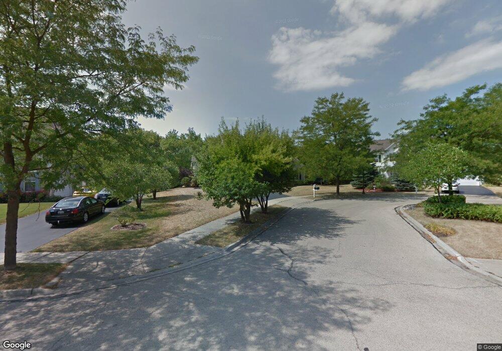
955 Angle Tarn West Dundee, IL 60118
Estimated Value: $450,308 - $486,000
4
Beds
--
Bath
2,263
Sq Ft
$209/Sq Ft
Est. Value
About This Home
This home is located at 955 Angle Tarn, West Dundee, IL 60118 and is currently estimated at $473,077, approximately $209 per square foot. 955 Angle Tarn is a home located in Kane County with nearby schools including Sleepy Hollow Elementary School, Dundee Middle School, and Dundee-Crown High School.
Ownership History
Date
Name
Owned For
Owner Type
Purchase Details
Closed on
Jul 26, 1996
Sold by
The Ryland Group Inc
Bought by
Wolfe John T and Wolfe Beth A
Current Estimated Value
Home Financials for this Owner
Home Financials are based on the most recent Mortgage that was taken out on this home.
Original Mortgage
$217,000
Interest Rate
8.33%
Mortgage Type
Balloon
Create a Home Valuation Report for This Property
The Home Valuation Report is an in-depth analysis detailing your home's value as well as a comparison with similar homes in the area
Home Values in the Area
Average Home Value in this Area
Purchase History
| Date | Buyer | Sale Price | Title Company |
|---|---|---|---|
| Wolfe John T | $260,000 | Ticor Title Insurance |
Source: Public Records
Mortgage History
| Date | Status | Borrower | Loan Amount |
|---|---|---|---|
| Closed | Wolfe John T | $217,000 |
Source: Public Records
Tax History
| Year | Tax Paid | Tax Assessment Tax Assessment Total Assessment is a certain percentage of the fair market value that is determined by local assessors to be the total taxable value of land and additions on the property. | Land | Improvement |
|---|---|---|---|---|
| 2024 | $10,598 | $138,018 | $27,254 | $110,764 |
| 2023 | $9,942 | $124,184 | $24,522 | $99,662 |
| 2022 | $10,133 | $121,014 | $24,522 | $96,492 |
| 2021 | $9,783 | $114,262 | $23,154 | $91,108 |
| 2020 | $9,603 | $111,693 | $22,633 | $89,060 |
| 2019 | $9,299 | $106,031 | $21,486 | $84,545 |
| 2018 | $9,250 | $102,990 | $21,061 | $81,929 |
| 2017 | $9,588 | $104,284 | $24,816 | $79,468 |
| 2016 | $9,777 | $100,972 | $24,028 | $76,944 |
| 2015 | -- | $94,614 | $22,515 | $72,099 |
| 2014 | -- | $92,001 | $21,893 | $70,108 |
| 2013 | -- | $94,817 | $22,563 | $72,254 |
Source: Public Records
Map
Nearby Homes
- 1042 Chateau Bluff Ln
- 36 River Ridge Dr
- 842 Winmoor Dr
- 10 Chateau Dr
- 601 Edwards Ave
- 560 S 5th St
- 505 Ryan Ln
- 716 Surrey Ln
- 315 Liberty St
- 305 Oregon Ave
- 936 Glen Oak Dr
- Lot 1 View St
- 103 Rainbow Dr
- 706 Geneva St
- 820 Lindsay Ln
- 1715 W Main St
- 1811 W Main St
- 206 Water St
- 1040 Beau Brummel Ct
- 812 Lindsay Ln
- 937 Angle Tarn
- 963 Angle Tarn
- 1068 Fox Path
- 1042 Fox Path
- 971 Angle Tarn
- 1108 Fox Path
- 929 Angle Tarn
- 1010 Fox Path
- 968 Angle Tarn
- 1207 Summerwood
- 1116 Fox Path
- 1025 Angle Tarn
- 1022 Angle Tarn
- 907 Angle Tarn
- 936 Angle Tarn
- 1112 Fairhills Dr
- 1045 Fox Path
- 1204 Summerwood
- 1146 Fairhills Dr
- 1225 Summerwood
Your Personal Tour Guide
Ask me questions while you tour the home.