Estimated Value: $143,000 - $204,000
3
Beds
2
Baths
1,652
Sq Ft
$112/Sq Ft
Est. Value
About This Home
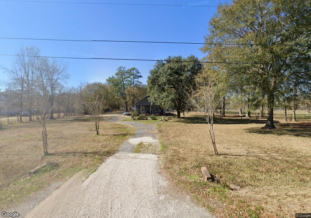
This home is located at 955 Doty Rd, Vidor, TX 77662 and is currently estimated at $184,260, approximately $111 per square foot. 955 Doty Rd is a home located in Orange County.
Ownership History
Date
Name
Owned For
Owner Type
Purchase Details
Closed on
Nov 20, 2020
Sold by
Purcell Sean and Purcell Katrina
Bought by
Jeter Julie D
Current Estimated Value
Purchase Details
Closed on
Dec 18, 2009
Sold by
Leal Steve L and Leal Jo Lynn
Bought by
Purcell Sean and Purcell Katrina
Home Financials for this Owner
Home Financials are based on the most recent Mortgage that was taken out on this home.
Original Mortgage
$77,326
Interest Rate
4.9%
Mortgage Type
FHA
Purchase Details
Closed on
Mar 28, 1988
Sold by
Unknown Seller
Bought by
Purcell Sean and Purcell Katrina
Purchase Details
Closed on
Jun 19, 1984
Sold by
Unknown Seller
Bought by
Purcell Sean and Purcell Katrina
Create a Home Valuation Report for This Property
The Home Valuation Report is an in-depth analysis detailing your home's value as well as a comparison with similar homes in the area
Home Values in the Area
Average Home Value in this Area
Purchase History
| Date | Buyer | Sale Price | Title Company |
|---|---|---|---|
| Jeter Julie D | -- | Security Abstract & Title | |
| Purcell Sean | -- | Satc | |
| Purcell Sean | -- | -- | |
| Purcell Sean | -- | -- |
Source: Public Records
Mortgage History
| Date | Status | Borrower | Loan Amount |
|---|---|---|---|
| Previous Owner | Purcell Sean | $77,326 |
Source: Public Records
Tax History
| Year | Tax Paid | Tax Assessment Tax Assessment Total Assessment is a certain percentage of the fair market value that is determined by local assessors to be the total taxable value of land and additions on the property. | Land | Improvement |
|---|---|---|---|---|
| 2025 | $2,240 | $171,162 | $33,750 | $137,412 |
| 2024 | $540 | $167,040 | $33,750 | $133,290 |
| 2023 | $1,868 | $128,039 | $33,750 | $94,289 |
| 2022 | $921 | $108,730 | $22,500 | $86,230 |
| 2021 | $1,897 | $102,000 | $22,500 | $79,500 |
| 2020 | $1,499 | $80,900 | $22,500 | $58,400 |
| 2019 | $1,374 | $71,080 | $22,500 | $48,580 |
| 2018 | $1,313 | $68,760 | $22,500 | $46,260 |
| 2017 | $840 | $68,760 | $22,500 | $46,260 |
| 2016 | $1,325 | $69,420 | $22,500 | $46,920 |
| 2015 | $916 | $66,502 | $22,500 | $44,002 |
| 2014 | $916 | $66,233 | $22,500 | $43,733 |
Source: Public Records
Map
Nearby Homes
- 4585 Eaves Rd
- 4595 Eaves Rd
- 0 Fm 1132 Unit 93970706
- 3665 E Railroad St
- 2870 Texas 12
- 4220 W Sutton Dr
- 4560 Townsend Dr
- 160 S Linscomb Rd
- 0 Texas 12
- 260 Lawrence Ln
- 0 Highway 12 Linscomb Rd Unit 24059808
- 3530 Evangeline Dr
- 3540 Evangeline Dr
- 6165 N Linscomb Rd
- 3118 Flora St
- 1080 Scott Dr
- 425 Lawrence Ln
- 1025 Strickland St
- 1130 Lyndale St
- 2950 Old Highway 90 E
Your Personal Tour Guide
Ask me questions while you tour the home.