955 Goodspeed Rd N Tillamook, OR 97141
Estimated Value: $136,000 - $1,004,000
4
Beds
3
Baths
2,376
Sq Ft
$244/Sq Ft
Est. Value
About This Home
This home is located at 955 Goodspeed Rd N, Tillamook, OR 97141 and is currently estimated at $579,138, approximately $243 per square foot. 955 Goodspeed Rd N is a home located in Tillamook County with nearby schools including Tillamook High School.
Ownership History
Date
Name
Owned For
Owner Type
Purchase Details
Closed on
Mar 4, 2021
Sold by
Smith Bryce W
Bought by
Victor Dairy Llc
Current Estimated Value
Home Financials for this Owner
Home Financials are based on the most recent Mortgage that was taken out on this home.
Original Mortgage
$1,714,302
Outstanding Balance
$999,739
Interest Rate
2.7%
Mortgage Type
Commercial
Estimated Equity
-$420,601
Purchase Details
Closed on
Dec 15, 2011
Sold by
Northrop Robert C and Northrop Linda L
Bought by
Smith Bryce W
Create a Home Valuation Report for This Property
The Home Valuation Report is an in-depth analysis detailing your home's value as well as a comparison with similar homes in the area
Home Values in the Area
Average Home Value in this Area
Purchase History
| Date | Buyer | Sale Price | Title Company |
|---|---|---|---|
| Victor Dairy Llc | $643,000 | Ticor Title | |
| Smith Bryce W | $365,000 | First American Title Ins Co |
Source: Public Records
Mortgage History
| Date | Status | Borrower | Loan Amount |
|---|---|---|---|
| Open | Victor Dairy Llc | $1,714,302 |
Source: Public Records
Tax History Compared to Growth
Tax History
| Year | Tax Paid | Tax Assessment Tax Assessment Total Assessment is a certain percentage of the fair market value that is determined by local assessors to be the total taxable value of land and additions on the property. | Land | Improvement |
|---|---|---|---|---|
| 2024 | $4,681 | $465,841 | $112,691 | $353,150 |
| 2023 | $2,626 | $468,131 | $109,731 | $358,400 |
| 2022 | $2,438 | $445,343 | $106,773 | $338,570 |
| 2021 | $2,273 | $324,605 | $89,015 | $235,590 |
| 2020 | $1,002 | $303,289 | $86,549 | $216,740 |
| 2019 | $995 | $292,711 | $84,151 | $208,560 |
| 2018 | $1,914 | $188,021 | $74,371 | $113,650 |
| 2017 | $949 | $182,123 | $72,203 | $109,920 |
Source: Public Records
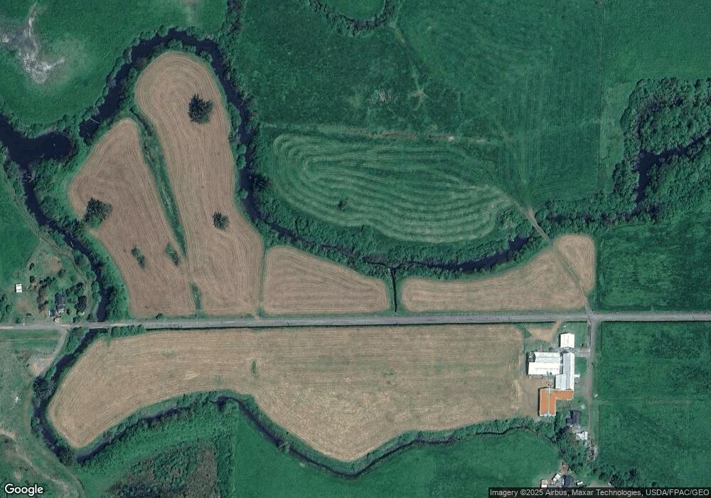
Map
Nearby Homes
- 1902 Makinster Rd
- 0 Makinster Rd Unit 1902 24205450
- 1307 3rd St
- 315 Birch Ave
- 412 Birch Ave
- 1708 4th St
- 1703 4th St
- 1706 5th St
- 1209 6th St
- 605 Cottonwood Ave
- 2418 1st St
- 00201 Wilson River Hwy
- TL# 02100 Wilson River Hwy
- Parcel 1 Wilson River Hwy
- Parcel 2 Wilson River Hwy
- 500 etc. Wilson River Hwy
- 2506 1st St
- 1412 9th St
- 1806 8th St
- 2305 7th St
- 980 Werner Rd N
- 1300 Werner Rd N
- 590 Goodspeed Rd N
- 1830 Goodspeed Rd N Unit N
- 0000 Goodspeed Rd
- 1900 Goodspeed Rd N
- 1680 Main Ave N
- 2060 Main Ave N
- 1550 Main Ave N
- 2100 N Main St
- 1550 N Main St
- 2150 N Main Ave
- 0 Main Ave N
- 955 Makinster Rd
- 1580 Hwy101
- VL 2020 N Main St
- 0 N Main St
- 460 Goodspeed Rd N
- 1865 N Main St
- 1605 N Highway 101