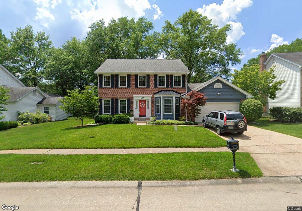
955 Kinsale Dr Ballwin, MO 63021
Estimated Value: $497,000 - $560,000
4
Beds
3
Baths
2,150
Sq Ft
$248/Sq Ft
Est. Value
About This Home
This home is located at 955 Kinsale Dr, Ballwin, MO 63021 and is currently estimated at $532,262, approximately $247 per square foot. 955 Kinsale Dr is a home located in St. Louis County with nearby schools including Barretts Elementary School, Parkway South Middle School, and Parkway South High School.
Ownership History
Date
Name
Owned For
Owner Type
Purchase Details
Closed on
Jun 14, 2011
Sold by
Leuchtmann Lawrence F and Leuchtmann Mary L
Bought by
Busold William D and Busold Holly C
Current Estimated Value
Home Financials for this Owner
Home Financials are based on the most recent Mortgage that was taken out on this home.
Original Mortgage
$230,400
Outstanding Balance
$159,651
Interest Rate
4.74%
Mortgage Type
New Conventional
Estimated Equity
$372,611
Create a Home Valuation Report for This Property
The Home Valuation Report is an in-depth analysis detailing your home's value as well as a comparison with similar homes in the area
Home Values in the Area
Average Home Value in this Area
Purchase History
| Date | Buyer | Sale Price | Title Company |
|---|---|---|---|
| Busold William D | $288,000 | None Available |
Source: Public Records
Mortgage History
| Date | Status | Borrower | Loan Amount |
|---|---|---|---|
| Open | Busold William D | $230,400 |
Source: Public Records
Tax History
| Year | Tax Paid | Tax Assessment Tax Assessment Total Assessment is a certain percentage of the fair market value that is determined by local assessors to be the total taxable value of land and additions on the property. | Land | Improvement |
|---|---|---|---|---|
| 2025 | $5,607 | $96,170 | $46,850 | $49,320 |
| 2024 | $5,607 | $82,140 | $26,260 | $55,880 |
| 2023 | $5,656 | $82,140 | $26,260 | $55,880 |
| 2022 | $5,181 | $69,140 | $29,980 | $39,160 |
| 2021 | $5,152 | $69,140 | $29,980 | $39,160 |
| 2020 | $4,836 | $62,110 | $26,260 | $35,850 |
| 2019 | $4,760 | $62,110 | $26,260 | $35,850 |
| 2018 | $4,720 | $57,130 | $19,760 | $37,370 |
| 2017 | $4,522 | $57,130 | $19,760 | $37,370 |
| 2016 | $4,739 | $55,670 | $17,860 | $37,810 |
Source: Public Records
Map
Nearby Homes
- 1649 Country Hill Ln
- 847 Weatherwood Dr
- 1117 Arbor Creek Dr Unit 3A
- 1117 Arbor Creek Dr Unit 3C
- 1141 Arbor Creek Dr Unit 3D
- 828 Carman Woods Dr
- 1601 Country Hill Ln
- 631 Loehr Estates Dr
- 1730 Woodmore Oaks Dr
- 3425 Country Stone Manor Dr Unit C
- 3417 Country Stone Manor Dr Unit F
- 3402 Country Stone Manor Dr Unit E
- 3072 Arbor Station Ct
- 759 Carman Woods Dr
- 1602 Mauvering Ct
- 1266 Big Bend Crossing Dr
- 1249 Big Bend Crossing Dr
- 3511 Georgetowne Village Dr
- 605 Waterford Ridge Ct
- 831 Windsor Gardens Ct
- 959 Kinsale Dr
- 951 Kinsale Dr
- 1739 Connemara Dr
- 1743 Connemara Dr
- 1735 Connemara Dr
- 1747 Connemara Dr
- 947 Kinsale Dr
- 1731 Connemara Dr
- 962 Kinsale Dr
- 942 Kinsale Dr
- 1727 Connemara Dr
- 943 Kinsale Dr
- 966 Kinsale Dr
- 1742 Connemara Dr
- 1738 Connemara Dr
- 1703 Connemara Dr
- 844 Castlebar Ct
- 1734 Connemara Dr
- 1746 Connemara Dr
- 1707 Connemara Dr
Your Personal Tour Guide
Ask me questions while you tour the home.