955 Laurel Branch Rd Murphy, NC 28906
Estimated Value: $447,000 - $670,000
2
Beds
2
Baths
2,803
Sq Ft
$192/Sq Ft
Est. Value
About This Home
This home is located at 955 Laurel Branch Rd, Murphy, NC 28906 and is currently estimated at $539,120, approximately $192 per square foot. 955 Laurel Branch Rd is a home located in Cherokee County with nearby schools including Hiwassee Dam Elementary/Middle School and Hiwassee Dam High School.
Ownership History
Date
Name
Owned For
Owner Type
Purchase Details
Closed on
Apr 26, 2011
Sold by
Carroll James L and Carroll Phyllis A
Bought by
Cash Lloyd F and Cash Jemifer
Current Estimated Value
Home Financials for this Owner
Home Financials are based on the most recent Mortgage that was taken out on this home.
Original Mortgage
$165,000
Outstanding Balance
$114,101
Interest Rate
4.85%
Mortgage Type
New Conventional
Estimated Equity
$425,019
Purchase Details
Closed on
Dec 9, 2009
Sold by
Bunnell Elizabeth
Bought by
Carroll James L and Carroll Phyllis A
Create a Home Valuation Report for This Property
The Home Valuation Report is an in-depth analysis detailing your home's value as well as a comparison with similar homes in the area
Home Values in the Area
Average Home Value in this Area
Purchase History
| Date | Buyer | Sale Price | Title Company |
|---|---|---|---|
| Cash Lloyd F | $165,000 | None Available | |
| Carroll James L | $134,767 | -- |
Source: Public Records
Mortgage History
| Date | Status | Borrower | Loan Amount |
|---|---|---|---|
| Open | Cash Lloyd F | $165,000 |
Source: Public Records
Tax History
| Year | Tax Paid | Tax Assessment Tax Assessment Total Assessment is a certain percentage of the fair market value that is determined by local assessors to be the total taxable value of land and additions on the property. | Land | Improvement |
|---|---|---|---|---|
| 2025 | $2,543 | $339,520 | $0 | $0 |
| 2024 | $24 | $339,520 | $0 | $0 |
| 2023 | $1,367 | $339,520 | $0 | $0 |
| 2022 | $1,367 | $178,970 | $0 | $0 |
| 2021 | $1,135 | $178,970 | $15,900 | $163,070 |
| 2020 | $1,056 | $178,970 | $0 | $0 |
| 2019 | $1,041 | $160,780 | $0 | $0 |
| 2018 | $993 | $160,780 | $0 | $0 |
| 2017 | $993 | $160,780 | $0 | $0 |
| 2016 | $891 | $142,860 | $0 | $0 |
| 2015 | $891 | $142,860 | $23,570 | $119,290 |
| 2012 | -- | $142,860 | $23,570 | $119,290 |
Source: Public Records
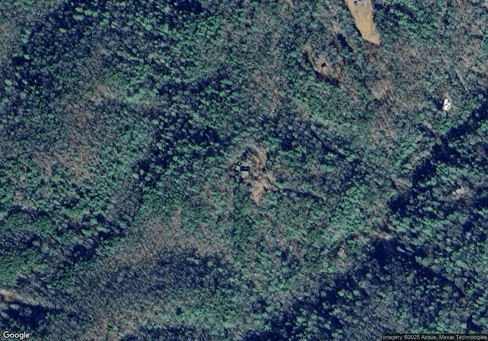
Map
Nearby Homes
- 00 Laurel Branch Rd
- 476 Appalachia Dam Rd
- 265 Iron Stone Ln
- 219 Womble Rd
- 969 Mountain Vista Rd
- 00 Nature Valley Trail
- 000 Nature Valley Trail
- 1.81 ac Nature Valley Trail
- TBD Camp Creek Rd
- 50 Lake Dr
- 371 Wilderness Lake Dr
- 0 Tbd Hwy 68
- 0 Hwy 68 Unit 425259
- 29 Lake Pointe Dr
- 12625 N Carolina 294
- 105 Liberty Rd
- 922 Liberty Cir
- 00 Sol Ln
- 128 Pioneer Estates Rd
- 986 Croft Chapel Rd
- 953 Laurel Branch Rd
- 959 Laurel Branch Rd
- 974 Laurel Branch Rd
- 910 Laurel Branch Rd
- 1150 Laurel Branch Rd
- 453 Raper Rd
- 2850 Camp Creek Rd
- 0 Raper Rd
- 344 Raper Rd
- 460 Raper Rd
- TBD Laurel Branch Rd
- LOT13 Laurel Branch Rd
- LOT4 Laurel Branch Rd
- LOT3 Laurel Branch Rd
- LOT2 Laurel Branch Rd
- LOT 3 Laurel Branch Rd
- LOT 9 Laurel Branch Rd
- LOT 4 Laurel Branch Rd
- LOT 2 Laurel Branch Rd
- LOT 7 Laurel Branch Rd
Your Personal Tour Guide
Ask me questions while you tour the home.