955 Marion Ave Mansfield, OH 44906
Estimated Value: $974,033 - $1,465,000
8
Beds
8
Baths
9,300
Sq Ft
$124/Sq Ft
Est. Value
About This Home
This home is located at 955 Marion Ave, Mansfield, OH 44906 and is currently estimated at $1,150,678, approximately $123 per square foot. 955 Marion Ave is a home located in Richland County with nearby schools including Discovery School, Mansfield Christian School, and Mansfield Seventh-day Adventist School.
Ownership History
Date
Name
Owned For
Owner Type
Purchase Details
Closed on
Nov 29, 2012
Sold by
Brown Elizabeth A
Bought by
New Donegal Properties Llc
Current Estimated Value
Purchase Details
Closed on
Dec 28, 2009
Sold by
Brown David A and Brown Elizabeth A
Bought by
Brown Elizabeth A
Purchase Details
Closed on
Sep 5, 2002
Sold by
Raemelton Farm Ptns
Bought by
Brown David A
Home Financials for this Owner
Home Financials are based on the most recent Mortgage that was taken out on this home.
Original Mortgage
$885,000
Interest Rate
6.41%
Mortgage Type
New Conventional
Create a Home Valuation Report for This Property
The Home Valuation Report is an in-depth analysis detailing your home's value as well as a comparison with similar homes in the area
Home Values in the Area
Average Home Value in this Area
Purchase History
| Date | Buyer | Sale Price | Title Company |
|---|---|---|---|
| New Donegal Properties Llc | -- | Chicago Title | |
| Brown Elizabeth A | -- | Attorney | |
| Brown David A | $650,000 | -- |
Source: Public Records
Mortgage History
| Date | Status | Borrower | Loan Amount |
|---|---|---|---|
| Previous Owner | Brown David A | $885,000 |
Source: Public Records
Tax History Compared to Growth
Tax History
| Year | Tax Paid | Tax Assessment Tax Assessment Total Assessment is a certain percentage of the fair market value that is determined by local assessors to be the total taxable value of land and additions on the property. | Land | Improvement |
|---|---|---|---|---|
| 2024 | $12,734 | $265,970 | $66,400 | $199,570 |
| 2023 | $12,734 | $265,970 | $66,400 | $199,570 |
| 2022 | $10,611 | $185,750 | $45,210 | $140,540 |
| 2021 | $10,685 | $185,750 | $45,210 | $140,540 |
| 2020 | $10,928 | $185,750 | $45,210 | $140,540 |
| 2019 | $12,113 | $185,750 | $45,210 | $140,540 |
| 2018 | $11,953 | $185,750 | $45,210 | $140,540 |
| 2017 | $133 | $185,750 | $45,210 | $140,540 |
| 2016 | $11,512 | $178,280 | $37,180 | $141,100 |
| 2015 | $10,995 | $178,280 | $37,180 | $141,100 |
| 2014 | $10,851 | $178,280 | $37,180 | $141,100 |
| 2012 | $4,297 | $184,300 | $38,840 | $145,460 |
Source: Public Records
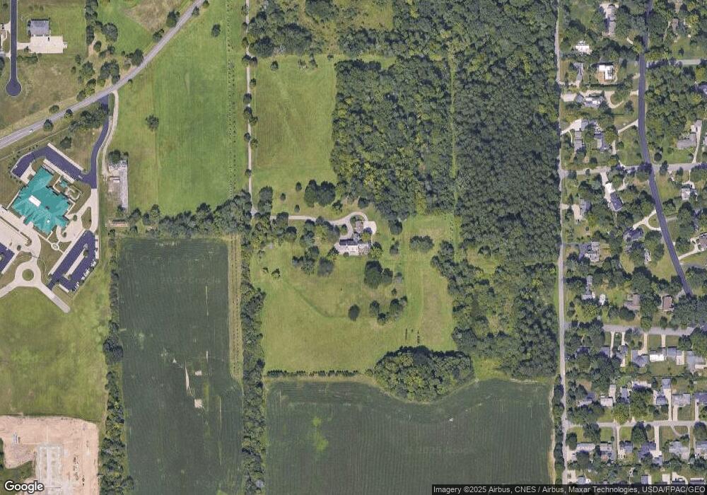
Map
Nearby Homes
- 650 Brae Burn Rd
- 655 Woodhill Rd
- 0 Bally Row Unit Lot 22930 223011207
- 0 Bally Row Unit Lot 22929 223011206
- 0 Bally Row Unit Lot 22940 223011208
- 0 S Trimble Rd
- 589 Andover Rd
- 1009 Woodhill Rd
- 441 Overlook Rd
- 421 Edgewood Rd
- 408 Fairlawn Ave
- 431 Overlook Rd
- 0 George Ave
- 0 Old Mill Run Rd Unit 9067543
- 0 Old Mill Run Rd Unit 9067542
- 538 Broadview Ave
- 400 James Ave
- 616 Cline Ave
- 501 Clifton Blvd
- 240 Whippoorwill Ln Unit 240
- 791 Woodland Rd
- 755 Woodland Rd
- 781 Woodland Rd
- 735 Woodland Rd
- 691 Stewart Ln
- 750 Woodhill Rd
- 681 Stewart Ln
- 690 Brae Burn Rd
- 711 Woodland Rd
- 730 Woodhill Rd
- 764 Woodhill Rd
- 668 Stewart Ln
- 673 Stewart Ln
- 1030 Marion Ave
- 770 Woodhill Rd
- 682 Brae Burn Rd
- 707 Woodland Rd
- 720 Woodhill Rd
- 667 Stewart Ln