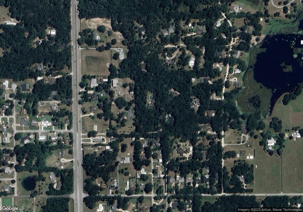
955 Rolling Acres Dr Deland, FL 32720
North DeLand NeighborhoodEstimated Value: $448,000 - $569,689
3
Beds
2
Baths
2,463
Sq Ft
$204/Sq Ft
Est. Value
About This Home
This home is located at 955 Rolling Acres Dr, Deland, FL 32720 and is currently estimated at $501,922, approximately $203 per square foot. 955 Rolling Acres Dr is a home located in Volusia County with nearby schools including Citrus Grove Elementary, Deland High School, and Deland Middle School.
Ownership History
Date
Name
Owned For
Owner Type
Purchase Details
Closed on
Jan 26, 2024
Sold by
Mckenna Kevin J and Mckenna Fatima M
Bought by
Mckenna Kevin J and Mckenna Fatima M
Current Estimated Value
Purchase Details
Closed on
Feb 27, 1996
Sold by
Steen Donald E and Steen Robin A
Bought by
Mckenna Kevin J and Mckenna Fatima M
Home Financials for this Owner
Home Financials are based on the most recent Mortgage that was taken out on this home.
Original Mortgage
$71,937
Interest Rate
6.97%
Purchase Details
Closed on
Dec 15, 1989
Bought by
Mckenna Kevin J and Mckenna Fatima M
Purchase Details
Closed on
Mar 15, 1987
Bought by
Mckenna Kevin J and Mckenna Fatima M
Purchase Details
Closed on
Oct 15, 1984
Bought by
Mckenna Kevin J and Mckenna Fatima M
Create a Home Valuation Report for This Property
The Home Valuation Report is an in-depth analysis detailing your home's value as well as a comparison with similar homes in the area
Home Values in the Area
Average Home Value in this Area
Purchase History
| Date | Buyer | Sale Price | Title Company |
|---|---|---|---|
| Mckenna Kevin J | $100 | None Listed On Document | |
| Mckenna Kevin J | $100 | None Listed On Document | |
| Mckenna Kevin J | $144,000 | -- | |
| Mckenna Kevin J | $32,500 | -- | |
| Mckenna Kevin J | $100 | -- | |
| Mckenna Kevin J | $32,000 | -- |
Source: Public Records
Mortgage History
| Date | Status | Borrower | Loan Amount |
|---|---|---|---|
| Previous Owner | Mckenna Kevin J | $71,937 |
Source: Public Records
Tax History Compared to Growth
Tax History
| Year | Tax Paid | Tax Assessment Tax Assessment Total Assessment is a certain percentage of the fair market value that is determined by local assessors to be the total taxable value of land and additions on the property. | Land | Improvement |
|---|---|---|---|---|
| 2025 | $3,675 | $242,450 | -- | -- |
| 2024 | $3,675 | $235,618 | -- | -- |
| 2023 | $3,675 | $228,756 | $0 | $0 |
| 2022 | $3,608 | $222,093 | $0 | $0 |
| 2021 | $3,036 | $179,715 | $0 | $0 |
| 2020 | $2,990 | $177,234 | $0 | $0 |
| 2019 | $3,083 | $173,249 | $0 | $0 |
| 2018 | $3,073 | $170,019 | $0 | $0 |
| 2017 | $3,074 | $166,522 | $0 | $0 |
| 2016 | $2,936 | $163,097 | $0 | $0 |
| 2015 | $2,994 | $161,963 | $0 | $0 |
| 2014 | $2,964 | $160,678 | $0 | $0 |
Source: Public Records
Map
Nearby Homes
- 975 Rolling Acres Dr
- 2172 N Spring Garden Ave
- 2285 Wilmhurst Rd
- 1110 Mercers Fernery Rd
- 753 Glenwood Rd
- 1937 N Spring Garden Ave
- 2541 Parkway Dr
- 887 Asterfield Ln
- 882 Asterfield Ln
- 897 Honey Petal Ln
- 865 Asterfield Ln
- 903 Honey Petal Ln
- 580 Mercers Fernery Rd
- 1130 Glenwood Trail
- 1105 Burgoyne Rd
- 1075 Burgoyne Rd
- 1149 Glenwood Trail
- 2680 Concord Rd
- 1555 Mercers Fernery Rd
- 1221 Bramley Ln
- 950 Rolling Acres Dr
- 951 Rolling Acres Dr
- 2190 Pear Tree Ln
- 2195 Pear Tree Ln
- 750 Shane Dr
- 2260 Wilmhurst Rd
- 720 Shane Dr
- 2215 N Spring Garden Ave
- 2180 Pear Tree Ln
- 2287 N Spring Garden Ave
- 2225 N Spring Garden Ave
- 2185 Pear Tree Ln
- 961 Mercers Fernery Rd
- 2205 N Spring Garden Ave
- 2235 N Spring Garden Ave
- 933 Mercers Fernery Rd
- 2210 Wilmhurst Rd
- 2280 Wilmhurst Rd
- 2160 Pear Tree Ln
- 2145 Pear Tree Ln
