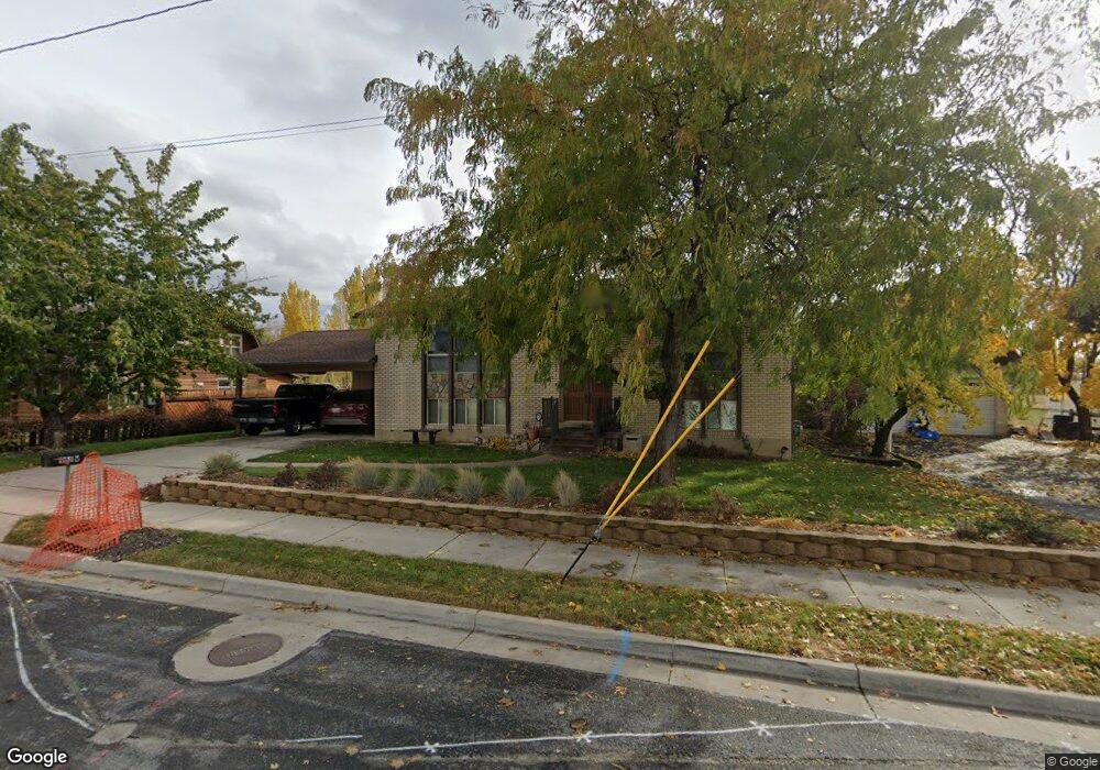
955 W 400 N West Bountiful, UT 84087
Estimated Value: $484,319 - $585,000
3
Beds
1
Bath
1,198
Sq Ft
$440/Sq Ft
Est. Value
About This Home
This home is located at 955 W 400 N, West Bountiful, UT 84087 and is currently estimated at $527,580, approximately $440 per square foot. 955 W 400 N is a home located in Davis County with nearby schools including West Bountiful Elementary School, Bountiful Junior High School, and Viewmont High School.
Ownership History
Date
Name
Owned For
Owner Type
Purchase Details
Closed on
Oct 27, 2022
Sold by
Mitchell Family Trust
Bought by
Lynn And Pamela Mitchell Irrevocable Trust
Current Estimated Value
Purchase Details
Closed on
Nov 3, 2021
Sold by
Mitchell Steven Lynn and Mitchell Pamela Thurston
Bought by
Mitchell Steven Lynn and Mitchell Pamela Thurston
Home Financials for this Owner
Home Financials are based on the most recent Mortgage that was taken out on this home.
Original Mortgage
$150,000
Interest Rate
2.88%
Mortgage Type
Credit Line Revolving
Purchase Details
Closed on
Aug 16, 2006
Sold by
Mitchell Steven Lynn and Mitchell Pamela Thurston
Bought by
Mitchell Steven Lynn and Mitchell Pamela Thurston
Create a Home Valuation Report for This Property
The Home Valuation Report is an in-depth analysis detailing your home's value as well as a comparison with similar homes in the area
Home Values in the Area
Average Home Value in this Area
Purchase History
| Date | Buyer | Sale Price | Title Company |
|---|---|---|---|
| Lynn And Pamela Mitchell Irrevocable Trust | -- | -- | |
| Mitchell Steven Lynn | -- | First American Title | |
| Mitchell Steven Lynn | -- | First American Titl | |
| Mitchell Steven Lynn | -- | None Available |
Source: Public Records
Mortgage History
| Date | Status | Borrower | Loan Amount |
|---|---|---|---|
| Previous Owner | Mitchell Steven Lynn | $150,000 |
Source: Public Records
Tax History
| Year | Tax Paid | Tax Assessment Tax Assessment Total Assessment is a certain percentage of the fair market value that is determined by local assessors to be the total taxable value of land and additions on the property. | Land | Improvement |
|---|---|---|---|---|
| 2025 | $373 | $257,400 | $127,098 | $130,302 |
| 2024 | $408 | $258,500 | $104,969 | $153,531 |
| 2023 | $2,806 | $453,000 | $244,203 | $208,797 |
| 2022 | $2,868 | $259,600 | $120,335 | $139,265 |
| 2021 | $536 | $321,000 | $168,446 | $152,554 |
| 2020 | $2,000 | $270,000 | $151,477 | $118,523 |
| 2019 | $1,950 | $261,000 | $149,113 | $111,887 |
| 2018 | $1,821 | $240,000 | $143,755 | $96,245 |
| 2016 | $1,582 | $114,015 | $43,199 | $70,816 |
| 2015 | $1,413 | $96,745 | $43,199 | $53,546 |
| 2014 | $1,324 | $93,538 | $43,117 | $50,421 |
| 2013 | -- | $103,556 | $35,716 | $67,840 |
Source: Public Records
Map
Nearby Homes
- 350 N 1100 W
- 290 N 500 W Unit 108
- 290 N 500 W Unit 305
- 1059 W Audrey Ln Unit 10
- 1063 W Audrey Ln Unit 9
- 1067 W Audrey Ln Unit 8
- 1075 W Audrey Ln Unit 6
- 1056 W Audrey Ln Unit 14
- 1068 W Audrey Ln Unit 16
- 401 W 400 N Unit 49
- 403 W 400 N Unit 1
- 1084 W Audrey Ln
- 968 S 970 W
- 366 W 1000 N
- 729 W 925 S
- 758 W 1000 S
- 55 N Peregrine Ln W Unit 7
- 563 N 200 W
- 332 N 300 W
- 499 N 200 W Unit 18
Your Personal Tour Guide
Ask me questions while you tour the home.