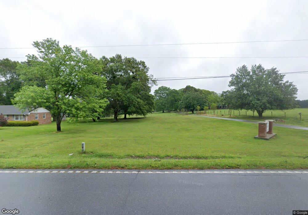
955 Wildcat Bridge Rd Royston, GA 30662
Estimated Value: $309,000
2
Beds
3
Baths
1,729
Sq Ft
$179/Sq Ft
Est. Value
About This Home
This home is located at 955 Wildcat Bridge Rd, Royston, GA 30662 and is currently estimated at $309,000, approximately $178 per square foot. 955 Wildcat Bridge Rd is a home located in Hart County with nearby schools including Hart County High School, Grace Ranch Academy, and Cornerstone Christian Academy.
Ownership History
Date
Name
Owned For
Owner Type
Purchase Details
Closed on
Sep 14, 2018
Sold by
Parham Joe B Sr Estate
Bought by
Hix Ken W and Eastall-Hix Laura A
Current Estimated Value
Home Financials for this Owner
Home Financials are based on the most recent Mortgage that was taken out on this home.
Original Mortgage
$126,000
Outstanding Balance
$74,079
Interest Rate
4.5%
Mortgage Type
New Conventional
Estimated Equity
$234,921
Purchase Details
Closed on
Aug 1, 1962
Create a Home Valuation Report for This Property
The Home Valuation Report is an in-depth analysis detailing your home's value as well as a comparison with similar homes in the area
Home Values in the Area
Average Home Value in this Area
Purchase History
| Date | Buyer | Sale Price | Title Company |
|---|---|---|---|
| Hix Ken W | $180,000 | -- | |
| -- | -- | -- |
Source: Public Records
Mortgage History
| Date | Status | Borrower | Loan Amount |
|---|---|---|---|
| Open | Hix Ken W | $126,000 |
Source: Public Records
Tax History Compared to Growth
Tax History
| Year | Tax Paid | Tax Assessment Tax Assessment Total Assessment is a certain percentage of the fair market value that is determined by local assessors to be the total taxable value of land and additions on the property. | Land | Improvement |
|---|---|---|---|---|
| 2024 | $314 | $20,347 | $20,347 | $0 |
| 2023 | $249 | $14,932 | $14,932 | $0 |
| 2022 | $229 | $13,742 | $13,742 | $0 |
| 2021 | $158 | $8,510 | $8,510 | $0 |
| 2020 | $160 | $8,284 | $8,284 | $0 |
| 2019 | $162 | $8,284 | $8,284 | $0 |
| 2018 | $1,192 | $70,283 | $17,286 | $52,997 |
| 2017 | $1,320 | $76,379 | $23,857 | $52,522 |
| 2016 | $1,262 | $71,508 | $19,216 | $52,292 |
| 2015 | $1,261 | $74,893 | $22,876 | $52,017 |
| 2014 | $1,135 | $67,360 | $16,166 | $51,195 |
| 2013 | -- | $68,580 | $16,165 | $52,414 |
Source: Public Records
Map
Nearby Homes
- 40 Burch St
- 464 Church St
- 0 Wildcat Bridge Rd Unit 23872265
- 0 Wildcat Bridge Rd Unit 10544672
- 121 Cook St
- 527 Daniel St
- 0 Tanglewood S Unit 10538272
- 60 Tanglewood N
- 00 S Tanglewood
- 231 Bowers St
- 2246 Wildcat Bridge Rd
- 240 Bowers St
- 256 Adams Place Rd
- 157 Hartwell St
- 70 Bowers St
- 95 Ext Brad St
- 134 College St
- 48 Brad St
- 110 Bermuda St
- 603 Springdale Dr
- 921 Wildcat Bridge Rd
- 167 Windy Hill Rd
- 940 Wildcat Bridge Rd
- 848 Wildcat Bridge Rd
- 0 Windy Hill Rd Unit 8130249
- 0 Windy Hill Rd Unit 8355608
- 170 Windy Hill Rd
- 1040 Wildcat Bridge Rd
- 1037 Wildcat Bridge Rd
- 817 Wildcat Bridge Rd
- 311 Windy Hill Rd
- 226 Windy Hill Rd
- 1108 Wildcat Bridge Rd
- 397 Windy Hill Rd
- 1146 Wildcat Bridge Rd
- 316 Windy Hill Rd
- 357 Windy Hill Rd
- 722 Wildcat Bridge Rd
- 374 Windy Hill Rd
- 844 Wildcat Bridge Rd