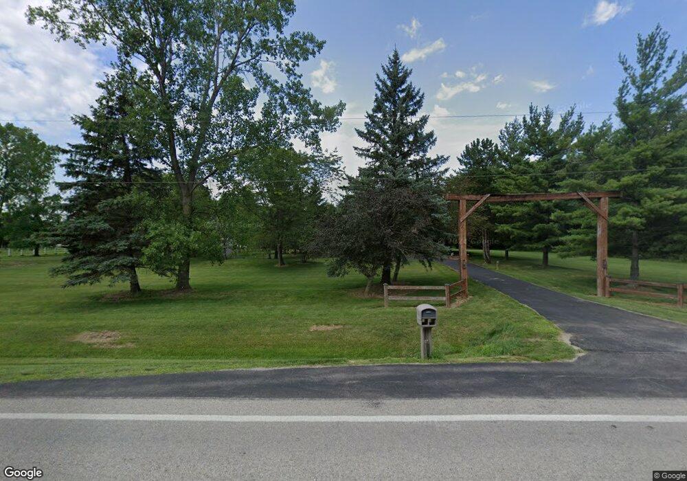
9551 W State Route 185 Covington, OH 45318
Estimated Value: $410,000 - $525,326
3
Beds
3
Baths
3,224
Sq Ft
$150/Sq Ft
Est. Value
About This Home
This home is located at 9551 W State Route 185, Covington, OH 45318 and is currently estimated at $483,332, approximately $149 per square foot. 9551 W State Route 185 is a home located in Miami County with nearby schools including Covington Elementary/Junior High School, Covington Junior High School, and Covington High School.
Ownership History
Date
Name
Owned For
Owner Type
Purchase Details
Closed on
Jun 26, 2014
Sold by
Ventura Ronald A and Ventura Jill K
Bought by
Kunkle Shawn Ew and Kunkle Kimberly K
Current Estimated Value
Home Financials for this Owner
Home Financials are based on the most recent Mortgage that was taken out on this home.
Original Mortgage
$130,000
Outstanding Balance
$70,597
Interest Rate
4.11%
Mortgage Type
New Conventional
Estimated Equity
$412,735
Purchase Details
Closed on
Feb 25, 1991
Bought by
Ventura Ronald A
Create a Home Valuation Report for This Property
The Home Valuation Report is an in-depth analysis detailing your home's value as well as a comparison with similar homes in the area
Home Values in the Area
Average Home Value in this Area
Purchase History
| Date | Buyer | Sale Price | Title Company |
|---|---|---|---|
| Kunkle Shawn Ew | $254,900 | Attorney | |
| Ventura Ronald A | -- | -- |
Source: Public Records
Mortgage History
| Date | Status | Borrower | Loan Amount |
|---|---|---|---|
| Open | Kunkle Shawn Ew | $130,000 |
Source: Public Records
Tax History Compared to Growth
Tax History
| Year | Tax Paid | Tax Assessment Tax Assessment Total Assessment is a certain percentage of the fair market value that is determined by local assessors to be the total taxable value of land and additions on the property. | Land | Improvement |
|---|---|---|---|---|
| 2024 | $4,418 | $131,780 | $26,850 | $104,930 |
| 2023 | $4,418 | $131,780 | $26,850 | $104,930 |
| 2022 | $4,475 | $131,780 | $26,850 | $104,930 |
| 2021 | $3,687 | $101,360 | $20,650 | $80,710 |
| 2020 | $3,695 | $101,360 | $20,650 | $80,710 |
| 2019 | $3,685 | $101,360 | $20,650 | $80,710 |
| 2018 | $2,580 | $72,380 | $15,540 | $56,840 |
| 2017 | $2,632 | $72,380 | $15,540 | $56,840 |
| 2016 | $2,526 | $72,380 | $15,540 | $56,840 |
| 2015 | $2,093 | $68,290 | $14,670 | $53,620 |
| 2014 | $2,093 | $68,290 | $14,670 | $53,620 |
| 2013 | $2,104 | $68,290 | $14,670 | $53,620 |
Source: Public Records
Map
Nearby Homes
- 7648 Piqua-Clayton Rd
- 731 N Pearl St
- 9145 W US Route 36
- 501 N Main St Unit C1
- 330 Liberty St
- 124 E Keller St
- 520 N Pearl St
- 310 E Main St
- 10770 U S 36
- 133 W Broadway St
- 320 E Church St
- 235 E Church St
- 219 E Church St
- 324 E Elm St
- 124 N Main St
- 698 E Broadway St
- 271 N Ludlow St
- 427 S Miami Ave
- 231 E Vine St
- 6110 Ohio 185
- 9629 W State Route 185
- 9665 W State Route 185
- 9733 W State Route 185
- 9733 Ohio 185
- 9860 W State Route 185
- 9911 Ohio 185
- 9911 W State Route 185
- 9610 W Union Church Rd
- 8656 N Rangeline Rd
- 9395 W Union Church Rd
- 8822 N Rangeline Rd
- 8360 N Rangeline Rd
- 9225 W Union Church Rd
- 8970 W State Route 185
- 8385 Rakestraw Rd
- 6245 Rakestraw Rd
- 10140 W State Route 185
- 8725 N Rangeline Rd
- 8865 N Rangeline Rd
- 8899 N Rangeline Rd
