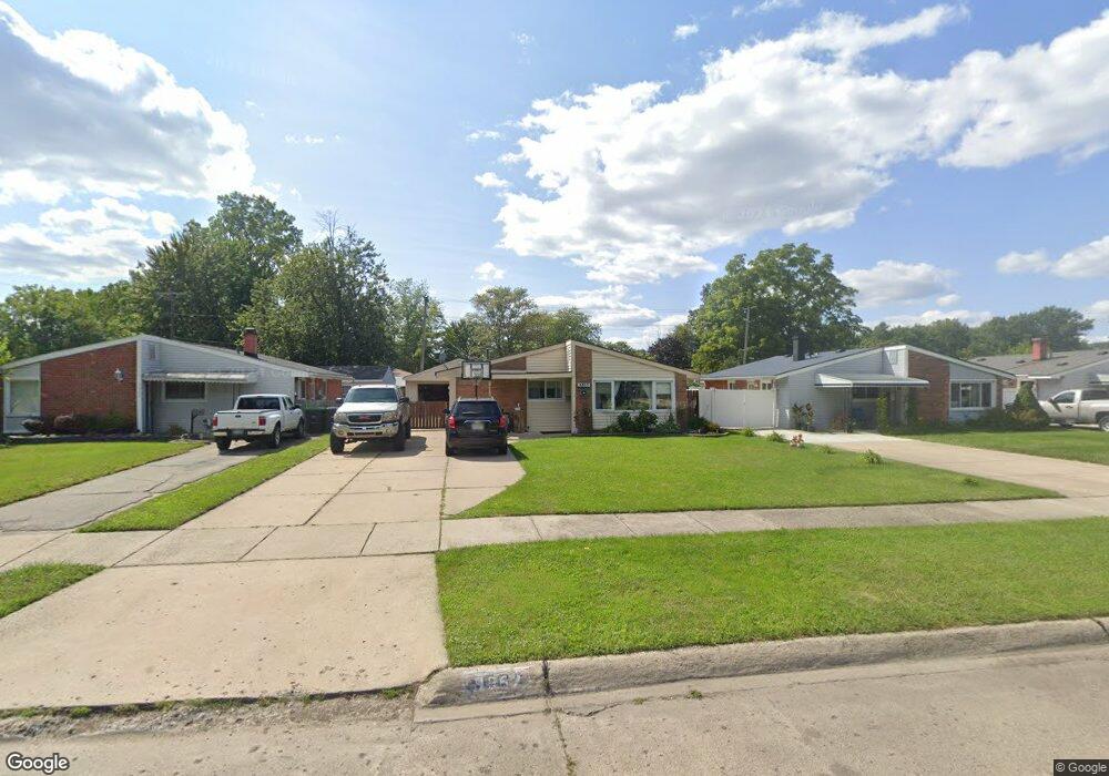
9552 Polk St Taylor, MI 48180
Estimated Value: $157,000 - $172,962
3
Beds
1
Bath
1,079
Sq Ft
$153/Sq Ft
Est. Value
About This Home
This home is located at 9552 Polk St, Taylor, MI 48180 and is currently estimated at $164,741, approximately $152 per square foot. 9552 Polk St is a home located in Wayne County with nearby schools including Blair Moody Elementary School, Robert J. West Middle School, and Taylor Preparatory High School.
Ownership History
Date
Name
Owned For
Owner Type
Purchase Details
Closed on
Apr 14, 2011
Sold by
Secretary Of Housing & Urban Development
Bought by
Damron Joshua
Current Estimated Value
Purchase Details
Closed on
Aug 25, 2010
Sold by
Suntrust Mortgage Inc
Bought by
The Secretary Of Housing & Urban Develop
Purchase Details
Closed on
Feb 24, 2010
Sold by
Hicks Susan L
Bought by
Suntrust Mortgage Inc
Purchase Details
Closed on
May 24, 2004
Sold by
Adams Eddie Steven
Bought by
Hicks Susan L
Purchase Details
Closed on
Feb 22, 2000
Sold by
Metz Kenneth R
Bought by
Adams Eddie S
Create a Home Valuation Report for This Property
The Home Valuation Report is an in-depth analysis detailing your home's value as well as a comparison with similar homes in the area
Home Values in the Area
Average Home Value in this Area
Purchase History
| Date | Buyer | Sale Price | Title Company |
|---|---|---|---|
| Damron Joshua | $25,000 | None Available | |
| The Secretary Of Housing & Urban Develop | -- | None Available | |
| Suntrust Mortgage Inc | $123,655 | None Available | |
| Hicks Susan L | $118,900 | Multiple | |
| Adams Eddie S | $55,000 | -- |
Source: Public Records
Tax History
| Year | Tax Paid | Tax Assessment Tax Assessment Total Assessment is a certain percentage of the fair market value that is determined by local assessors to be the total taxable value of land and additions on the property. | Land | Improvement |
|---|---|---|---|---|
| 2025 | $1,496 | $82,400 | $0 | $0 |
| 2024 | $1,449 | $77,000 | $0 | $0 |
| 2023 | $1,737 | $63,200 | $0 | $0 |
| 2022 | $1,382 | $55,500 | $0 | $0 |
| 2021 | $2,046 | $50,900 | $0 | $0 |
| 2020 | $1,605 | $44,900 | $0 | $0 |
| 2019 | $151,072 | $41,000 | $0 | $0 |
| 2018 | $1,187 | $32,700 | $0 | $0 |
| 2017 | $656 | $32,700 | $0 | $0 |
| 2016 | $1,475 | $31,800 | $0 | $0 |
| 2015 | $2,682 | $27,000 | $0 | $0 |
| 2013 | $2,670 | $27,200 | $0 | $0 |
| 2012 | $1,179 | $27,300 | $8,400 | $18,900 |
Source: Public Records
Map
Nearby Homes
- 9444 Polk St
- 21059 Wick Rd
- 20812 Wick Rd
- 9134 Weddel St
- 10219 Island Lake Dr
- 9127 Weddel St
- 9640 Dudley St
- 20548 Lockwood St
- 8953 William St
- 9949 Allen Pointe Dr Unit 14
- 10652 Mortenview Dr
- 10578 Island Lake Dr
- 9720 Seavitt Dr
- 9768 Seavitt Dr
- 9223 Roosevelt St
- 9687 Seavitt Dr
- 9883 Roosevelt St
- 22150 Haig St
- 22134 Wick Rd
- 18650 Grey Ave
Your Personal Tour Guide
Ask me questions while you tour the home.