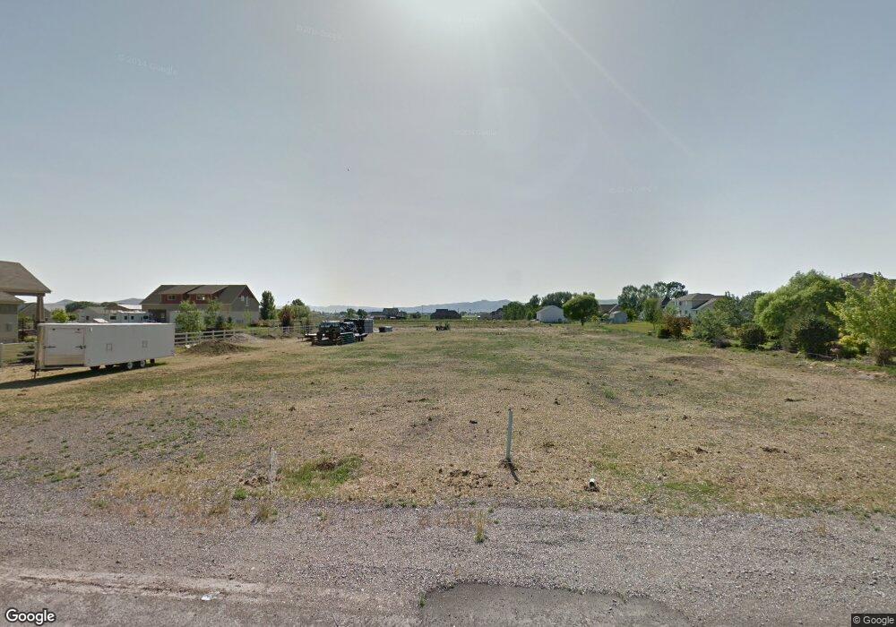
9555 N 4200 W Tremonton, UT 84337
Estimated Value: $632,000 - $806,000
--
Bed
--
Bath
--
Sq Ft
1.27
Acres
About This Home
This home is located at 9555 N 4200 W, Tremonton, UT 84337 and is currently estimated at $720,608. 9555 N 4200 W is a home with nearby schools including McKinley School, Bear River Middle School, and Alice C. Harris Intermediate School.
Ownership History
Date
Name
Owned For
Owner Type
Purchase Details
Closed on
Mar 11, 2016
Sold by
Ravsten Clinton and Ravsten Lola
Bought by
Nielsen Darwin A and Nielsen Laurie Z
Current Estimated Value
Purchase Details
Closed on
Mar 9, 2016
Sold by
Ravsten Clinton and Ravsten Lola
Bought by
Nielsen Darwin A and Nielsen Laurie Z
Purchase Details
Closed on
Jul 22, 2010
Sold by
Ravsten Clinton and Ravsten Lola
Bought by
Ravsten Clinton and Ravsten Lola
Purchase Details
Closed on
Oct 30, 2007
Sold by
Ravsten Lola R and Romer Linda
Bought by
Ravestein Clinton and Ravestein Lola
Create a Home Valuation Report for This Property
The Home Valuation Report is an in-depth analysis detailing your home's value as well as a comparison with similar homes in the area
Home Values in the Area
Average Home Value in this Area
Purchase History
| Date | Buyer | Sale Price | Title Company |
|---|---|---|---|
| Nielsen Darwin A | -- | Northern Title Company | |
| Ravsten Clinton | -- | Northern Title Company | |
| Nielsen Darwin A | -- | Northern Title Company | |
| Ravsten Clinton | -- | -- | |
| Ravestein Clinton | -- | None Available |
Source: Public Records
Tax History Compared to Growth
Tax History
| Year | Tax Paid | Tax Assessment Tax Assessment Total Assessment is a certain percentage of the fair market value that is determined by local assessors to be the total taxable value of land and additions on the property. | Land | Improvement |
|---|---|---|---|---|
| 2025 | $3,351 | $704,759 | $138,100 | $566,659 |
| 2024 | $3,351 | $709,385 | $136,100 | $573,285 |
| 2023 | $3,491 | $758,461 | $138,240 | $620,221 |
| 2022 | $3,414 | $378,650 | $29,282 | $349,368 |
| 2021 | $2,948 | $512,254 | $53,240 | $459,014 |
| 2020 | $2,971 | $512,254 | $53,240 | $459,014 |
| 2019 | $2,796 | $6,480 | $3,240 | $3,240 |
| 2018 | $2,979 | $252,054 | $22,200 | $229,854 |
| 2017 | $2,032 | $299,507 | $22,200 | $261,352 |
| 2016 | $481 | $38,155 | $38,155 | $0 |
| 2015 | $490 | $38,155 | $38,155 | $0 |
| 2014 | $490 | $38,155 | $38,155 | $0 |
| 2013 | -- | $38,155 | $35,955 | $2,200 |
Source: Public Records
Map
Nearby Homes
- 4693 W 9120 N
- 9449 N Powerline Rd Unit 2
- 9605 N Highway 38
- 8325 N 3600 W
- 9290 N 5600 W Unit 5
- 9480 N 5600 W
- 9270 N 5600 W Unit 7
- Emerson 1797 Plan at The Estates At Riverview - The Estates
- Ridge Plan at The Estates At Riverview - The Estates
- 8185 N 4600 W
- 4677 W 8100 N
- 9190 N 6000 W
- 10135 N Highway 38
- 1215 S 100 E
- 50 E 1225 S
- Harvest Village Plan at Harvest Village Townhome Community - Harvest Village
- 9835 N Highway 38 Unit 11
- 9791 N Highway 38 Unit 10
- 9743 N Highway 38 Unit 8
- 181 W 1300 S Unit 31