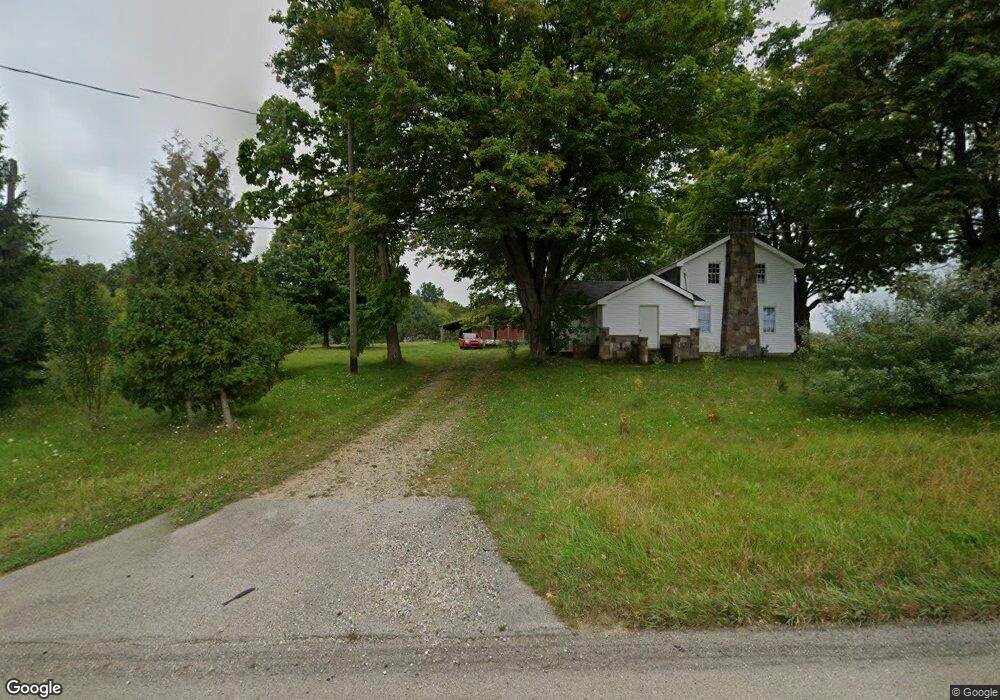
9557 Spring Arbor Rd Spring Arbor, MI 49283
Estimated Value: $193,162 - $341,000
Studio
--
Bath
1,804
Sq Ft
$139/Sq Ft
Est. Value
About This Home
This home is located at 9557 Spring Arbor Rd, Spring Arbor, MI 49283 and is currently estimated at $250,291, approximately $138 per square foot. 9557 Spring Arbor Rd is a home located in Jackson County with nearby schools including Concord Elementary School, Concord Middle School, and Concord High School.
Ownership History
Date
Name
Owned For
Owner Type
Purchase Details
Closed on
May 15, 2000
Sold by
Reynolds James E and Reynolds Elena M
Bought by
Stair Joseph C
Current Estimated Value
Home Financials for this Owner
Home Financials are based on the most recent Mortgage that was taken out on this home.
Original Mortgage
$103,200
Outstanding Balance
$35,832
Interest Rate
8.21%
Estimated Equity
$214,459
Purchase Details
Closed on
Jun 10, 1997
Bought by
Reynolds James E and Reynolds Elena
Create a Home Valuation Report for This Property
The Home Valuation Report is an in-depth analysis detailing your home's value as well as a comparison with similar homes in the area
Purchase History
| Date | Buyer | Sale Price | Title Company |
|---|---|---|---|
| Stair Joseph C | $129,000 | -- | |
| Reynolds James E | $95,000 | -- |
Source: Public Records
Mortgage History
| Date | Status | Borrower | Loan Amount |
|---|---|---|---|
| Open | Stair Joseph C | $103,200 |
Source: Public Records
Tax History
| Year | Tax Paid | Tax Assessment Tax Assessment Total Assessment is a certain percentage of the fair market value that is determined by local assessors to be the total taxable value of land and additions on the property. | Land | Improvement |
|---|---|---|---|---|
| 2025 | $2,452 | $90,800 | $0 | $0 |
| 2024 | $15 | $86,800 | $0 | $0 |
| 2023 | $1,455 | $80,100 | $0 | $0 |
| 2022 | $2,225 | $77,300 | $0 | $0 |
| 2021 | $2,184 | $75,160 | $0 | $0 |
| 2020 | $2,158 | $78,540 | $0 | $0 |
| 2019 | $2,052 | $72,020 | $0 | $0 |
| 2018 | $2,044 | $67,660 | $12,550 | $55,110 |
| 2017 | $1,936 | $65,330 | $0 | $0 |
| 2016 | $1,236 | $65,380 | $65,380 | $0 |
| 2015 | $50,789 | $60,220 | $60,220 | $0 |
| 2014 | $50,789 | $52,730 | $0 | $0 |
| 2013 | -- | $52,730 | $52,730 | $0 |
Source: Public Records
Map
Nearby Homes
- 68 Dickens St
- 2635 S Dearing Rd
- 2625 S Dearing Rd
- 7315 King Rd
- V/L S Dearing Rd Unit 40 Acres Vacant Land
- 7969 Brandon Dr
- 2503 Milford Rd
- 7870 Sears Rd
- 6728 King Rd
- 20 AC VL Sears Rd
- 0 S Parma Rd Unit 26002151
- 0 S Parma Rd Unit 26002152
- 6820 Bowerman Rd
- 1570 Chapel Rd
- 5454 Vrooman Rd
- 5427 Vrooman Rd
- 1126 Chapel Rd
- 731 Sears Rd
- 125 Coxon St
- 228 Eastlawn
- 4420 Mathews Rd
- VL Spring Arbor Road Parcel 3 Rd
- VL Spring Arbor Rd Parcel 2 Rd
- VL Spring Arbor Parcel 1 Rd
- 9495 Spring Arbor Rd
- 4442 Mathews Rd
- 4435 Mathews Rd
- 4448 Mathews Rd
- 4441 Mathews Rd
- 9423 Spring Arbor Rd
- 4449 Mathews Rd
- 9420 Spring Arbor Rd
- 4520 Mathews Rd
- 9373 Spring Arbor Rd
- 9360 Spring Arbor Rd
- 4530 Mathews Rd
- 7437 Mathews Rd
- VL Mathews Rd
- V/L Mathews Rd
- 4031 Mathews Rd
Your Personal Tour Guide
Ask me questions while you tour the home.