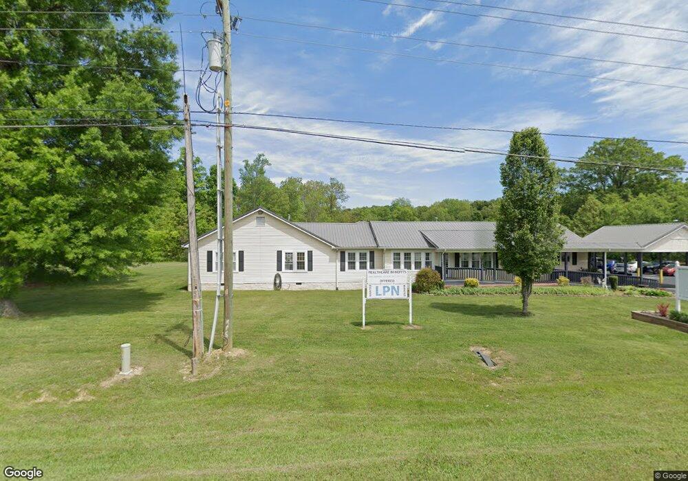
9558 N Highway 27 Rock Spring, GA 30739
Rock Spring NeighborhoodEstimated Value: $162,000 - $177,000
4
Beds
2
Baths
2,290
Sq Ft
$74/Sq Ft
Est. Value
About This Home
This home is located at 9558 N Highway 27, Rock Spring, GA 30739 and is currently estimated at $169,500, approximately $74 per square foot. 9558 N Highway 27 is a home located in Walker County with nearby schools including Lafayette High School and Oakwood Christian Academy.
Ownership History
Date
Name
Owned For
Owner Type
Purchase Details
Closed on
Sep 9, 2020
Sold by
Simpson Carolyn Janetta
Bought by
Jimmy Simpson Foundation Inc
Current Estimated Value
Purchase Details
Closed on
Oct 29, 1997
Sold by
Dickerson Ted L and Dickerson Debra K
Bought by
Simpson Carolyn J
Purchase Details
Closed on
Oct 16, 1989
Sold by
M Coulter R
Bought by
Dickerson Ted L and Dickerson Debra K
Purchase Details
Closed on
Jan 1, 1972
Bought by
M Coulter R
Create a Home Valuation Report for This Property
The Home Valuation Report is an in-depth analysis detailing your home's value as well as a comparison with similar homes in the area
Home Values in the Area
Average Home Value in this Area
Purchase History
| Date | Buyer | Sale Price | Title Company |
|---|---|---|---|
| Jimmy Simpson Foundation Inc | $350,000 | -- | |
| Simpson Carolyn J | $115,000 | -- | |
| Dickerson Ted L | $67,900 | -- | |
| M Coulter R | -- | -- |
Source: Public Records
Tax History Compared to Growth
Tax History
| Year | Tax Paid | Tax Assessment Tax Assessment Total Assessment is a certain percentage of the fair market value that is determined by local assessors to be the total taxable value of land and additions on the property. | Land | Improvement |
|---|---|---|---|---|
| 2024 | $5,911 | $262,254 | $106,210 | $156,044 |
| 2023 | $4,585 | $15,688 | $0 | $15,688 |
| 2022 | $5,003 | $197,371 | $81,700 | $115,671 |
| 2021 | $5,515 | $198,199 | $82,680 | $115,519 |
| 2020 | $6,152 | $214,845 | $82,680 | $132,165 |
| 2019 | $6,267 | $214,845 | $82,680 | $132,165 |
| 2018 | $9,953 | $376,170 | $244,005 | $132,165 |
| 2017 | $6,855 | $214,845 | $82,680 | $132,165 |
| 2016 | $5,457 | $214,845 | $82,680 | $132,165 |
| 2015 | $4,057 | $148,068 | $47,176 | $100,892 |
| 2014 | $3,836 | $148,068 | $47,176 | $100,892 |
| 2013 | -- | $148,067 | $47,176 | $100,891 |
Source: Public Records
Map
Nearby Homes
- 1121 Arnold Rd
- 1476 Arnold Rd
- 100 Deer Ridge Ln
- 103 Deer Ridge Ln
- 200 Hunting Ridge Cir
- 140 Fieldstone Commons
- 124 Fieldstone Commons
- 788 Long Hollow Rd
- 28 Cobblestone Trail
- 195 Honeysuckle Dr
- 514 Ginger Lake Dr
- 1902 Long Hollow Rd
- 269 Quartz Dr
- 283 Quartz Dr
- 136 Ginger Lake Dr
- 149 Stone Throw Ln
- 135 Stone Throw Ln
- 74 Sycamore Dr
- 183 Long Hollow Rd
- 294 E Long Hollow Rd
- 9558 U S 27
- 9588 N Highway 27
- 9522 N Highway 27
- 9522 N Highway 27
- 9490 N Highway 27
- 9627 N Highway 27
- 9627 U S 27
- 9622 N Highway 27
- 9622 N Highway 27
- 9458 N Highway 27
- 9458 Us Highway 27
- 9 W Turnipseed Rd
- 41 E Turnipseed Rd
- 71 E Turnipseed Rd
- 99 E Turnipseed Rd
- 129 E Turnipseed Rd
- 66 E Turnipseed Rd
- 161 E Turnipseed Rd
- 27 N Highway Hwy
- 193 E Turnipseed Rd