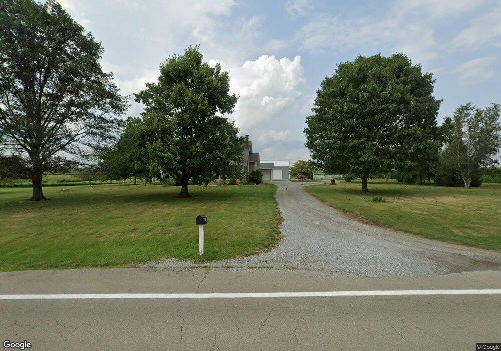
9559 State Route 28 New Vienna, OH 45159
Estimated Value: $269,000 - $470,276
5
Beds
2
Baths
2,436
Sq Ft
$158/Sq Ft
Est. Value
About This Home
This home is located at 9559 State Route 28, New Vienna, OH 45159 and is currently estimated at $385,069, approximately $158 per square foot. 9559 State Route 28 is a home located in Clinton County with nearby schools including East Clinton High School.
Ownership History
Date
Name
Owned For
Owner Type
Purchase Details
Closed on
Sep 15, 2010
Sold by
Heeg Gary L and Heeg Ruth A
Bought by
Ross Gregory P and Ross Kelly E
Current Estimated Value
Home Financials for this Owner
Home Financials are based on the most recent Mortgage that was taken out on this home.
Original Mortgage
$175,000
Outstanding Balance
$115,851
Interest Rate
4.49%
Estimated Equity
$269,218
Purchase Details
Closed on
May 30, 1996
Bought by
Heeg Gary L
Create a Home Valuation Report for This Property
The Home Valuation Report is an in-depth analysis detailing your home's value as well as a comparison with similar homes in the area
Home Values in the Area
Average Home Value in this Area
Purchase History
| Date | Buyer | Sale Price | Title Company |
|---|---|---|---|
| Ross Gregory P | -- | -- | |
| Heeg Gary L | $138,000 | -- |
Source: Public Records
Mortgage History
| Date | Status | Borrower | Loan Amount |
|---|---|---|---|
| Open | Ross Gregory P | $175,000 |
Source: Public Records
Tax History Compared to Growth
Tax History
| Year | Tax Paid | Tax Assessment Tax Assessment Total Assessment is a certain percentage of the fair market value that is determined by local assessors to be the total taxable value of land and additions on the property. | Land | Improvement |
|---|---|---|---|---|
| 2024 | $4,255 | $116,310 | $28,390 | $87,920 |
| 2023 | $4,255 | $116,310 | $28,390 | $87,920 |
| 2022 | $4,004 | $87,040 | $13,040 | $74,000 |
| 2021 | $4,041 | $87,040 | $13,040 | $74,000 |
| 2020 | $3,990 | $87,040 | $13,040 | $74,000 |
| 2019 | $3,368 | $71,360 | $13,040 | $58,320 |
| 2018 | $3,189 | $71,360 | $13,040 | $58,320 |
| 2017 | $2,672 | $71,360 | $13,040 | $58,320 |
| 2016 | $2,434 | $65,150 | $12,050 | $53,100 |
| 2015 | $2,344 | $65,150 | $12,050 | $53,100 |
| 2013 | $2,409 | $64,120 | $11,020 | $53,100 |
Source: Public Records
Map
Nearby Homes
- 62 Kings Ct
- 1529 Hildebrant Rd
- 392 Romans Rd
- 0 Hildebrant Rd Unit 1856809
- 5891 Farmers Rd
- 0 E Fork Rd Unit 1842519
- 0 E Fork Rd Unit 1829555
- 1056 West Rd
- 208 Dorothy Ln
- 429 Cumberland Rd
- 13287 State Route 729
- 57 Kings Ct
- 3657 Farmers Rd
- 10035 Wolfe Rd
- 822 Bernard Rd
- 89 E Main St
- 67 Sweet St
- 13 S High St
- 6081 Panhandle Rd
- 2457 Martinsville Rd
- 9662 State Route 28
- 9440 State Route 28
- 9422 State Route 28
- 9422 St Rt 28
- 9366 State Route 28
- 9298 State Route 28
- 9236 State Route 28
- 1038 E Fork Rd
- 4.2ac E Fork Rd
- 5.323ac E Fork Rd
- 10004 St Rt 28
- 10004 Sr 28
- 10004 State Route 28
- 2000 E Fork Rd
- 9130 State Route 28
- 9130 State Route 28
- 9087 State Route 28
- 1435 E Fork Rd
- 9080 State Route 28
- 9080 St Rt 28