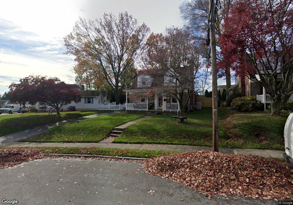
956 Sara Dr Springfield, PA 19064
Estimated Value: $434,000 - $490,000
3
Beds
2
Baths
1,422
Sq Ft
$319/Sq Ft
Est. Value
About This Home
This home is located at 956 Sara Dr, Springfield, PA 19064 and is currently estimated at $453,634, approximately $319 per square foot. 956 Sara Dr is a home located in Delaware County with nearby schools including Springfield High School, St Francis Of Assisi School, and Holy Cross School.
Ownership History
Date
Name
Owned For
Owner Type
Purchase Details
Closed on
Feb 6, 2001
Sold by
Rogers Joseph W and Rogers Margaret M
Bought by
Kent Patrick F and Kent Tiffany A
Current Estimated Value
Home Financials for this Owner
Home Financials are based on the most recent Mortgage that was taken out on this home.
Original Mortgage
$148,000
Outstanding Balance
$50,920
Interest Rate
7.13%
Estimated Equity
$402,714
Create a Home Valuation Report for This Property
The Home Valuation Report is an in-depth analysis detailing your home's value as well as a comparison with similar homes in the area
Home Values in the Area
Average Home Value in this Area
Purchase History
| Date | Buyer | Sale Price | Title Company |
|---|---|---|---|
| Kent Patrick F | $171,000 | -- |
Source: Public Records
Mortgage History
| Date | Status | Borrower | Loan Amount |
|---|---|---|---|
| Open | Kent Patrick F | $148,000 |
Source: Public Records
Tax History
| Year | Tax Paid | Tax Assessment Tax Assessment Total Assessment is a certain percentage of the fair market value that is determined by local assessors to be the total taxable value of land and additions on the property. | Land | Improvement |
|---|---|---|---|---|
| 2025 | $7,287 | $259,260 | $98,190 | $161,070 |
| 2024 | $7,287 | $259,260 | $98,190 | $161,070 |
| 2023 | $7,017 | $259,260 | $98,190 | $161,070 |
| 2022 | $6,865 | $259,260 | $98,190 | $161,070 |
| 2021 | $10,631 | $259,260 | $98,190 | $161,070 |
| 2020 | $6,488 | $143,170 | $49,090 | $94,080 |
| 2019 | $6,335 | $143,170 | $49,090 | $94,080 |
| 2018 | $6,245 | $143,170 | $0 | $0 |
| 2017 | $6,100 | $143,170 | $0 | $0 |
| 2016 | $786 | $143,170 | $0 | $0 |
| 2015 | $802 | $143,170 | $0 | $0 |
| 2014 | $802 | $143,170 | $0 | $0 |
Source: Public Records
Map
Nearby Homes
- 978 Westfield Rd
- 114 Providence Rd
- 507 School St
- 111 Broad St
- 658 E Leamy Ave
- 933 Greenbriar Ln
- 202-203 Sycamore Ave
- 1022 Crozer Ln
- 838 West Ave
- 7 & 0 Woodland Ave
- 2 Yale Ave
- 332 Franklin Ave
- 1015 Mitchell Ave
- 2379 Mole Rd
- 880 Quaint St
- 2143 Haig Ave
- 21 Faraday Ct
- 173 Rambling Way
- 227 E Leamy Ave
- 514 Springview Ln
Your Personal Tour Guide
Ask me questions while you tour the home.