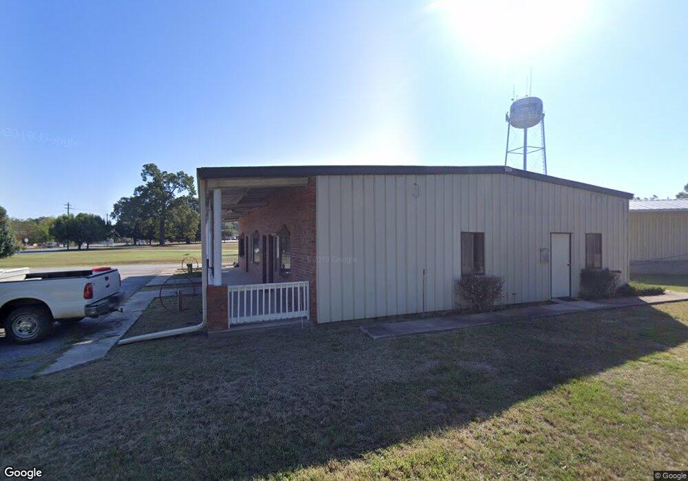
9560 Highway 18 W Concord, GA 30206
Estimated Value: $142,380
--
Bed
--
Bath
2,400
Sq Ft
$59/Sq Ft
Est. Value
About This Home
This home is located at 9560 Highway 18 W, Concord, GA 30206 and is currently estimated at $142,380, approximately $59 per square foot. 9560 Highway 18 W is a home located in Pike County with nearby schools including Pike County Primary School, Pike County Elementary School, and Pike County Middle School.
Ownership History
Date
Name
Owned For
Owner Type
Purchase Details
Closed on
Sep 25, 2019
Sold by
Guy Timothy C
Bought by
Neath Douglas J and Neath Anita G
Current Estimated Value
Home Financials for this Owner
Home Financials are based on the most recent Mortgage that was taken out on this home.
Original Mortgage
$56,441
Interest Rate
3.5%
Mortgage Type
New Conventional
Purchase Details
Closed on
Jun 16, 2016
Sold by
Bistany Edward J
Bought by
Guy Timothy C
Home Financials for this Owner
Home Financials are based on the most recent Mortgage that was taken out on this home.
Original Mortgage
$75,064
Interest Rate
3.58%
Mortgage Type
Commercial
Purchase Details
Closed on
Feb 1, 2011
Sold by
Askew Alton B
Bought by
Askew Charles Bonner
Purchase Details
Closed on
Jun 24, 2008
Sold by
J Shammah Inc
Bought by
Bistany Edward J and Askew Alton B
Create a Home Valuation Report for This Property
The Home Valuation Report is an in-depth analysis detailing your home's value as well as a comparison with similar homes in the area
Home Values in the Area
Average Home Value in this Area
Purchase History
| Date | Buyer | Sale Price | Title Company |
|---|---|---|---|
| Neath Douglas J | $85,000 | -- | |
| Guy Timothy C | $80,000 | -- | |
| Askew Charles Bonner | -- | -- | |
| Bistany Edward J | $180,000 | -- |
Source: Public Records
Mortgage History
| Date | Status | Borrower | Loan Amount |
|---|---|---|---|
| Closed | Neath Douglas J | $56,441 | |
| Previous Owner | Guy Timothy C | $75,064 |
Source: Public Records
Tax History Compared to Growth
Tax History
| Year | Tax Paid | Tax Assessment Tax Assessment Total Assessment is a certain percentage of the fair market value that is determined by local assessors to be the total taxable value of land and additions on the property. | Land | Improvement |
|---|---|---|---|---|
| 2024 | $1,006 | $34,044 | $9,287 | $24,757 |
| 2023 | $1,193 | $34,044 | $9,287 | $24,757 |
| 2022 | $988 | $34,044 | $9,287 | $24,757 |
| 2021 | $1,022 | $34,044 | $9,287 | $24,757 |
| 2020 | $1,355 | $44,606 | $5,320 | $39,286 |
| 2019 | $1,544 | $44,712 | $5,320 | $39,392 |
| 2018 | $1,545 | $44,712 | $5,320 | $39,392 |
| 2017 | $1,097 | $44,712 | $5,320 | $39,392 |
| 2016 | $1,410 | $44,342 | $5,320 | $39,022 |
| 2015 | $1,343 | $44,342 | $5,320 | $39,022 |
| 2014 | $1,362 | $44,342 | $5,320 | $39,022 |
| 2013 | -- | $44,341 | $5,320 | $39,021 |
Source: Public Records
Map
Nearby Homes
- L-8 Strickland Rd
- 10000 Highway 18 W
- LOT 12 Flint Farms Dr
- 184 Flint Farms Dr
- 243 Flint Farms Dr
- 126 Flint Farms Dr
- LOT 11 Flint Farms Dr
- TRACT 5 Bates Rd (13 98acs)
- 1337 Green St
- TRACT 2 Bates Rd (56 99acs)
- TRACT 1 Bates Rd (14 05acs)
- 0 W Fossett Rd Unit 10629253
- 3.39 ACRES Caldwell Bridge Rd
- 764 Bates Rd (228 96acs)
- TRACT 6 & 7 Bates Rd (47 4acs)
- 0 West Rd Unit 10536330
- 0 West Rd Unit 10541322
- 2246 Concord Rd
- 0 Green St Unit 20083878
- 1579 Bates Rd
- 9560 Georgia 18
- 9540 Highway 18 W
- 9596 Highway 18 W
- 9596 Georgia 18
- 9500 Highway 18 W
- 280 Harris St
- 0 2nd St Unit 7526264
- 0 2nd St Unit 8826682
- 1388 Hill St
- 308 Harris St
- 1422 Hill St
- 291 Harris St
- 9470 Highway 18 W
- 1466 Hill St
- 325 Harris St
- 60 Milner St
- S Concord St
- 9444 Highway 18 W
- 323 Harris St
- 127 Society St