9561 Highway 270 E Sheridan, AR 72150
Estimated Value: $324,000 - $334,000
3
Beds
2
Baths
2,281
Sq Ft
$144/Sq Ft
Est. Value
About This Home
This home is located at 9561 Highway 270 E, Sheridan, AR 72150 and is currently estimated at $329,464, approximately $144 per square foot. 9561 Highway 270 E is a home located in Grant County with nearby schools including Sheridan High School.
Ownership History
Date
Name
Owned For
Owner Type
Purchase Details
Closed on
Apr 23, 2024
Sold by
Earnhart John
Bought by
Ar State Highway Commission
Current Estimated Value
Purchase Details
Closed on
Dec 23, 2010
Sold by
Federal National Mortgage Association
Bought by
Earnhart John and Earnhart Megan
Home Financials for this Owner
Home Financials are based on the most recent Mortgage that was taken out on this home.
Original Mortgage
$111,435
Interest Rate
4.36%
Mortgage Type
New Conventional
Purchase Details
Closed on
Jul 31, 2007
Sold by
Godwin & Clark Llc
Bought by
Rodgers Rufus Lavon and Rodgers Sherry
Home Financials for this Owner
Home Financials are based on the most recent Mortgage that was taken out on this home.
Original Mortgage
$207,500
Interest Rate
6.64%
Mortgage Type
New Conventional
Create a Home Valuation Report for This Property
The Home Valuation Report is an in-depth analysis detailing your home's value as well as a comparison with similar homes in the area
Home Values in the Area
Average Home Value in this Area
Purchase History
| Date | Buyer | Sale Price | Title Company |
|---|---|---|---|
| Ar State Highway Commission | $1,150 | None Listed On Document | |
| Earnhart John | -- | Stewart Title Of Arkansas | |
| Rodgers Rufus Lavon | $208,000 | Stewart Title Of Arkansas |
Source: Public Records
Mortgage History
| Date | Status | Borrower | Loan Amount |
|---|---|---|---|
| Previous Owner | Earnhart John | $111,435 | |
| Previous Owner | Rodgers Rufus Lavon | $207,500 | |
| Previous Owner | Rodgers Rufus Lavon | $167,966 |
Source: Public Records
Tax History Compared to Growth
Tax History
| Year | Tax Paid | Tax Assessment Tax Assessment Total Assessment is a certain percentage of the fair market value that is determined by local assessors to be the total taxable value of land and additions on the property. | Land | Improvement |
|---|---|---|---|---|
| 2024 | $1,997 | $44,510 | $7,000 | $37,510 |
| 2023 | $1,572 | $44,510 | $7,000 | $37,510 |
| 2022 | $1,535 | $44,510 | $7,000 | $37,510 |
| 2021 | $1,448 | $44,510 | $7,000 | $37,510 |
| 2020 | $1,362 | $38,590 | $6,400 | $32,190 |
| 2019 | $1,362 | $38,590 | $6,400 | $32,190 |
| 2018 | $1,387 | $38,590 | $6,400 | $32,190 |
| 2017 | $1,387 | $38,590 | $6,400 | $32,190 |
| 2015 | -- | $40,340 | $7,200 | $33,140 |
| 2014 | -- | $40,340 | $7,200 | $33,140 |
| 2012 | -- | $40,340 | $7,200 | $33,140 |
Source: Public Records
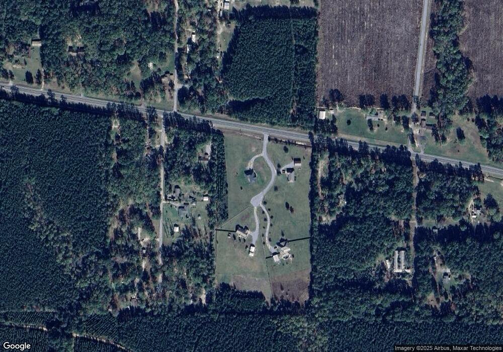
Map
Nearby Homes
- 9561 U S 270
- 9693 Highway 270 E
- 1228 Keg Mill Rd
- 10847 U S 270
- 223 W Clearwater Dr
- 000 Grant 75 Grant 75
- 193 Sycamore Ln
- 6200 Olloway Rd
- 2915 Ashley Rd
- 6100 Olloway Rd
- 9931 Grant 75
- 766 Grant 735
- Lot 1 Grant County Road 762
- lot 16 Grant County Road 761
- lot 27 Grant County Road 763
- lot 23 Grant County Road 763
- 7894 Highway 46 N
- 0 Highway 46 N
- TBD Sassafras Trail
- TBD Arkansas 190
- 9563 Hwy 270 E
- 9563 Highway 270
- 9563 Highway 270 E
- 9567 Highway 270 E
- 9475 Highway 270 E
- 118 Grant 270013
- 88 Grant 270013
- 9565 Highway 270 E
- 9667 Highway 270 E
- 9667 Highway 270 E
- 45 Keg Mill Rd
- 32 Grant 270012
- 29 Grant 270013
- 9361 Highway 270 E
- 58 Grant 270012
- 206 Grant 270013
- 9693 Highway 270 E
- 43 Grant 270012
- 90 Grant 270012
- 41 Brunson Ln