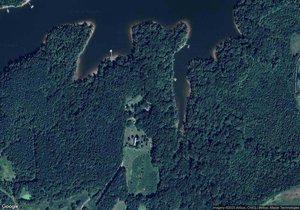
9566 Williamson Rd Bullock, NC 27507
Estimated Value: $347,000 - $712,000
3
Beds
2
Baths
1,576
Sq Ft
$288/Sq Ft
Est. Value
About This Home
This home is located at 9566 Williamson Rd, Bullock, NC 27507 and is currently estimated at $454,503, approximately $288 per square foot. 9566 Williamson Rd is a home located in Granville County with nearby schools including Stovall-Shaw Elementary School, Northern Granville Middle School, and J.F. Webb High School.
Ownership History
Date
Name
Owned For
Owner Type
Purchase Details
Closed on
Aug 18, 2010
Sold by
Lamb Anderson Ray and Lamb Susan C
Bought by
Gray Brandon Scott and Gray Lara Raoyster
Current Estimated Value
Home Financials for this Owner
Home Financials are based on the most recent Mortgage that was taken out on this home.
Original Mortgage
$151,000
Interest Rate
4.03%
Mortgage Type
New Conventional
Purchase Details
Closed on
Feb 2, 2004
Bought by
Gray Brandon Scott and Gray Lara R
Create a Home Valuation Report for This Property
The Home Valuation Report is an in-depth analysis detailing your home's value as well as a comparison with similar homes in the area
Home Values in the Area
Average Home Value in this Area
Purchase History
| Date | Buyer | Sale Price | Title Company |
|---|---|---|---|
| Gray Brandon Scott | -- | -- | |
| Gray Brandon Scott | $190,000 | -- |
Source: Public Records
Mortgage History
| Date | Status | Borrower | Loan Amount |
|---|---|---|---|
| Closed | Gray Brandon Scott | $151,000 |
Source: Public Records
Tax History Compared to Growth
Tax History
| Year | Tax Paid | Tax Assessment Tax Assessment Total Assessment is a certain percentage of the fair market value that is determined by local assessors to be the total taxable value of land and additions on the property. | Land | Improvement |
|---|---|---|---|---|
| 2025 | $1,944 | $266,603 | $92,800 | $173,803 |
| 2024 | $1,944 | $266,603 | $92,800 | $173,803 |
| 2023 | $1,939 | $204,124 | $80,000 | $124,124 |
| 2022 | $1,934 | $204,124 | $80,000 | $124,124 |
| 2021 | $1,807 | $204,124 | $80,000 | $124,124 |
| 2020 | $2,303 | $204,124 | $80,000 | $124,124 |
| 2019 | $2,135 | $204,124 | $80,000 | $124,124 |
| 2018 | $2,133 | $204,125 | $80,000 | $124,125 |
| 2016 | $2,106 | $201,033 | $80,000 | $121,033 |
| 2015 | $2,109 | $201,033 | $80,000 | $121,033 |
| 2013 | -- | $201,033 | $80,000 | $121,033 |
Source: Public Records
Map
Nearby Homes
- 9971 Lakeside Terrace
- 9956 Lakeside Terrace
- 9961 Lakeside Terrace
- 3003 Jonathans Landing
- 9968 Lakeside Terrace
- 3047 Strickland Dr
- 0 Lewis Mill Rd Unit 71073
- 9171 Us Hwy 15 Unit LotWP002
- 9171 Us Hwy 15
- 0 Us Hwy 15 Unit 10044976
- 2666 Vaughan Rd
- 4193 Ji Oakes Rd
- 798 Newton Rd
- 987 Beaver Pond Rd
- 364 Winston Rd
- 44 Winston Rd
- 8707 Grassy Creek Rd
- 8683 Us Highway 15
- 8663 U S 15
- 00 Mount Ararat Rd
- 9568 Williamson Rd
- 9570 Williamson Rd
- 9584 Williamson Rd
- 49 Arrowhead Ln
- 55 Arrowhead Ln
- 51 Arrowhead Ln
- 3577 Grace Meadows Trail
- 3575 Grace Meadows Trail
- 9569 Williamson Rd Unit 6
- 9569 Williamson Rd
- 53 Arrowhead Ln
- Lot 19 Grace Meadows Ln
- 0 Grace Meadows Ln
- 940 Lick Branch Rd
- 3555 Grace Meadows Trail
- 941 Lick Branch Rd
- 9530 Farrow Ln
- 9594 Williamson Rd
- 63 Arrowhead Ln
- 25 Arrowhead Ln
